
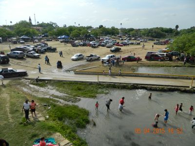
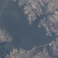
Falcon International Reservoir
18.4 km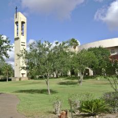
Basilica of the National Shrine of Our Lady of San Juan del Valle
112.6 km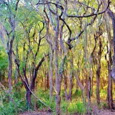
Santa Ana National Wildlife Refuge
118.2 km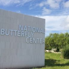
National Butterfly Center
93 km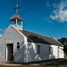
La Lomita Chapel
97.1 km
Bentsen-Rio Grande Valley State Park
91.6 km
McAllen–Hidalgo–Reynosa International Bridge
104.9 km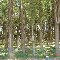
El Sabinal National Park
51.8 km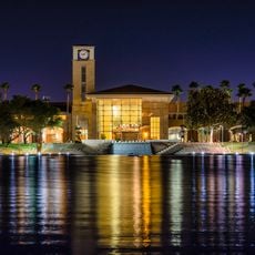
McAllen Convention Center
102.6 km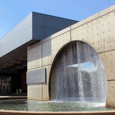
McAllen Public Library
103.3 km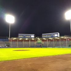
Parque la Junta
120.3 km
McAllen Botanical Gardens
104.5 km
First Lift Station
95.4 km
Roma Historic District
24.1 km
Falcon Dam Port of Entry
19 km
Topgolf
108.4 km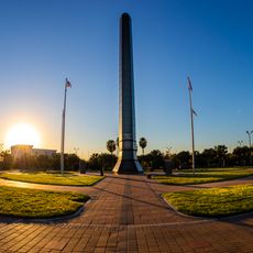
Veterans War Memorial of Texas
103 km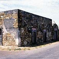
Trevino-Uribe Rancho
72.3 km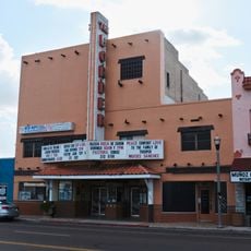
Border Theater
95.7 km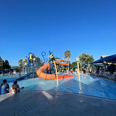
Pharr Aquatic Center
110.9 km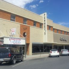
M and J Nelson Building
105 km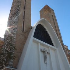
Reynosakatedralen
104.5 km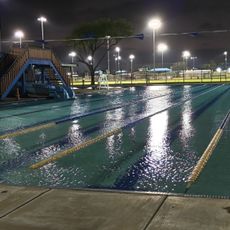
Mcallen public pool
104.3 km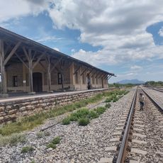
Estación Del Tren
118.3 km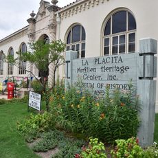
McAllen Heritage Center
105 km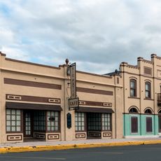
Rio Theater
95.8 km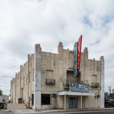
Garmon Theater
44.2 km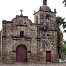
Capilla de San Juan Bautista
11.1 kmVisited this place? Tap the stars to rate it and share your experience / photos with the community! Try now! You can cancel it anytime.
Discover hidden gems everywhere you go!
From secret cafés to breathtaking viewpoints, skip the crowded tourist spots and find places that match your style. Our app makes it easy with voice search, smart filtering, route optimization, and insider tips from travelers worldwide. Download now for the complete mobile experience.

A unique approach to discovering new places❞
— Le Figaro
All the places worth exploring❞
— France Info
A tailor-made excursion in just a few clicks❞
— 20 Minutes