Chest opened
+${chestReward.xp} XP
Explorer
NOUVEAU ×${chestReward.collectible.quantity}
tapez pour fermer

See the monuments around you in AR Open chests in the app

Around Us is built for your phone — point your camera at the streets and discover the monuments and places around you in augmented reality. Around Us is built for your phone — chests unlock when you walk, explore and capture nearby places.

Enable Location

We need your location to show you interesting places around you

Discover nearby places

Find interesting locations and hidden gems around you

Precise directions

Get accurate directions and distances to places

Your location is never shared with other users. It's only used when you tap the location button.

Texas Coastal Bend

Log in to your account

Start exploring — it's free

Trusted by 84,663 travelers worldwide

Continue with Google
Continue with Apple
or

We will send you a code to connect

By continuing, you accept our Terms and Conditions and our Privacy Policy

Check your inbox

We've sent a pincode in your inbox. Please enter the code below.

Texas Coastal Bend
Discussion Reviews 2 Photos
14.7k Popularity

Texas Coastal Bend, Coastal region along Gulf of Mexico, Texas, United States

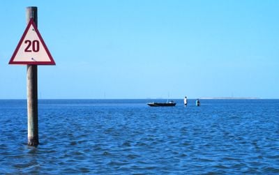
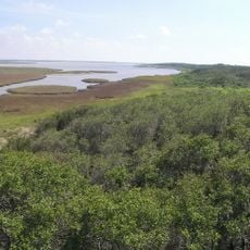
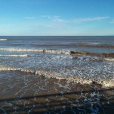
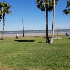
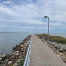
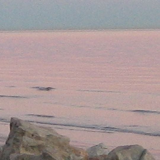
The Texas Coastal Bend is a coastal region along the Gulf of Mexico featuring barrier islands, bays, and estuaries that create a complex network of waterways. The area spans multiple counties with a mix of natural habitats and communities shaped by the surrounding water.

People have lived in this region for thousands of years before Spanish explorers arrived in the 16th century and established missions. These early settlements left a lasting mark on how the coastal communities developed.

The region reflects Mexican and Texan influences in its food and fishing traditions, with fresh seafood dishes and methods that locals have practiced for generations. You can see these customs at waterfront restaurants and fishing docks, where families still use time-honored techniques.

You can reach the region via several main highways, with Corpus Christi serving as the primary arrival point and hub for orientation. From there, different parts of the coast are easily accessible by car.

A national wildlife refuge here hosts the last natural wild population of cranes that migrate to the area during winter. These rare birds are hard to spot, but their presence makes the place special for bird watchers.

The community of curious travelers

AroundUs brings together thousands of curated places, local tips, and hidden gems, enriched daily by 60,000 contributors worldwide.
Start exploring
Location
GPS coordinates
28.40000,-96.40000
Latest update
August 24, 2026 15:21
Around this place
The Big Tree
United States of America

The Big Tree

62.9 km
Green Lake
United States of America

Green Lake

45.4 km
Goose Island State Park
United States of America

Goose Island State Park

64.9 km
Aransas National Wildlife Refuge
United States of America

Aransas National Wildlife Refuge

50.6 km
Copano Bay Fishing Pier
United States of America

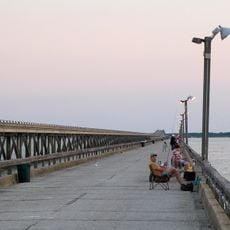
Copano Bay Fishing Pier

68.3 km
Halfmoon Reef Lighthouse
United States of America

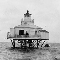
Halfmoon Reef Lighthouse

33.9 km
Matagorda Island Lighthouse
United States of America

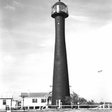
Matagorda Island Lighthouse

7.3 km
Matagorda Beach
United States of America

Matagorda Beach

46.9 km
United States of America

Brackenridge Recreation Complex

64.2 km
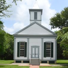
Texana Presbyterian Church
United States of America

Texana Presbyterian Church

67.6 km
King Fisher Beach
United States of America

King Fisher Beach

5.9 km
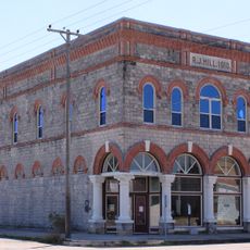
R. J. Hill Building
United States of America

R. J. Hill Building

38.1 km
Lighthouse Beach
United States of America

Lighthouse Beach

33.7 km
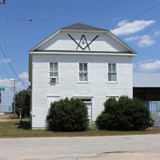
Blessing Masonic Lodge No. 411
United States of America

Blessing Masonic Lodge No. 411

55.9 km
Jackson County Monument
United States of America

Jackson County Monument

68.7 km
Palacious Bay Beach
United States of America

Palacious Bay Beach

37.8 km
United States of America

Texas Centennial Monument

68.7 km
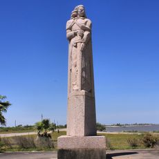
Rene Robert Cavaelier de La Salle Monument
United States of America

Rene Robert Cavaelier de La Salle Monument

29.2 km
Calhoun County Museum
United States of America

Calhoun County Museum

32.3 km
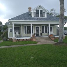
Price-Farwell House
United States of America

Price-Farwell House

37.9 km
United States of America

Shell Beach

30.6 km
United States of America

Goose Island Bird Watching Area

64.6 km
United States of America

Goose Island Boardwalk

65.2 km
United States of America

Rene Robert Cavelier, Sieur de la Salle

17.7 km
United States of America

Scenic viewpoint

41.6 km
United States of America

Scenic viewpoint

41.6 km
United States of America

Scenic viewpoint

41.2 km
United States of America

Formosa-Tejano Wetlands Viewing Platform

45 km
Show the full map
Reviews
Share your experience

No review yet

Discussions
Start a discussion...

No discussion yet

« Texas Coastal Bend - Coastal region along Gulf of Mexico, Texas, United States » is provided by Around Us (aroundus.com). Images and texts are derived from Wikimedia project under a Creative Commons license. You are allowed to copy, distribute, and modify copies of this page, under the conditions set by the license, as long as this note is clearly visible.

Discover hidden gems everywhere you go!

From secret cafés to breathtaking viewpoints, skip the crowded tourist spots and find places that match your style. Our app makes it easy with voice search, smart filtering, route optimization, and insider tips from travelers worldwide. Download now for the complete mobile experience.

Around Us App Screenshot

A unique approach to discovering new places

Le Figaro

All the places worth exploring

France Info

A tailor-made excursion in just a few clicks

20 Minutes

Around Us
Travel Guide & Maps
Download

Send to your phone

QR Code
1

Open the camera app on your mobile.

2

Point at the QR code with your camera. A notification will appear.

3

Tap the notification to open the link.