Enable Location

We need your location to show you interesting places around you

Discover nearby places

Find interesting locations and hidden gems around you

Precise directions

Get accurate directions and distances to places

Your location is never shared with other users. It's only used when you tap the location button.

Callahan County

Log in to your account

Start exploring — it's free

Trusted by 62,486 travelers worldwide

Continue with Google
Continue with Apple
or

We will send you a code to connect

By continuing, you accept our Terms and Conditions and our Privacy Policy

Check your inbox

We've sent a pincode in your inbox. Please enter the code below.

Callahan County, Administrative division in Texas, US

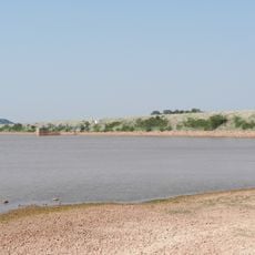
Callahan County is an administrative division in West Texas comprising rolling hills and open spaces across approximately 900 square miles. The Callahan Divide runs through the territory, creating distinct elevation changes that shape the landscape.

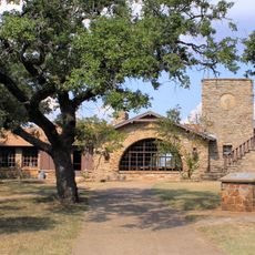
The county was formally organized in 1877 and named after James Hughes Callahan, a participant in the Texas Revolution. This founding shaped the area's development and character over the following decades.

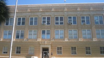
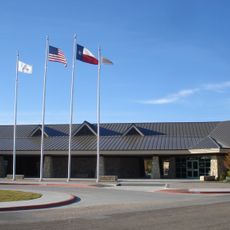
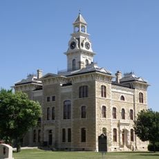
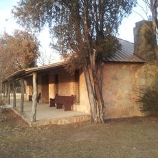
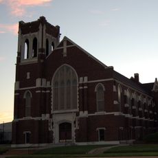
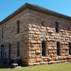
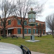
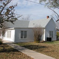
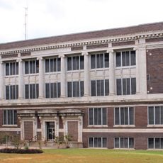
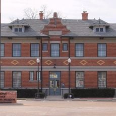
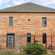
Baird serves as the administrative center where community life unfolds and local heritage is actively preserved. Residents maintain their connection to the land through traditions that reflect the area's pioneer past.

Interstate 20 and U.S. Highway 283 cross the county, connecting it to neighboring areas and making regional travel straightforward. State highways provide access to smaller communities and rural areas throughout the territory.

The Callahan Divide acts as a natural ridge running through the area, separating distinct geographic zones. This elevation line has quietly shaped settlement patterns and travel routes for generations, remaining an overlooked feature of the territory.

The community of curious travelers

AroundUs brings together thousands of curated places, local tips, and hidden gems, enriched daily by 60,000 contributors worldwide.

Start exploring
GPS coordinates
32.28104,-99.36124
Latest update
December 7, 2025 20:48
Around this place
Anthony Field at Wildcat Stadium
United States of America

Anthony Field at Wildcat Stadium

39 km
Shotwell Stadium
United States of America

Shotwell Stadium

36 km
Abilene State Park
United States of America

Abilene State Park

49.1 km
Abilene Zoological Gardens
United States of America

Abilene Zoological Gardens

35.6 km
Lake Brownwood State Park
United States of America

Lake Brownwood State Park

56.7 km
Robert E. Howard Museum
United States of America

Robert E. Howard Museum

25.2 km
Crutcher Scott Field
United States of America

Crutcher Scott Field

38.9 km
The Grace Museum
United States of America

The Grace Museum

39.8 km
Buffalo Gap Historic Village
United States of America

Buffalo Gap Historic Village

43.8 km
Beltway Park Baptist Church
United States of America

Beltway Park Baptist Church

39.8 km
Paramount Theatre
United States of America

Paramount Theatre

39.9 km
Enterprise Tower
United States of America

Enterprise Tower

39.6 km
Hotel Wooten
United States of America

Hotel Wooten

39.9 km
Shackelford County Courthouse Historic District
United States of America

Shackelford County Courthouse Historic District

49.5 km
Camp Colorado Replica
United States of America

Camp Colorado Replica

48.6 km
First Presbyterian Church
United States of America

First Presbyterian Church

40.2 km
Lake Abilene
United States of America

Lake Abilene

50.6 km
Buffalo Gap Historic Village
United States of America

Buffalo Gap Historic Village

43.9 km
Conrad N. Hilton Center & Museum
United States of America

Conrad N. Hilton Center & Museum

37.8 km
Federal Building, United States Post Office and Courthouse
United States of America

Federal Building, United States Post Office and Courthouse

39.8 km
Henry Sayles House
United States of America

Henry Sayles House

40.7 km
Majestic Theatre
United States of America

Majestic Theatre

52.7 km
Cape & Son
United States of America

Cape & Son

40.2 km
Robert E. Howard House
United States of America

Robert E. Howard House

25.2 km
1915 Taylor County Courthouse
United States of America

1915 Taylor County Courthouse

39.4 km
Eastland County Museum
United States of America

Eastland County Museum

52.8 km
Baird Depot Museum
United States of America

Baird Depot Museum

12.7 km
Old Taylor County Courthouse and Jail
United States of America

Old Taylor County Courthouse and Jail

43.9 km
Show the full map
« Callahan County - Administrative division in Texas, US » is provided by Around Us (aroundus.com). Images and texts are derived from Wikimedia project under a Creative Commons license. You are allowed to copy, distribute, and modify copies of this page, under the conditions set by the license, as long as this note is clearly visible.

Discover hidden gems everywhere you go!

From secret cafés to breathtaking viewpoints, skip the crowded tourist spots and find places that match your style. Our app makes it easy with voice search, smart filtering, route optimization, and insider tips from travelers worldwide. Download now for the complete mobile experience.

Around Us App Screenshot

A unique approach to discovering new places

Le Figaro

All the places worth exploring

France Info

A tailor-made excursion in just a few clicks

20 Minutes

Around Us
Travel Guide & Maps
Download

Send to your phone

QR Code
1

Open the camera app on your mobile.

2

Point at the QR code with your camera. A notification will appear.

3

Tap the notification to open the link.