Baylor County

Log in to your account

AroundUs is a community-driven map of interesting places, built by curious explorers like you. It grows with every review, story, and photo you share.
Connect to save your favorite spots, contribute locations, and create personalized routes.
Continue with Google
Continue with Apple
Continue with X
Continue with Facebook
Continue with email
By continuing, you accept our Terms and Conditions and our Privacy Policy
Create an account
Add to collection
Map
Suggest a change
Share

Baylor County, Administrative division in North Central Texas, United States

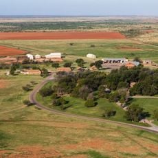
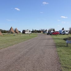
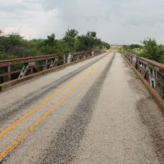
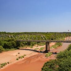
Baylor County is an administrative division in north-central Texas with varied terrain that shifts between flat plains and rolling hills. Two major rivers flow through the county, shaping the landscape and water resources of this rural area.

The county was established in 1858 and named after Henry W. Baylor, a surgeon with the Texas Rangers during the Mexican War. Its founding marked the creation of an official administrative district in a growing region.

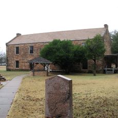
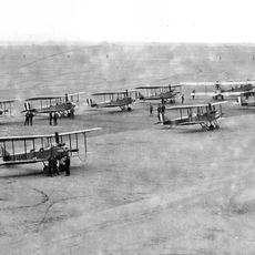
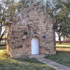
Indigenous peoples shaped this region for centuries, and their presence still marks the landscape through place names and local stories. Walking through the county, you notice these connections in how the land is known and remembered by residents.

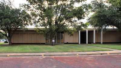
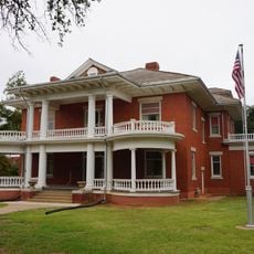
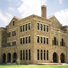
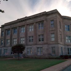
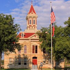
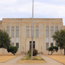
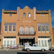
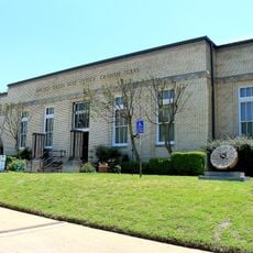
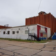
The county courthouse in Seymour serves as the center for public administration and services. If you need information about local regulations or community matters, this is where you can find guidance and official resources.

The region experiences an extended growing season each year, which shapes agricultural practices and the local economy. These natural conditions have influenced how people work and live across generations in this area.

GPS coordinates: 33.57496,-99.20006

Latest update: December 8, 2025 13:40

Photos
Around this place
Newby-McMahon Building
United States of America

Newby-McMahon Building

75.8 km
Waggoner Ranch
United States of America

Waggoner Ranch

40.6 km
Professional Wrestling Hall of Fame and Museum
United States of America

Professional Wrestling Hall of Fame and Museum

75.5 km
Fort Belknap
United States of America

Fort Belknap

63.6 km
Copper Breaks State Park
United States of America

Copper Breaks State Park

78.6 km
Memorial Stadium
United States of America

Memorial Stadium

65.1 km
Wichita Falls Railroad Museum
United States of America

Wichita Falls Railroad Museum

75.9 km
The Kell House
United States of America

The Kell House

74.9 km
Call Field
United States of America

Call Field

68.3 km
Red River Valley Museum
United States of America

Red River Valley Museum

65.9 km
Doan's Adobe House
United States of America

Doan's Adobe House

85.7 km
Beaver Creek Bridge
United States of America

Beaver Creek Bridge

45.9 km
Archer County Courthouse and Jail
United States of America

Archer County Courthouse and Jail

53.4 km
Tillman County Courthouse
United States of America

Tillman County Courthouse

92.4 km
Throckmorton County Courthouse and Jail
United States of America

Throckmorton County Courthouse and Jail

44.1 km
Fort Belknap Historic Site
United States of America

Fort Belknap Historic Site

63.6 km
Wichita Theatre and Opera House
United States of America

Wichita Theatre and Opera House

75.7 km
Kell House Museum
United States of America

Kell House Museum

74.9 km
Knox County Courthouse
United States of America

Knox County Courthouse

55 km
Ramona Theatre
United States of America

Ramona Theatre

91.8 km
National Theater
United States of America

National Theater

77 km
Red River Valley Museum
United States of America

Red River Valley Museum

65.8 km
Lake Wichita
United States of America

Lake Wichita

66 km
Morningside Historic District
United States of America

Morningside Historic District

72.6 km
Old Post Office Museum & Art Center
United States of America

Old Post Office Museum & Art Center

77.1 km
Depot Square Historic District
United States of America

Depot Square Historic District

75.8 km
Chillicothe First Methodist Church
United States of America

Chillicothe First Methodist Church

81.1 km
State Highway 120 Bridge at the Brazos River
United States of America

State Highway 120 Bridge at the Brazos River

60.7 km
Show the full map
Reviews

Visited this place? Tap the stars to rate it and share your experience / photos with the community! Try now! You can cancel it anytime.

« Baylor County - Administrative division in North Central Texas, United States » is provided by Around Us (aroundus.com). Images and texts are derived from Wikimedia project under a Creative Commons license. You are allowed to copy, distribute, and modify copies of this page, under the conditions set by the license, as long as this note is clearly visible.

Discover hidden gems everywhere you go!

From secret cafés to breathtaking viewpoints, skip the crowded tourist spots and find places that match your style. Our app makes it easy with voice search, smart filtering, route optimization, and insider tips from travelers worldwide. Download now for the complete mobile experience.

Around Us App Screenshot

A unique approach to discovering new places

Le Figaro

All the places worth exploring

France Info

A tailor-made excursion in just a few clicks

20 Minutes