
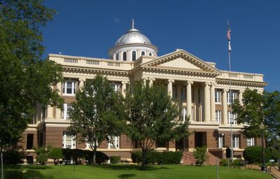
Anderson County, County government center in Palestine, Texas, United States.
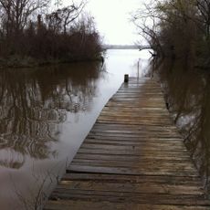
Anderson County extends across 1,062 square miles of East Texas terrain, featuring forests, lakes, and agricultural lands that support regional wildlife populations.
Established in 1846, the county received its name from Kenneth Lewis Anderson, the final vice president of the Republic of Texas before statehood.
The Texas State Railroad operates in Anderson County, providing train excursions while preserving the industrial heritage of East Texas transportation.
The county maintains multiple administrative offices in Palestine, offering residents access to court records, tax services, and vehicle registration facilities.
The county receives 41.70 inches of annual rainfall, creating conditions for dogwood trees that flower during spring throughout the region.
Location: Texas
Inception: March 24, 1846
Capital city: Palestine
Shares border with: Houston County, Leon County, Freestone County, Henderson County, Cherokee County
Website: http://co.anderson.tx.us
GPS coordinates: 31.81000,-95.65000
Latest update: May 27, 2025 08:46
Lake Palestine
44.7 km
Caddo Mounds State Historic Site
52.9 km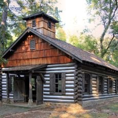
Mission Tejas State Park
48.5 km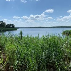
Fairfield Lake State Park
39.9 km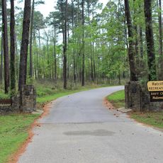
Ratcliff Lake Recreation Area
66.4 km
Rose Garden Center
67.2 km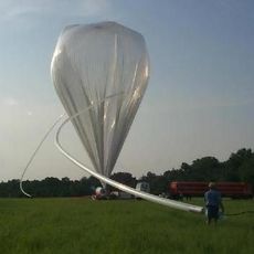
Millimeter Anisotropy eXperiment IMaging Array
7.7 km
Texas State Railroad
10.4 km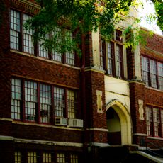
Museum for East Texas Culture
6.2 km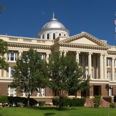
Anderson County Courthouse
5.5 km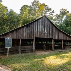
Anderson Camp Ground
16.2 km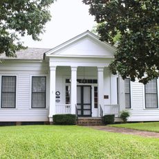
Howard House
5 km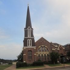
First Presbyterian Church
5.7 km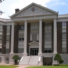
Henderson County Courthouse
48 km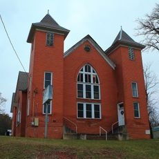
Mount Vernon African Methodist Episcopal Church
5.3 km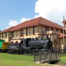
Trinity and Brazos Valley Railroad Depot and Office Building
63.6 km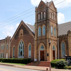
First United Methodist Church
57.9 km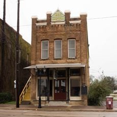
Faulk and Gauntt Building
48.1 km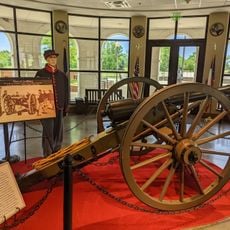
American Freedom Museum
48.4 km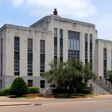
Houston County Courthouse
57.7 km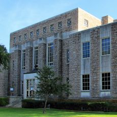
Cherokee County Courthouse
47.3 km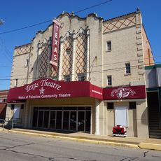
Texas Theater
5.5 km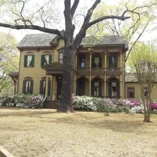
The McClendon House
67.5 km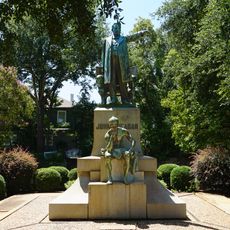
John H. Reagan Statue
6.3 km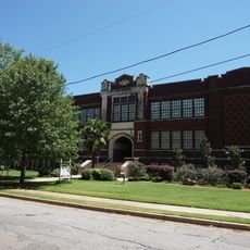
Palestine High School
6.2 km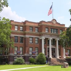
Freestone County Courthouse
49.2 km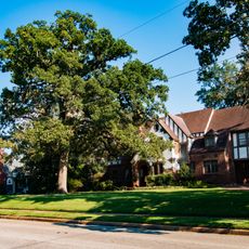
Michaux Park Historic District
6.5 km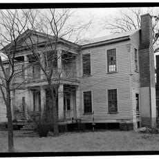
Col. John Dewberry House
45.2 kmReviews
Visited this place? Tap the stars to rate it and share your experience / photos with the community! Try now! You can cancel it anytime.
Discover hidden gems everywhere you go!
From secret cafés to breathtaking viewpoints, skip the crowded tourist spots and find places that match your style. Our app makes it easy with voice search, smart filtering, route optimization, and insider tips from travelers worldwide. Download now for the complete mobile experience.

A unique approach to discovering new places❞
— Le Figaro
All the places worth exploring❞
— France Info
A tailor-made excursion in just a few clicks❞
— 20 Minutes