Lake Tawakoni, Recreational reservoir in eastern Texas, United States.
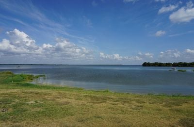
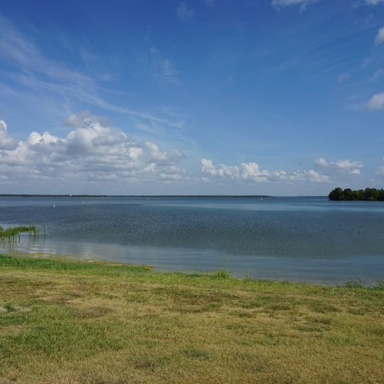
Lake Tawakoni is a reservoir in eastern Texas that extends across Van Zandt, Rains, and Hunt counties. The water covers an area of roughly 15,330 hectares and reaches depths of about 21 meters (70 feet) in some places, with a shoreline stretching about eight kilometers (five miles).
Lake Tawakoni was formed in 1960 when the Iron Bridge Dam was built across the Sabine River, creating a 37,879-acre reservoir owned by the Sabine River Authority of Texas. The site was chosen because of its proximity to the growing Dallas area and the expansion of the city and its suburbs eastward. The South Fork, Cowleech Fork and Caddo Forks, which formed the headwaters of the Sabine, now lie submerged beneath the lake, which itself serves as the river's headwaters.
The reservoir takes its name from the Tawakoni tribe that once lived along the Sabine River. Anglers arrive early in the morning when bass and catfish are more active, and many spend the entire day on the shore or in small boats.
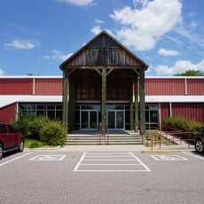
Several boat launch ramps are located around the lake, and the camping areas offer sites with electricity and water connections. A small store nearby sells fishing gear and provides snacks and drinks.
In summer 2007, a spider web stretched across a 200-yard path at Lake Tawakoni State Park and drew entomologists from several institutions. The lake's name comes from the Tawakoni, a people of the larger Caddo Nation whose territory covered this part of North and East Texas.
The community of curious travelers
AroundUs brings together thousands of curated places, local tips, and hidden gems, enriched daily by 92,833 contributors worldwide.