Chest opened
+${chestReward.xp} XP
Explorer
NOUVEAU ×${chestReward.collectible.quantity}
tapez pour fermer
Chest locked

Open chests in the app

Around Us is built for your phone — chests unlock when you walk, explore and capture nearby places.

Enable Location

We need your location to show you interesting places around you

Discover nearby places

Find interesting locations and hidden gems around you

Precise directions

Get accurate directions and distances to places

Your location is never shared with other users. It's only used when you tap the location button.

Arabi

Log in to your account

Start exploring — it's free

Trusted by 76,472 travelers worldwide

Continue with Google
Continue with Apple
or

We will send you a code to connect

By continuing, you accept our Terms and Conditions and our Privacy Policy

Check your inbox

We've sent a pincode in your inbox. Please enter the code below.

Discussion Reviews 1 Photos
25k Popularity

Arabi, Census-designated place in St. Bernard Parish, Louisiana, United States.

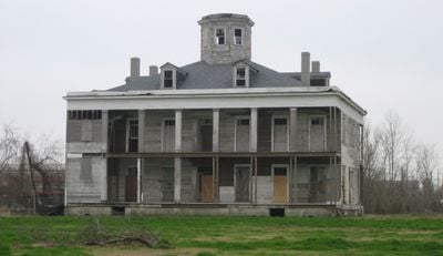
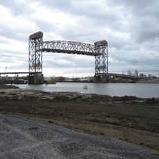
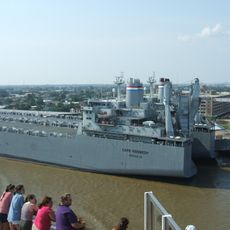
Arabi is a community on the eastern bank of the Mississippi River, situated between the Lower 9th Ward of New Orleans and Chalmette. The area features both residential neighborhoods and commercial establishments that shape its character.

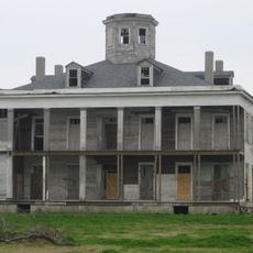
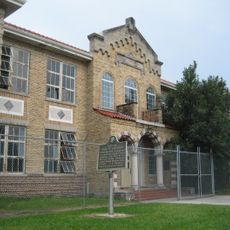
Founded in the 19th century as Stockyard Landing, the area housed numerous slaughterhouses after New Orleans banned them within city limits. The place's development was tied closely to meat processing and the region's economic growth.

The community maintains strong ties to New Orleans traditions through local restaurants serving regional cuisine and frequent neighborhood celebrations. Visitors can experience the culinary and social practices that shape everyday life here.

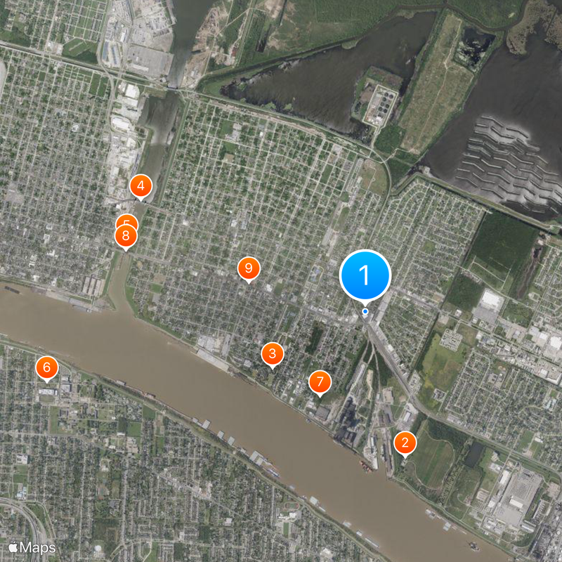
The area is easily accessible by car or public transit with multiple connections to New Orleans. Visitors should keep in mind this is a residential community, so expect local traffic and parking conditions typical of neighborhoods.

Archaeological digs in Old Arabi yards uncovered historical artifacts including blood traps and dishware from former New Orleans hotels. These findings reveal the industrial past and connection to the city's hospitality trade.

The community of curious travelers

AroundUs brings together thousands of curated places, local tips, and hidden gems, enriched daily by 60,000 contributors worldwide.

Start exploring
GPS coordinates
29.95750,-89.99889
Latest update
March 4, 2026 16:16
Around this place
Jean Lafitte National Historical Park and Preserve
United States of America

Jean Lafitte National Historical Park and Preserve

1.7 km
Jackson Barracks
United States of America

Jackson Barracks

1.3 km
Claiborne Avenue Bridge
United States of America

Claiborne Avenue Bridge

2.9 km
United States of America

Industrial Canal Lock

2.9 km
Force Headquarters Group
United States of America

Force Headquarters Group

3.8 km
LeBeau Plantation
United States of America

LeBeau Plantation

1.1 km
St. Claude Avenue Bridge
United States of America

St. Claude Avenue Bridge

2.9 km
McDonogh 19 Elementary School
United States of America

McDonogh 19 Elementary School

1.4 km
Behrman Stadium
United States of America

Behrman Stadium

3.3 km
Florida Avenue Bridge
United States of America

Florida Avenue Bridge

3.4 km
U.S. Army Supply Base New Orleans
United States of America

U.S. Army Supply Base New Orleans

3.2 km
Adolph Meyer School
United States of America

Adolph Meyer School

3.9 km
Friscoville Street Historic District
United States of America

Friscoville Street Historic District

832 m
Lower Ninth Ward Living Museum
United States of America

Lower Ninth Ward Living Museum

1.4 km
Chalmette Unit of Jean Lafitte National Historical Park
United States of America

Chalmette Unit of Jean Lafitte National Historical Park

1.7 km
House of Dance & Feathers
United States of America

House of Dance & Feathers

1.2 km
United States of America

Chalmette Monument

1.7 km
United States of America

Spotts Monument

1.9 km
United States of America

Holy Cross Historic District

1.8 km
United States of America

Federal City Auditorium

3.3 km

Saint Bernard Parish Civic Auditorium

1.7 km
United States of America

The Front

3.5 km
United States of America

Nord Sculpture

3.4 km
United States of America

Cannon

1.7 km
United States of America

Cannon

1.7 km
United States of America

Cannon

1.6 km
United States of America

Cannon

1.6 km
United States of America

Cannon

1.8 km
Show the full map
Reviews
Share your experience

No review yet

Discussions
Start a discussion...

No discussion yet

« Arabi - Census-designated place in St. Bernard Parish, Louisiana, United States » is provided by Around Us (aroundus.com). Images and texts are derived from Wikimedia project under a Creative Commons license. You are allowed to copy, distribute, and modify copies of this page, under the conditions set by the license, as long as this note is clearly visible.

Discover hidden gems everywhere you go!

From secret cafés to breathtaking viewpoints, skip the crowded tourist spots and find places that match your style. Our app makes it easy with voice search, smart filtering, route optimization, and insider tips from travelers worldwide. Download now for the complete mobile experience.

Around Us App Screenshot

A unique approach to discovering new places

Le Figaro

All the places worth exploring

France Info

A tailor-made excursion in just a few clicks

20 Minutes

Around Us
Travel Guide & Maps
Download

Send to your phone

QR Code
1

Open the camera app on your mobile.

2

Point at the QR code with your camera. A notification will appear.

3

Tap the notification to open the link.