Chest opened
+${chestReward.xp} XP
Explorer
NOUVEAU ×${chestReward.collectible.quantity}
tapez pour fermer

See the monuments around you in AR Open chests in the app

Around Us is built for your phone — point your camera at the streets and discover the monuments and places around you in augmented reality. Around Us is built for your phone — chests unlock when you walk, explore and capture nearby places.

Enable Location

We need your location to show you interesting places around you

Discover nearby places

Find interesting locations and hidden gems around you

Precise directions

Get accurate directions and distances to places

Your location is never shared with other users. It's only used when you tap the location button.

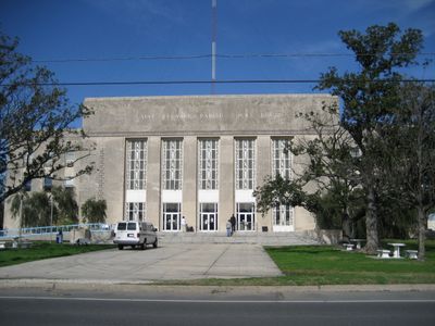
St. Bernard Parish

Log in to your account

Start exploring — it's free

Trusted by 86,580 travelers worldwide

Continue with Google
Continue with Apple
or

We will send you a code to connect

By continuing, you accept our Terms and Conditions and our Privacy Policy

Check your inbox

We've sent a pincode in your inbox. Please enter the code below.

Discussion Reviews 3 Photos
46.2k Popularity

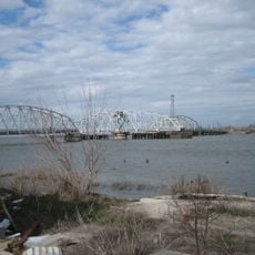
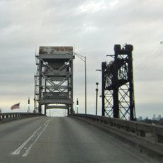
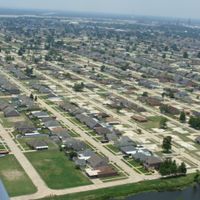
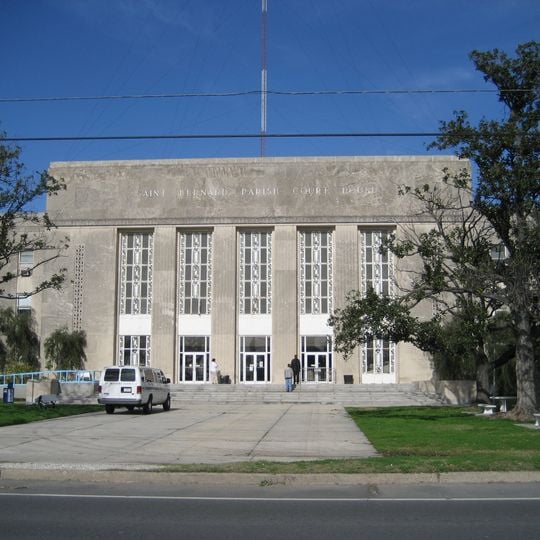
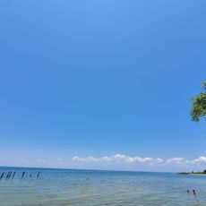
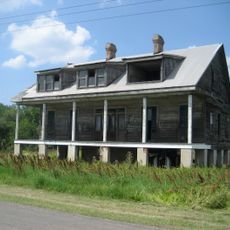
St. Bernard Parish, Administrative division in southeastern Louisiana, United States.

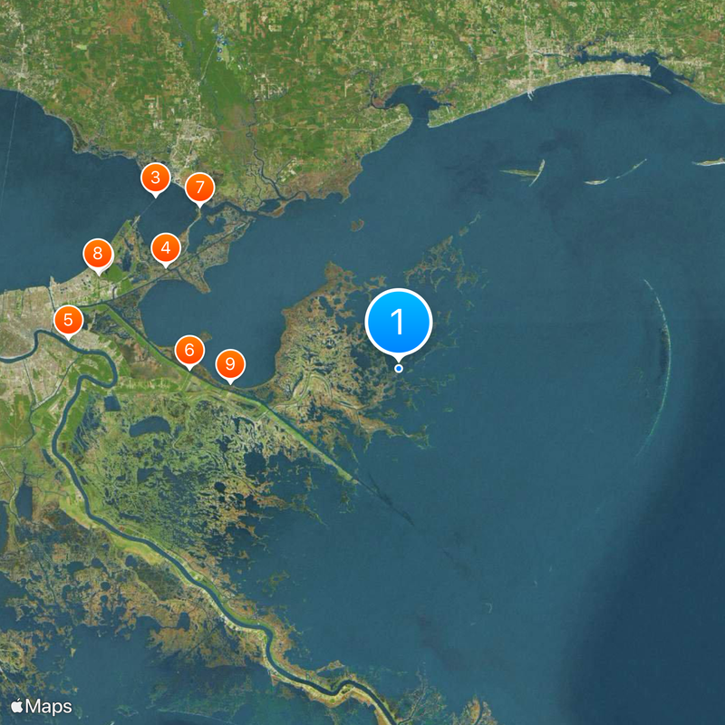
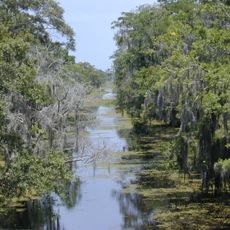
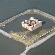
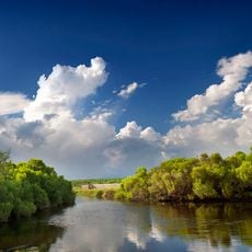
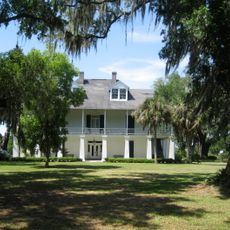
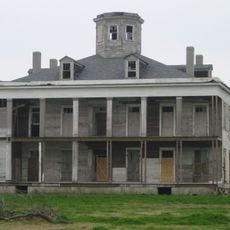
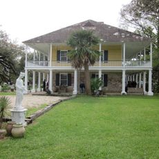
St. Bernard Parish is an administrative division in southeastern Louisiana that encompasses both mainland areas and water regions. The territory includes the Chandeleur Islands and extends into surrounding coastal waters.

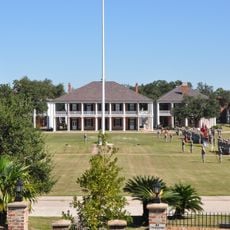
The Battle of New Orleans took place in 1815 at Chalmette Battlefield, now preserved as part of the Jean Lafitte National Historical Park. The area has served as a significant location in the region's military past.

The parish maintains its connection to Spanish heritage through the Isleños community, whose ancestors from the Canary Islands continue to practice traditional customs and language.

The parish provides various public services including coastal management, emergency preparedness, and public transportation options. Weather and seasonal conditions can affect accessibility and travel throughout the area.

A major storm in 2005 significantly affected the entire area, leading to substantial changes in population and infrastructure. This event continues to shape the community's character today.

The community of curious travelers

AroundUs brings together thousands of curated places, local tips, and hidden gems, enriched daily by 60,000 contributors worldwide.
Start exploring
Location
Inception
1807
Capital city
Chalmette
Shares border with
Plaquemines Parish, Orleans Parish
Website
GPS coordinates
29.91485,-89.38511
Latest update
September 12, 2026 00:05
Around this place
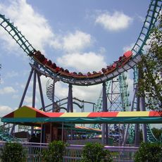
Six Flags New Orleans
United States of America

Six Flags New Orleans

34.3 mi
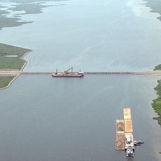
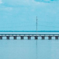
I-10 Twin Span Bridge
United States of America

I-10 Twin Span Bridge

32.2 mi
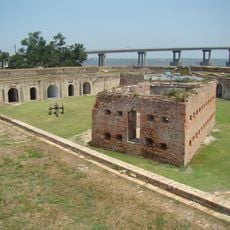
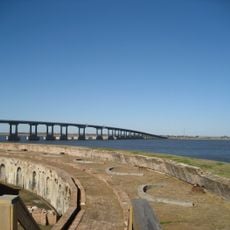
Fort Macomb
United States of America

Fort Macomb

27.1 mi
Jean Lafitte National Historical Park and Preserve
United States of America

Jean Lafitte National Historical Park and Preserve

36.4 mi
Mississippi River – Gulf Outlet Canal
United States of America

Mississippi River – Gulf Outlet Canal

22.4 mi
Fort Pike
United States of America

Fort Pike

27.3 mi
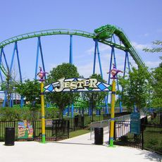
The Jester
United States of America

The Jester

34.4 mi
Fort Proctor
United States of America

Fort Proctor

17.9 mi
Jackson Barracks
United States of America

Jackson Barracks

37.5 mi
Mega Zeph
United States of America

Mega Zeph

34.5 mi
Bayou Sauvage Urban National Wildlife Refuge
United States of America

Bayou Sauvage Urban National Wildlife Refuge

30.2 mi
Lincoln Beach amusement park
United States of America

Lincoln Beach amusement park

35.7 mi
United States of America

Norfolk Southern Lake Pontchartrain Bridge

33.6 mi
Maestri Bridge
United States of America

Maestri Bridge

33.3 mi
Zydeco Scream
United States of America

Zydeco Scream

34.3 mi
Breton National Wildlife Refuge
United States of America

Breton National Wildlife Refuge

33.7 mi
Fort Pike Bridge
United States of America

Fort Pike Bridge

27.4 mi
United States of America

Fort De La Boulaye

38.3 mi
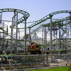
Muskrat Scrambler
United States of America

Muskrat Scrambler

34.3 mi
Kenilworth Plantation House
United States of America

Kenilworth Plantation House

25.9 mi
LeBeau Plantation
United States of America

LeBeau Plantation

37.2 mi
St. Bernard State Park
United States of America

St. Bernard State Park

31.1 mi
Mary Plantation House
United States of America

Mary Plantation House

37.7 mi
Chef Menteur Bridge
United States of America

Chef Menteur Bridge

27.2 mi
Harlem Plantation House
United States of America

Harlem Plantation House

37 mi
United States of America

Battery Bienvenue

30.1 mi
United States of America

Chua Bo De

35.5 mi
Judge Perez Bridge
United States of America

Judge Perez Bridge

37.5 mi
Show the full map
Reviews
Share your experience

No review yet

Discussions
Start a discussion...

No discussion yet

Administrative divisions
« St. Bernard Parish - Administrative division in southeastern Louisiana, United States » is provided by Around Us (aroundus.com). Images and texts are derived from Wikimedia project under a Creative Commons license. You are allowed to copy, distribute, and modify copies of this page, under the conditions set by the license, as long as this note is clearly visible.

Discover hidden gems everywhere you go!

From secret cafés to breathtaking viewpoints, skip the crowded tourist spots and find places that match your style. Our app makes it easy with voice search, smart filtering, route optimization, and insider tips from travelers worldwide. Download now for the complete mobile experience.
Around Us App Screenshot

A unique approach to discovering new places

Le Figaro

All the places worth exploring

France Info

A tailor-made excursion in just a few clicks

20 Minutes

Around Us
Travel Guide & Maps
Download

Send to your phone

QR Code
1

Open the camera app on your mobile.

2

Point at the QR code with your camera. A notification will appear.

3

Tap the notification to open the link.