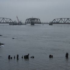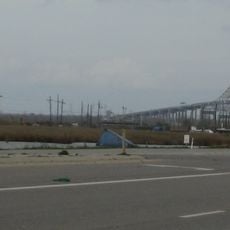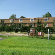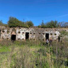
Bayou Sauvage Urban National Wildlife Refuge, National Wildlife Refuge in Eastern New Orleans, Louisiana
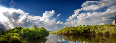
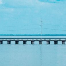
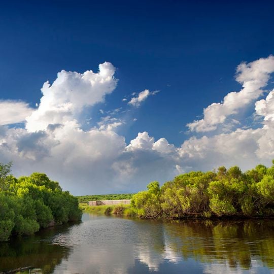
Bayou Sauvage National Wildlife Refuge is a 23,000-acre expanse of fresh and brackish marshes, lagoons, canals, and bottomland hardwood forest within New Orleans city limits. A narrow waterway runs between banks lined with dense green shrubs and low trees, and a low levee crosses the channel in the distance. The refuge lies inside hurricane protection levees.
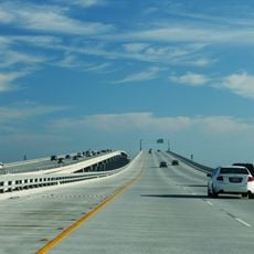
The refuge occupies land that was for decades slated for a master-planned community called Pontchartrain, later Orlandia and New Orleans East. Three interchanges with I-10 were built for it; two were never used and remain as ghost exits. The site became a national wildlife refuge in 1990.
The refuge takes its name from the Bayou Sauvage waterway. The land was slated for decades as the site of a master-planned community called Pontchartrain, Orlandia and New Orleans East; three I-10 interchanges were built for it, and two remain unused "ghost exits" motorists still pass today.
Most of the refuge lies inside hurricane protection levees, and the marshes, lagoons and bayous are reached by boat or on foot; bring sturdy shoes and insect protection. Two of the three I-10 interchanges built for the abandoned development remain unused and appear as ghost exits.
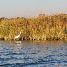
The refuge hosts tens of thousands of migrating birds during spring and fall peak seasons as they travel between North and South America. This gathering makes it one of the most important stopover points for traveling species in the region.
The community of curious travelers
AroundUs brings together thousands of curated places, local tips, and hidden gems, enriched daily by 92,825 contributors worldwide.