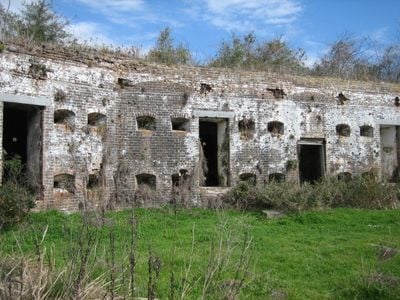
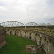
Fort Macomb, Brick fortress in Orleans Parish, United States
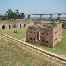
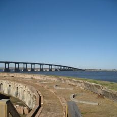
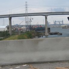
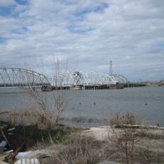
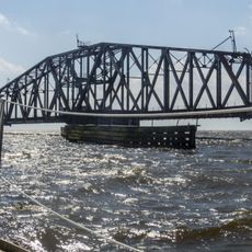
Fort Macomb is a brick fortress on the western shore of Chef Menteur Pass, linking Lake Pontchartrain to the Gulf of Mexico via Lake Borgne. The structure follows a wedge-shaped layout with curved front walls facing the channel and a central citadel building, surrounded by two water-filled ditches.
The United States military built this fortress starting in 1822 following the British invasion during the War of 1812, originally naming it Fort Wood. The structure later received its current name honoring General Alexander Macomb, who fought against British forces in that conflict.
The First Louisiana Native Guard, one of the first African American regiments in the Union Army, performed guard duties here during the Civil War. This unit represented an important chapter in Southern military history and made use of the strategic waterway position for their assignments.
The fortress remains closed to visitors due to structural damage, but the outer walls and location can be viewed from the surrounding area. Sections of the former moat have been converted into a canal system near Venetian Isles, altering the original water landscape today.
The wedge-shaped design with its curved walls facing the channel differs from most other coastal fortresses of that era, which typically had rectangular or star-shaped layouts. This construction aimed to present the smallest and most angled target surface to enemy ship cannon fire.
The community of curious travelers
AroundUs brings together thousands of curated places, local tips, and hidden gems, enriched daily by 60,000 contributors worldwide.