Enable Location

We need your location to show you interesting places around you

Discover nearby places

Find interesting locations and hidden gems around you

Precise directions

Get accurate directions and distances to places

Your location is never shared with other users. It's only used when you tap the location button.

Livingston Parish

Log in to your account

Start exploring — it's free

Trusted by 61,366 travelers worldwide

Continue with Google
Continue with Apple
or

We will send you a code to connect

By continuing, you accept our Terms and Conditions and our Privacy Policy

Check your inbox

We've sent a pincode in your inbox. Please enter the code below.

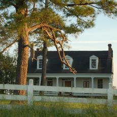
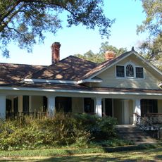
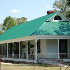
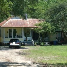
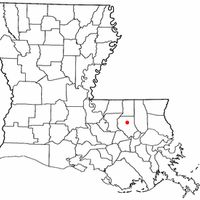
Livingston Parish, Administrative division in Louisiana, United States

Description

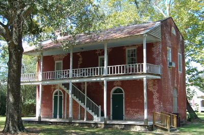
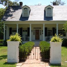
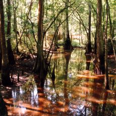
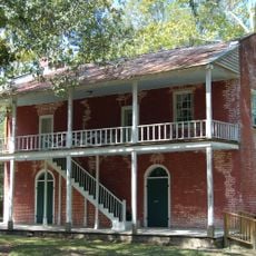
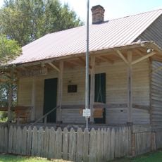
Livingston Parish is an administrative region in southeastern Louisiana that spans diverse landscapes, rivers, lakes, and a combination of rural and urban communities. The area features woodlands and waterways that shape daily life and the local economy.

History

The area became an official administrative region in 1832 and took its name from Edward Livingston, who served as Secretary of State under President Andrew Jackson. This naming honors the region's connection to early American political history.

Culture

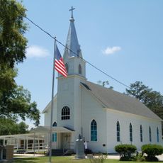
The parish's character emerges through local gatherings where residents celebrate regional food, music, and agricultural traditions rooted in Louisiana's past. These occasions bring people together and keep regional customs alive.

Practical

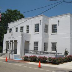
Local government services operate Monday through Thursday from 7:00 AM to 5:00 PM, with the main office located in the town center. Plan your visit during these hours and contact ahead if you need specific assistance from county staff.

Did you know?

The Sheriff's Office organizes an annual Christmas Crusade each December that distributes aid to local families in need. This yearly initiative demonstrates how the community comes together to support its neighbors during the holiday season.

Location
Inception
1832
Capital city
Livingston
Shares border with
Tangipahoa Parish, Ascension Parish, St. Helena Parish, St. John the Baptist Parish, East Baton Rouge Parish
GPS coordinates
30.44000,-90.73000
Latest update
December 20, 2025 13:48

AroundUs brings together thousands of curated places, local tips, and hidden gems, enriched daily by 60,000 contributors worldwide. Discover all places nearby (Louisiana).

Around this place
Carter Plantation
United States of America

Carter Plantation

14.8 km
Tickfaw State Park
United States of America

Tickfaw State Park

11.5 km
United States of America

Walker High School

15.1 km
Audubon Plantation
United States of America

Audubon Plantation

23.6 km
Robert Penn Warren House
United States of America

Robert Penn Warren House

27.6 km
Macedonia Baptist Church
United States of America

Macedonia Baptist Church

18.5 km
St. Margaret Catholic Church
United States of America

St. Margaret Catholic Church

14.8 km
Denham Springs City Hall
United States of America

Denham Springs City Hall

22.3 km
Old Livingston Parish Courthouse
United States of America

Old Livingston Parish Courthouse

17.7 km
Decareaux House
United States of America

Decareaux House

17.1 km
Hungarian Settlement School
United States of America

Hungarian Settlement School

14.9 km
United States of America

Guitreau House

15.3 km
Castleberry Boarding House
United States of America

Castleberry Boarding House

16.6 km
Deslattes House
United States of America

Deslattes House

17.4 km
Adam Lobell House
United States of America

Adam Lobell House

17.4 km
Aqua PARDS
United States of America

Aqua PARDS

19.3 km
United States of America

Carter House

23.1 km
LIGO Livingston Observatory
United States of America

LIGO Livingston Observatory

11.7 km
United States of America

Duncans Bluff

15.5 km
United States of America

Saulsettoon Bluff

6.4 km
United States of America

Mallets Bluff

20.8 km
G.W. Nesom House
United States of America

G.W. Nesom House

28.1 km
United States of America

Independence Historic District

30.9 km
United States of America

The Pines at North Park

19.9 km
United States of America

Carter Plantation

15.3 km
United States of America

Mitchell's Swamp Adventures/Mitchell - Kliebert Headquarters

23.5 km
United States of America

Urban Air Trampoline and Adventure Park

22.2 km
United States of America

Work of art, statue

13.6 km
Show the full map
Administrative divisions
« Livingston Parish - Administrative division in Louisiana, United States » is provided by Around Us (aroundus.com). Images and texts are derived from Wikimedia project under a Creative Commons license. You are allowed to copy, distribute, and modify copies of this page, under the conditions set by the license, as long as this note is clearly visible.

Discover hidden gems everywhere you go!

From secret cafés to breathtaking viewpoints, skip the crowded tourist spots and find places that match your style. Our app makes it easy with voice search, smart filtering, route optimization, and insider tips from travelers worldwide. Download now for the complete mobile experience.

Around Us App Screenshot

A unique approach to discovering new places

Le Figaro

All the places worth exploring

France Info

A tailor-made excursion in just a few clicks

20 Minutes

Around Us
Travel Guide & Maps
Download

Send to your phone

QR Code
1

Open the camera app on your mobile.

2

Point at the QR code with your camera. A notification will appear.

3

Tap the notification to open the link.