Enable Location

We need your location to show you interesting places around you

Discover nearby places

Find interesting locations and hidden gems around you

Precise directions

Get accurate directions and distances to places

Your location is never shared with other users. It's only used when you tap the location button.

Ponchatoula

Log in to your account

Start exploring — it's free

Trusted by 63,230 travelers worldwide

Continue with Google
Continue with Apple
or

We will send you a code to connect

By continuing, you accept our Terms and Conditions and our Privacy Policy

Check your inbox

We've sent a pincode in your inbox. Please enter the code below.

Discussion Reviews 2 Photos
30k Popularity

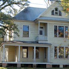
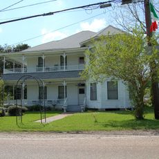
Ponchatoula, Railroad city in Tangipahoa Parish, Louisiana, United States

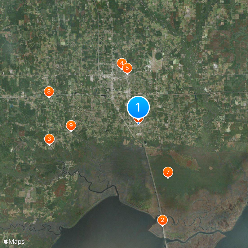
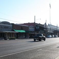
Ponchatoula is a city located in Tangipahoa Parish, positioned between New Orleans and Baton Rouge along Louisiana's landscape. The town sits at a low elevation near Lake Pontchartrain and is home to around 7,500 residents.

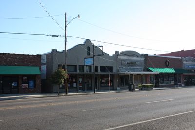
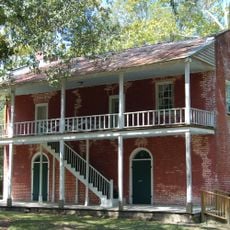
The town was founded in 1820 when James B. Clarke built a railroad depot and laid out streets in a grid pattern with names based on native trees. This railroad connection shaped the settlement's early development and purpose.

The name comes from Choctaw words meaning flowing or hanging hair, connecting the place to its Native American roots. Walking through town, you sense this heritage in how locals speak about and relate to the landscape.

The town is easy to navigate thanks to its grid-based street layout, making it simple to explore on foot or by car. The relatively small size and flat terrain mean you can see the main areas without difficulty.

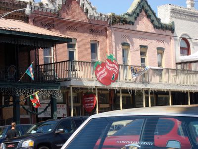
Around 1900, the economy shifted from logging to strawberry farming, turning the town into a major shipping hub for agricultural goods. This agricultural transformation became deeply woven into the community's identity and daily rhythms.

The community of curious travelers

AroundUs brings together thousands of curated places, local tips, and hidden gems, enriched daily by 60,000 contributors worldwide.

Start exploring
Inception
1820
Elevation above the sea
8 m
GPS coordinates
30.43920,-90.44250
Latest update
December 20, 2025 02:47
Around this place
Manchac Swamp Bridge
United States of America

Manchac Swamp Bridge

15.6 km
Carter Plantation
United States of America

Carter Plantation

13.5 km
Strawberry Stadium
United States of America

Strawberry Stadium

8.4 km
Columbia Theatre for the Performing Arts
United States of America

Columbia Theatre for the Performing Arts

7.4 km
Ponchatoula Commercial Historic District
United States of America

Ponchatoula Commercial Historic District

71 m
United States of America

Joyce Wildlife Management Area

9.2 km
St. Margaret Catholic Church
United States of America

St. Margaret Catholic Church

13.8 km
Old Livingston Parish Courthouse
United States of America

Old Livingston Parish Courthouse

10 km
Randal House
United States of America

Randal House

8.2 km
United States of America

Oaks Hotel

8.6 km
Louisiana Renaissance Festival
United States of America

Louisiana Renaissance Festival

12.2 km
McGehee House
United States of America

McGehee House

6.3 km
Hungarian Settlement School
United States of America

Hungarian Settlement School

13.4 km
United States of America

Wascom House

8.2 km
Cate House
United States of America

Cate House

7.5 km
United States of America

Carter House

6.3 km
United States of America

Nichols House

3 km
Louisiana Children's Discovery Center
United States of America

Louisiana Children's Discovery Center

7.5 km
United States of America

Duncans Bluff

13.6 km
G.W. Nesom House
United States of America

G.W. Nesom House

15.8 km
Lucius McGehee Hall
United States of America

Lucius McGehee Hall

8.4 km
Hammond Historic District
United States of America

Hammond Historic District

7.4 km
United States of America

Hammond Golf Center

4.3 km
United States of America

Carter Plantation

12.9 km
United States of America

Hammond Historic District

7.4 km
United States of America

Mitchell's Swamp Adventures/Mitchell - Kliebert Headquarters

4.5 km
United States of America

Kalle Art

598 m
United States of America

Yogi bear Jellystone Park Campground

12.8 km
Show the full map
Reviews
Share your experience

No review yet

Discussions
Start a discussion...

No discussion yet

« Ponchatoula - Railroad city in Tangipahoa Parish, Louisiana, United States » is provided by Around Us (aroundus.com). Images and texts are derived from Wikimedia project under a Creative Commons license. You are allowed to copy, distribute, and modify copies of this page, under the conditions set by the license, as long as this note is clearly visible.

Discover hidden gems everywhere you go!

From secret cafés to breathtaking viewpoints, skip the crowded tourist spots and find places that match your style. Our app makes it easy with voice search, smart filtering, route optimization, and insider tips from travelers worldwide. Download now for the complete mobile experience.

Around Us App Screenshot

A unique approach to discovering new places

Le Figaro

All the places worth exploring

France Info

A tailor-made excursion in just a few clicks

20 Minutes

Around Us
Travel Guide & Maps
Download

Send to your phone

QR Code
1

Open the camera app on your mobile.

2

Point at the QR code with your camera. A notification will appear.

3

Tap the notification to open the link.