Cane Creek State Park, State park between Gulf Coastal Plain and Mississippi Delta in Lincoln County, Arkansas
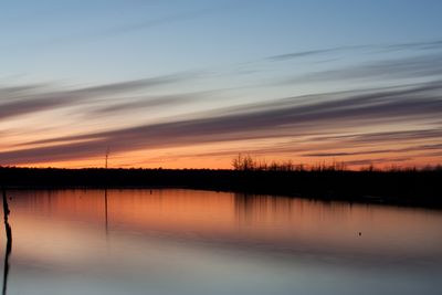
Cane Creek State Park covers over 2,000 acres of land where a large lake sits alongside a natural creek surrounded by forested hills. The terrain alternates between gentle slopes and steeper sections, creating a varied landscape.
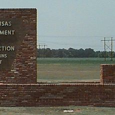
The park was established in 1992 following a plan developed years earlier between a federal department and Arkansas environmental officials. This partnership made it possible to protect and develop the land as a public natural space.
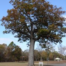
The park offers guided programs where visitors can observe local animals and plants in their natural setting. These activities show how nature changes with the seasons in this part of Arkansas.
The park has trails for walking, boat rentals, and picnic areas that are open to all visitors. Plan to spend several hours exploring, and bring clothes suited to the season since weather and ground conditions vary throughout the year.
The park sits where two different landscape regions meet, bringing together uncommon geological formations and soil types. This geographical mix makes the natural experience here particularly varied and interesting.
The community of curious travelers
AroundUs brings together thousands of curated places, local tips, and hidden gems, enriched daily by 60,000 contributors worldwide.