Enable Location

We need your location to show you interesting places around you

Discover nearby places

Find interesting locations and hidden gems around you

Precise directions

Get accurate directions and distances to places

Your location is never shared with other users. It's only used when you tap the location button.

Attala County

Log in to your account

Start exploring — it's free

Trusted by 62,431 travelers worldwide

Continue with Google
Continue with Apple
or

We will send you a code to connect

By continuing, you accept our Terms and Conditions and our Privacy Policy

Check your inbox

We've sent a pincode in your inbox. Please enter the code below.

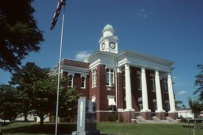
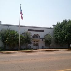
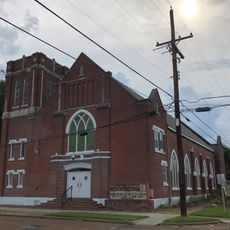
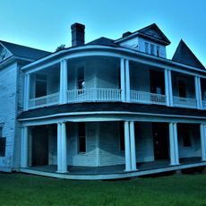
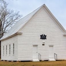
Attala County, Administrative division in central Mississippi, United States.

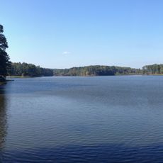
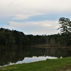
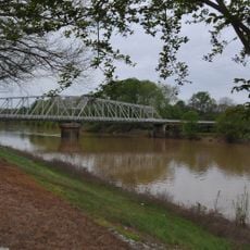
Attala County is an administrative division in central Mississippi spanning forested land and open areas. The Big Black River forms its western boundary and shapes the natural landscape of the region.

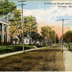
The county received its name from Atala, a fictional character from an early 19th-century French novel. This literary naming choice reflects cultural influences that settlers brought during early American expansion.

The racial composition of Attala County reflects the diversity of Mississippi with a population mix of 52.6% White and 42.72% African American residents.

The Natchez Trace Parkway and several state highways connect different parts of the county. Visitors can drive through the area using these established routes to reach smaller communities throughout the region.

The population peaked at 30,227 residents in 1940, demonstrating significant demographic changes throughout the twentieth century in this rural region.

The community of curious travelers

AroundUs brings together thousands of curated places, local tips, and hidden gems, enriched daily by 60,000 contributors worldwide.

Start exploring
GPS coordinates
33.07779,-89.56807
Latest update
December 7, 2025 20:24
Around this place
Ross Barnett Reservoir
United States of America

Ross Barnett Reservoir

80.2 km
Tombigbee National Forest
United States of America

Tombigbee National Forest

59.6 km
Holmes County State Park
United States of America

Holmes County State Park

32.9 km
Legion State Park
United States of America

Legion State Park

49.5 km
Afro-American Sons and Daughters Hospital
United States of America

Afro-American Sons and Daughters Hospital

81.6 km
Rainwater Observatory and Planetarium
United States of America

Rainwater Observatory and Planetarium

28.9 km
Cotesworth
United States of America

Cotesworth

60.2 km
Old First Presbyterian Church
United States of America

Old First Presbyterian Church

2.8 km
Acona Church, Cemetery, and School
United States of America

Acona Church, Cemetery, and School

47 km
Ricks Memorial Library
United States of America

Ricks Memorial Library

82.8 km
Immanuel Episcopal Church
United States of America

Immanuel Episcopal Church

47.6 km
Odd Fellows and Confederate Cemetery
United States of America

Odd Fellows and Confederate Cemetery

80.8 km
First Methodist Church of Greenwood
United States of America

First Methodist Church of Greenwood

75.5 km
Grenada Masonic Temple
United States of America

Grenada Masonic Temple

81.4 km
Foster-Fair House
United States of America

Foster-Fair House

48.3 km
Downtown Philadelphia Historic District
United States of America

Downtown Philadelphia Historic District

54.7 km
Benjamin Franklin Smyth House
United States of America

Benjamin Franklin Smyth House

46.2 km
Old United States Post Office
United States of America

Old United States Post Office

54.9 km
Southworth House
United States of America

Southworth House

75 km
Wesley Memorial Methodist Episcopal
United States of America

Wesley Memorial Methodist Episcopal

74.9 km
Augustus J. Oakes House
United States of America

Augustus J. Oakes House

83.2 km
Baptist Church of Christ at Sardis
United States of America

Baptist Church of Christ at Sardis

66.7 km
Strand Theatre
United States of America

Strand Theatre

48.1 km
Keesler Bridge
United States of America

Keesler Bridge

75.7 km
Margin Street Historic District
United States of America

Margin Street Historic District

81.5 km
Downtown Grenada Historic District
United States of America

Downtown Grenada Historic District

81.6 km
Wesley Methodist Church Historic District
United States of America

Wesley Methodist Church Historic District

74.8 km
Booker T. Washington High School
United States of America

Booker T. Washington High School

53.6 km
Show the full map
« Attala County - Administrative division in central Mississippi, United States » is provided by Around Us (aroundus.com). Images and texts are derived from Wikimedia project under a Creative Commons license. You are allowed to copy, distribute, and modify copies of this page, under the conditions set by the license, as long as this note is clearly visible.

Discover hidden gems everywhere you go!

From secret cafés to breathtaking viewpoints, skip the crowded tourist spots and find places that match your style. Our app makes it easy with voice search, smart filtering, route optimization, and insider tips from travelers worldwide. Download now for the complete mobile experience.

Around Us App Screenshot

A unique approach to discovering new places

Le Figaro

All the places worth exploring

France Info

A tailor-made excursion in just a few clicks

20 Minutes

Around Us
Travel Guide & Maps
Download

Send to your phone

QR Code
1

Open the camera app on your mobile.

2

Point at the QR code with your camera. A notification will appear.

3

Tap the notification to open the link.