Chest opened
+${chestReward.xp} XP
Explorer
NOUVEAU ×${chestReward.collectible.quantity}
tapez pour fermer
Chest locked

Open chests in the app

Around Us is built for your phone — chests unlock when you walk, explore and capture nearby places.

Enable Location

We need your location to show you interesting places around you

Discover nearby places

Find interesting locations and hidden gems around you

Precise directions

Get accurate directions and distances to places

Your location is never shared with other users. It's only used when you tap the location button.

Boaz

Log in to your account

Start exploring — it's free

Trusted by 72,876 travelers worldwide

Continue with Google
Continue with Apple
or

We will send you a code to connect

By continuing, you accept our Terms and Conditions and our Privacy Policy

Check your inbox

We've sent a pincode in your inbox. Please enter the code below.

Discussion Reviews 1 Photos
16.1k Popularity

Boaz, Administrative division in Alabama, United States.

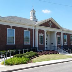
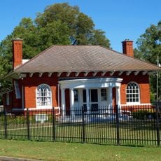
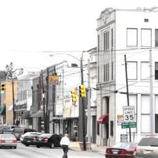
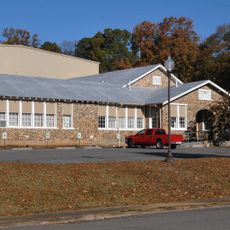
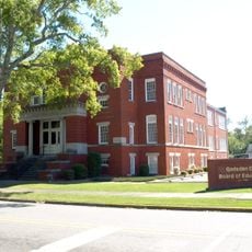
Boaz is a city in northern Alabama that provides essential services to residents and businesses through its municipal departments. The City Hall handles building permits, business licenses, and various administrative functions for the community.

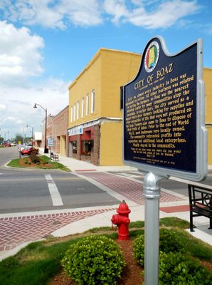
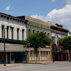
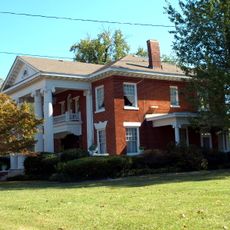
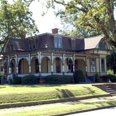
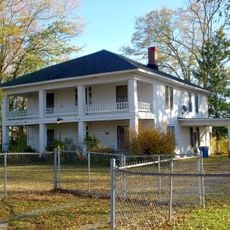
Boaz formed in the 19th century when farming activity and population growth led settlers to northern Alabama and established the town. The city developed from these early agricultural roots and community needs.

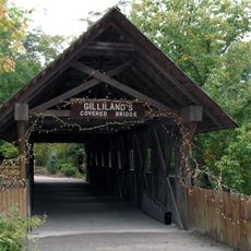
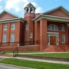
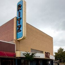
The town keeps Southern customs alive through regular local celebrations and county fairs where neighbors gather and share their lives together.

Visitors can find information and services at City Hall, where staff can answer questions and provide forms or guidance. It helps to bring relevant documents and check office hours before visiting.

The town uses a geographic information system to track and display details about its area, helping residents find data about their community. This kind of technology is uncommon in smaller towns and shows the local focus on serving citizens well.

The community of curious travelers

AroundUs brings together thousands of curated places, local tips, and hidden gems, enriched daily by 60,000 contributors worldwide.

Start exploring
GPS coordinates
34.19833,-86.16494
Latest update
December 7, 2025 19:28
Around this place
Noccalula Falls Park
United States of America

Noccalula Falls Park

21.9 km
Snead State Community College
United States of America

Snead State Community College

440 m
Lake Guntersville State Park
United States of America

Lake Guntersville State Park

21.4 km
Buck's Pocket State Park
United States of America

Buck's Pocket State Park

32.5 km
Gilliland-Reese Covered Bridge
United States of America

Gilliland-Reese Covered Bridge

21.9 km
High Falls Park
United States of America

High Falls Park

24.3 km
Gadsden Downtown Historic District
United States of America

Gadsden Downtown Historic District

25.3 km
Robert G. Griffith, Sr. House
United States of America

Robert G. Griffith, Sr. House

28.8 km
Mort Glosser Amphitheater
United States of America

Mort Glosser Amphitheater

26 km
Julia Street Memorial United Methodist Church
United States of America

Julia Street Memorial United Methodist Church

392 m
Howard Gardner Nichols Memorial Library
United States of America

Howard Gardner Nichols Memorial Library

22.2 km
Colonel O.R. Hood House
United States of America

Colonel O.R. Hood House

24.8 km
Forrest Cemetery Chapel and Comfort Station
United States of America

Forrest Cemetery Chapel and Comfort Station

24.4 km
Charles Gunn House
United States of America

Charles Gunn House

24.7 km
Saratoga Victory Mill
United States of America

Saratoga Victory Mill

20.6 km
Edward Fenns Whitman House
United States of America

Edward Fenns Whitman House

344 m
Thomas A. Snellgrove Homestead
United States of America

Thomas A. Snellgrove Homestead

519 m
Turrentine Historic District
United States of America

Turrentine Historic District

25.3 km
Downtown Guntersville Historic District
United States of America

Downtown Guntersville Historic District

21.4 km
Old Rock School
United States of America

Old Rock School

21.2 km
Henry-Jordan House
United States of America

Henry-Jordan House

21.5 km
Attalla Downtown Historic District
United States of America

Attalla Downtown Historic District

20.8 km
Albert G. Henry, Jr., House
United States of America

Albert G. Henry, Jr., House

21.5 km
Eleventh Street School
United States of America

Eleventh Street School

24.6 km
Mary G. Hardin Center for Cultural Arts
United States of America

Mary G. Hardin Center for Cultural Arts

25.2 km
Pitman Theatre
United States of America

Pitman Theatre

25.1 km
Ritz Theatre
United States of America

Ritz Theatre

22.5 km
Mabrey's Rock of Ages
United States of America

Mabrey's Rock of Ages

21.4 km
Show the full map
Reviews
Share your experience

No review yet

Discussions
Start a discussion...

No discussion yet

« Boaz - Administrative division in Alabama, United States » is provided by Around Us (aroundus.com). Images and texts are derived from Wikimedia project under a Creative Commons license. You are allowed to copy, distribute, and modify copies of this page, under the conditions set by the license, as long as this note is clearly visible.

Discover hidden gems everywhere you go!

From secret cafés to breathtaking viewpoints, skip the crowded tourist spots and find places that match your style. Our app makes it easy with voice search, smart filtering, route optimization, and insider tips from travelers worldwide. Download now for the complete mobile experience.

Around Us App Screenshot

A unique approach to discovering new places

Le Figaro

All the places worth exploring

France Info

A tailor-made excursion in just a few clicks

20 Minutes

Around Us
Travel Guide & Maps
Download

Send to your phone

QR Code
1

Open the camera app on your mobile.

2

Point at the QR code with your camera. A notification will appear.

3

Tap the notification to open the link.