Desembarco del Granma National Park, Nature reserve and national park in Granma Province, Cuba
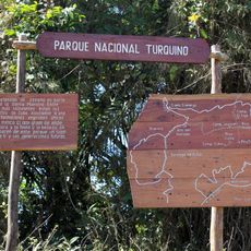
Desembarco del Granma National Park protects the western end of the Sierra Maestra in Niquero and Pilón municipalities, Granma Province. Its limestone marine terraces run from 180 m below sea level to 360 m above, forming up to 20 emerged levels, the highest at Punta Escalereta. The park covers 32,576 ha, of which 26,180 ha are land and 6,396 ha sea.
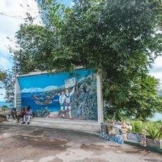
In December 1956, a group of revolutionaries came ashore here, marking the start of the armed campaign that would lead to the Cuban Revolution. The park takes its name from the vessel that carried them to this coast.
Christopher Columbus reached this coast in May 1494 on his second voyage and recorded a populous district he called the Indian province of Macaca. Numerous archaeological sites in the park document those settlements. From the second half of the 16th century the area's remoteness and dense forests made it a refuge for corsairs and pirates, among them John Hawkins and Henry Morgan.
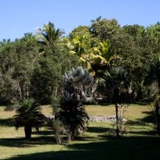
The park has no communities inside it apart from Cabo Cruz and Alegría de Pío, and the sources note the inaccessibility of its terraces, so plan access through Niquero or Pilón. The warm, dry climate averages 26°C with only 300 to 1200 mm of rain a year, making heat the main constraint. The Cabo Cruz lighthouse, opened on 5 May 1871, is a fixed orientation point on the southern coast.
The coastline within the park contains one of the best preserved sequences of marine terraces in the Caribbean, formed by the slow lifting of the land over millions of years. These stepped formations are visible from the shore and give the cliffs a layered, almost architectural appearance.
The community of curious travelers
AroundUs brings together thousands of curated places, local tips, and hidden gems, enriched daily by 94,761 contributors worldwide.