Chaclacayo District, Administrative district in Lima Province, Peru
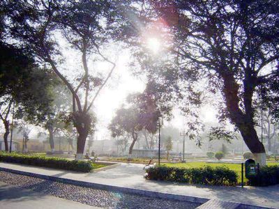
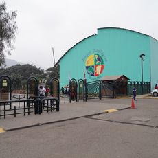
Chaclacayo is an administrative district in Lima Province located east of the city in a valley shaped by the Rimac River. The area encompasses several neighborhoods and a central park with municipal facilities, shops, and gathering spaces that serve the local community.
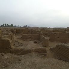
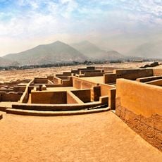
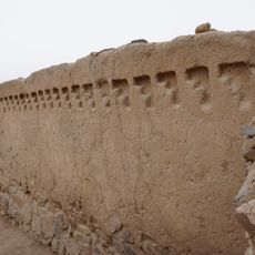
The district was established on April 24, 1940, developing from nine colonial estates that produced cotton and fruit during Spanish rule. These agricultural origins remain part of the area's identity today.
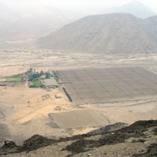
The name comes from Aymara words meaning "at the foot of carrizo plants," a reference to the reed vegetation that grows naturally along the Rimac River that runs through the area.
The central area is easy to navigate and offers most daily needs like shops, restaurants, and libraries in one location. Visitors can find what they need without traveling far, as the main facilities are clustered around the park.
The district is home to distinctive residential neighborhoods like La Floresta and Santa Rosa, as well as members-only clubs such as El Cuadro and Los Cóndores. This mix of neighborhoods and recreational facilities gives the area its particular character.
The community of curious travelers
AroundUs brings together thousands of curated places, local tips, and hidden gems, enriched daily by 60,000 contributors worldwide.