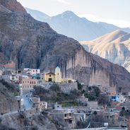
Iruya, Mountain village in Salta Province, Argentina
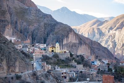
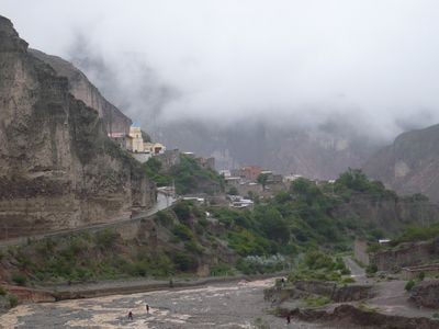
Iruya is a mountain village in Salta Province situated at 2,780 meters elevation on steep slopes shaped by the Iruya River valley. The settlement's layout follows the terrain closely, with narrow streets winding upward and buildings stacked along the inclines in response to the dramatic landscape.
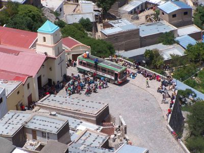
The settlement was founded in 1753 and grew around the Church of Virgin of Rosario, built on lands that had been home to the Ocloyas people under Inca rule. Spanish colonization transformed the area into a new kind of community with its own organizational structure and religious focus.
The October celebration for the Virgin of Rosario brings the community together through the traditional Cachis de Iruya dance, a practice that shapes the social calendar and connects residents to their roots. The dance reflects how people here mark their time and share their identity through movement and ritual.
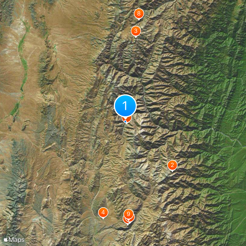
Access to the village requires traveling on an unpaved road for about 50 kilometers through Jujuy Province, connecting from National Route 9 and Provincial Routes 13 and 133. The mountain setting and remote location mean travel times are longer than expected, and weather conditions can affect road conditions significantly.
The houses here feature solid outer walls with few openings to the street, while all living spaces are arranged around sheltered interior courtyards. This building pattern emerged from the need for protection against harsh mountain weather and the village's historical isolation in the high peaks.
The community of curious travelers
AroundUs brings together thousands of curated places, local tips, and hidden gems, enriched daily by 60,000 contributors worldwide.