
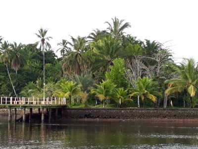
Baía de Camamu Environmental Protection Area, Protected area in Bahia, Brazil
Location: Bahia
Inception: 2002
GPS coordinates: -13.92820,-39.03072
Latest update: March 4, 2025 14:47
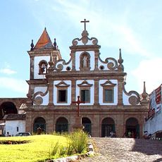
Church and Convent of Saint Antony
49.2 km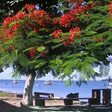
Cacha pregos
92.9 km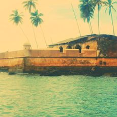
Fortified System of São Paulo Hill
62.9 km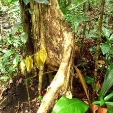
Serra do Conduru State Park
57.1 km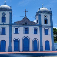
Igreja de Nossa Senhora do Amparo
62.7 km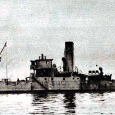
Arará
70.2 km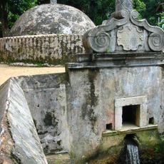
Fonte Grande of Morro de São Paulo
62.3 km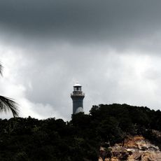
Morro de São Paulo Lighthouse
62.7 km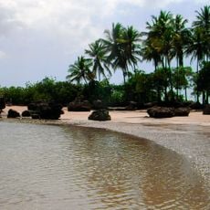
Segunda Praia
60.6 km
Lagoa Encantada e Rio Almada Environmental Protection Area
79.7 km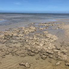
Caminhos Ecológicos da Boa Esperança Environmental Protection Area
45.9 km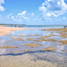
Praia de Taipus de Fora
10.8 km
Parish Church of Our Lady of Help
91.8 km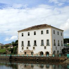
Town Hall and Prison of Jaguaripe
92 km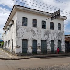
Casa onde nasceu o Conselheiro Zacarias Góes de Vasconcelos
61.9 km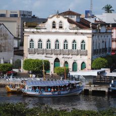
Casa da Câmara dos Vereadores
62.2 km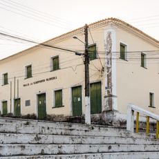
Casa do Ouvidor (Jaguaripe)
91.9 km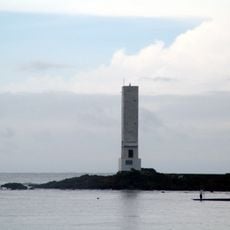
Contas Lighthouse
38.6 km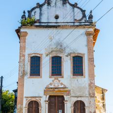
Igreja de Nossa Senhora do Rosário (Jaguaripe)
91.9 km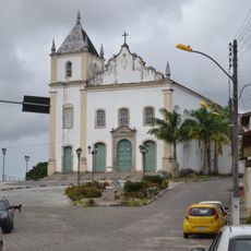
Igreja Matriz de Nossa Senhora do Rosário
49 km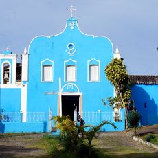
Igreja Matriz do Divino Espírito Santo de Boipeba
40.1 km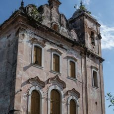
Igreja Matriz de Nossa Senhora Santana
94.6 km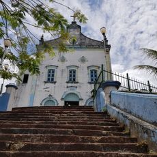
Parish Church of the Divine Holy Spirit
62.3 km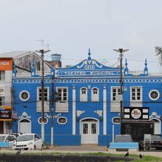
Teatro Municipal de Valença
61.9 km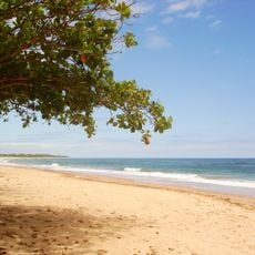
Algodões Beach
17.5 km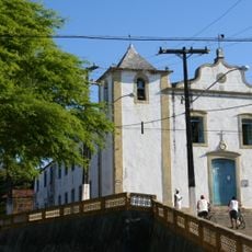
Igreja Matriz de São Miguel
39.1 km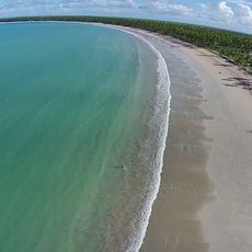
Praia de Garapuá
51.1 km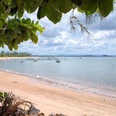
Praia de Barra Grande
9.9 kmReviews
Visited this place? Tap the stars to rate it and share your experience / photos with the community! Try now! You can cancel it anytime.
Discover hidden gems everywhere you go!
From secret cafés to breathtaking viewpoints, skip the crowded tourist spots and find places that match your style. Our app makes it easy with voice search, smart filtering, route optimization, and insider tips from travelers worldwide. Download now for the complete mobile experience.

A unique approach to discovering new places❞
— Le Figaro
All the places worth exploring❞
— France Info
A tailor-made excursion in just a few clicks❞
— 20 Minutes