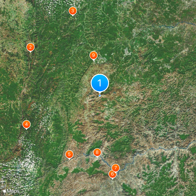
Salinas, Administrative division in northwestern Minas Gerais, Brazil.
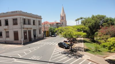
Salinas is a municipality in northwestern Minas Gerais that covers a region of mixed agricultural lands and scattered settlements across its area. The territory is divided into district boundaries that organize local governance and daily community activities.
The municipality was founded in 1831 during a period of mineral exploration in the region. It developed into an administrative center that linked trade routes across Minas Gerais.
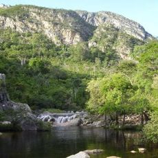
The local population maintains strong agricultural traditions through festivals celebrating coffee cultivation, cotton production, and regional farming practices throughout the year. These celebrations are central to community life and reflect how farming remains woven into daily routines and local identity.
Visitors can access local administrative offices to learn about boundary lines, governance structures, and public services available in the area. Digital resources allow exploration of administrative divisions online before or during a visit.
The municipality operates with its own executive, legislative, and judicial branches at the local level within the Brazilian federal system. This three-branch structure allows for decision-making to happen at the municipal level rather than being entirely controlled from above.
The community of curious travelers
AroundUs brings together thousands of curated places, local tips, and hidden gems, enriched daily by 60,000 contributors worldwide.