Enable Location

We need your location to show you interesting places around you

Discover nearby places

Find interesting locations and hidden gems around you

Precise directions

Get accurate directions and distances to places

Your location is never shared with other users. It's only used when you tap the location button.

Paragominas

Log in to your account

Start exploring — it's free

Trusted by 61,997 travelers worldwide

Continue with Google
Continue with Apple
or

We will send you a code to connect

By continuing, you accept our Terms and Conditions and our Privacy Policy

Check your inbox

We've sent a pincode in your inbox. Please enter the code below.

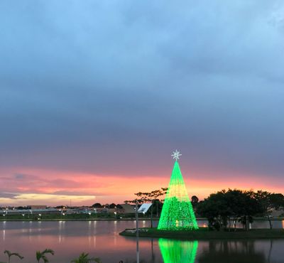
Paragominas, Administrative division in Pará, Brazil.

Paragominas is a municipality in northern Brazil that combines agricultural areas with natural vegetation and water bodies across a broad landscape. The town serves as a local center where different districts connect through road networks that support daily movement and commerce.

The settlement began as a small agricultural community and grew into an organized municipality over time. This transformation brought significant changes to how the land was used and how the local economy developed.

The community blends indigenous traditions with Portuguese colonial influences, which you can experience through regional music and local food that reflect generations of settlement.

Access to the area depends on road networks that link major cities in Pará, with better travel conditions during the dry season from April to September. Planning your visit during these months makes getting around simpler.

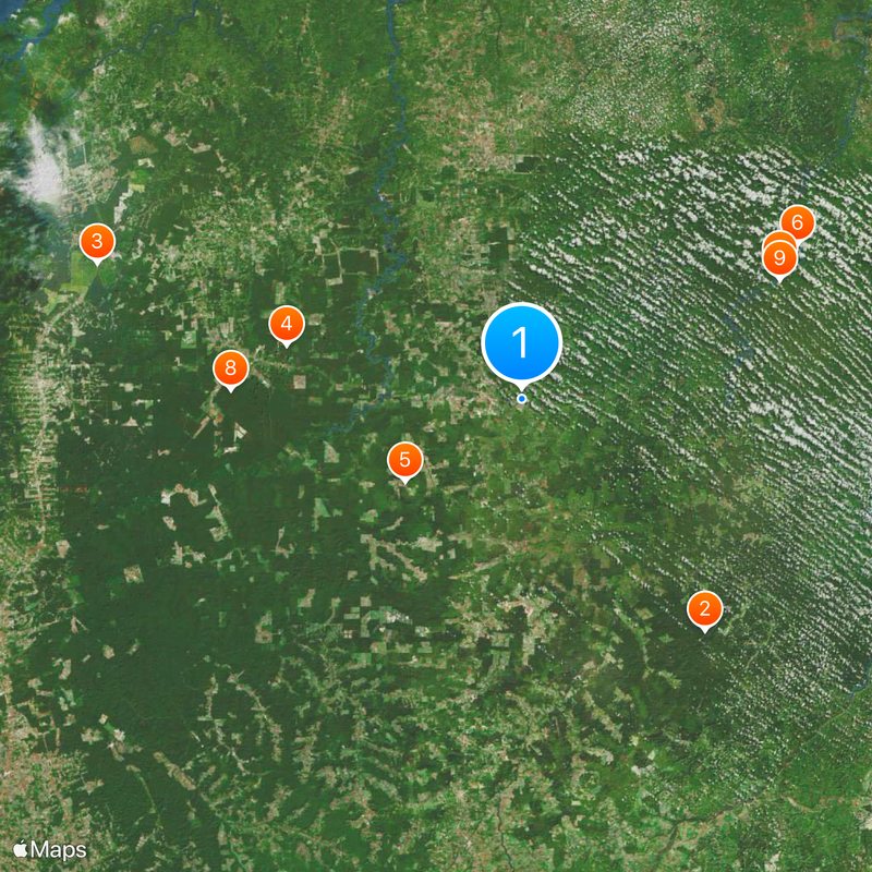
The municipality made real progress in reducing deforestation through community-led environmental efforts between 2004 and 2015. This showed how local cooperation can bring measurable change to the landscape over time.

The community of curious travelers

AroundUs brings together thousands of curated places, local tips, and hidden gems, enriched daily by 60,000 contributors worldwide.

Start exploring
Location
Elevation above the sea
98 m
Shares border with
Ipixuna do Pará, Centro Novo do Maranhão, Dom Eliseu, Goianésia do Pará, Nova Esperança do Piriá, Ulianópolis
GPS coordinates
-2.99500,-47.35278
Latest update
December 17, 2025 09:52
« Paragominas - Administrative division in Pará, Brazil » is provided by Around Us (aroundus.com). Images and texts are derived from Wikimedia project under a Creative Commons license. You are allowed to copy, distribute, and modify copies of this page, under the conditions set by the license, as long as this note is clearly visible.

Discover hidden gems everywhere you go!

From secret cafés to breathtaking viewpoints, skip the crowded tourist spots and find places that match your style. Our app makes it easy with voice search, smart filtering, route optimization, and insider tips from travelers worldwide. Download now for the complete mobile experience.

Around Us App Screenshot

A unique approach to discovering new places

Le Figaro

All the places worth exploring

France Info

A tailor-made excursion in just a few clicks

20 Minutes

Around Us
Travel Guide & Maps
Download

Send to your phone

QR Code
1

Open the camera app on your mobile.

2

Point at the QR code with your camera. A notification will appear.

3

Tap the notification to open the link.