
Chutes Mougounda, Wasserfall in der Republik Kongo
Location: Niari Department
Elevation above the sea: 220 m
GPS coordinates: -2.77778,12.09306
Latest update: June 7, 2025 13:29
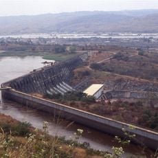
Inga Dams
348.9 km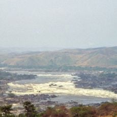
Inga Falls
347.5 km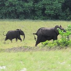
Loango National Park
284.3 km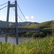
Matadi Bridge
370.1 km
Lopé National Park
258.1 km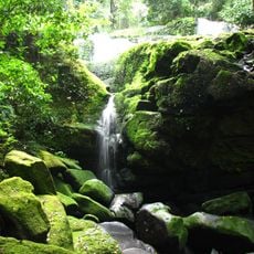
Ivindo National Park
324.6 km
Yellala Falls
365.6 km
Mayumba National Park
165.4 km
Tchimpounga Sanctuary
195.2 km
Conkouati-Douli National Park
143.3 km
Batéké Plateau National Park
224.1 km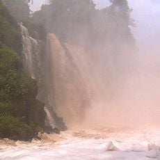
Kongou Falls
346 km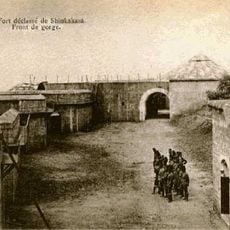
Fort de Shinkakasa
358.3 km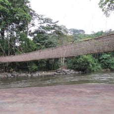
Pont de lianes de Poubara
197.1 km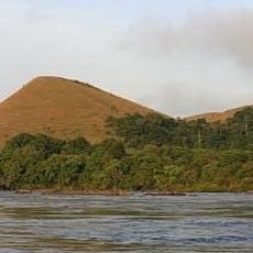
Ecosystem and Relict Cultural Landscape of Lopé-Okanda
262 km
Maiombe-Nationalpark
219.1 km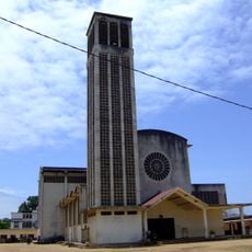
St. Peter the Apostle Cathedral, Pointe-Noire
226.7 km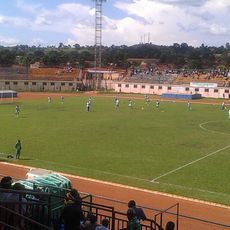
Stade Paul Sayal Moukila
172.2 km
Gorges de Diosso
206.9 km
Église Notre-Dame de l'Assomption de Pointe-Noire
226.5 km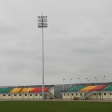
Stade Omnisports de Kinkala
344.5 km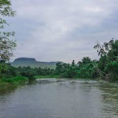
Léfini Faunal Reserve
362.5 km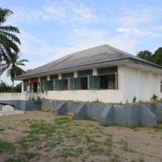
Museum of Republic of Congo
207.4 km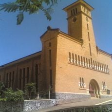
Our Lady of the Assumption Cathedral, Boma
358.7 km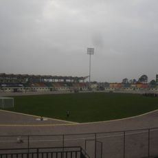
Stade de Djambala
298.5 km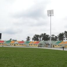
Stade de Sibiti
169.7 km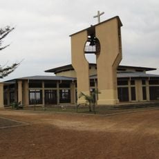
Cathedral of Saint John the Apostle
154.2 km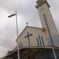
Church of Our Lady Queen of the World
309.7 kmReviews
Visited this place? Tap the stars to rate it and share your experience / photos with the community! Try now! You can cancel it anytime.
Discover hidden gems everywhere you go!
From secret cafés to breathtaking viewpoints, skip the crowded tourist spots and find places that match your style. Our app makes it easy with voice search, smart filtering, route optimization, and insider tips from travelers worldwide. Download now for the complete mobile experience.

A unique approach to discovering new places❞
— Le Figaro
All the places worth exploring❞
— France Info
A tailor-made excursion in just a few clicks❞
— 20 Minutes