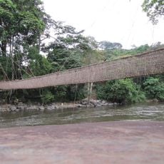
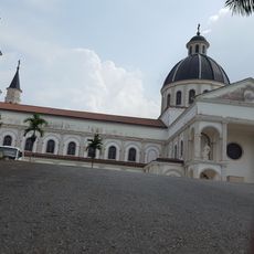
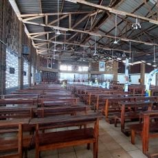
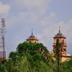
Ecosystem and Relict Cultural Landscape of Lopé-Okanda, UNESCO World Heritage Site in Ogooué-Ivindo Province, Gabon.
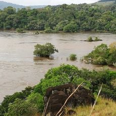
Lopé-Okanda is a 491,291-hectare national park about 300 km southeast of Libreville, where rainforest and savannah meet. The Ogooué River borders it to the north, the Offoué and Mingoué to the east and west, and the Chaillu Massif to the south. Its hills and caves hold more than 1,800 rock engravings.
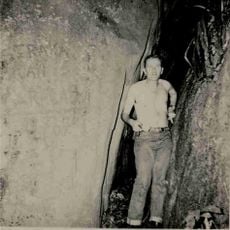
Excavations since 1987 in the Ogooué valley have uncovered stone tools and more than 1,800 rock engravings documenting 400,000 years of human presence. The valley served as a corridor through the equatorial rainforest, and the record spans the Stone Age, the Iron Age and the Bantu migration towards central and southern Africa. The area appears to have been largely abandoned between about 800 and 1200 AD.
The Ogooué valley served as a corridor through the equatorial rainforest, and the Bantu migration used it to reach central and southern Africa. Excavations since 1987 have recorded more than 1,800 rock engravings, among them the oldest Stone Age tools in Africa. Visitors can see these carvings on hilltops and in caves.
The site lies about 300 km southeast of Libreville, spanning the Ogooué-Ivindo and Ogooué-Lolo provinces, bounded by the Ogooué, Offoué and Mingoué rivers and the Chaillu Massif. Route Nationale 3 crosses the Ogooué valley and a railway has run through it since 1976. The valley population is estimated at around 2,000 people, so arrange guiding and supplies in advance.
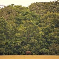
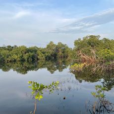
This region displays how forest and grassland have influenced each other over thousands of years in visible ways. Such a clear natural boundary between these two ecosystems is uncommon and valuable for understanding environmental change.
The community of curious travelers
AroundUs brings together thousands of curated places, local tips, and hidden gems, enriched daily by 94,405 contributors worldwide.