Belitung Island, Tropical island in Bangka Belitung Islands, Indonesia
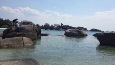
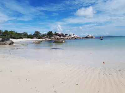
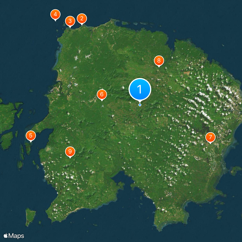
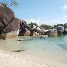
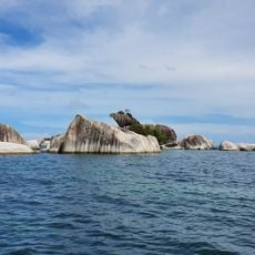
Located in the Bangka Belitung Islands, this landmass features long stretches of white sand beaches, scattered granite boulders along the shore, and thick vegetation covering the interior terrain. The landscape includes Mount Tajam as a notable peak and several bays that indent the coastline.
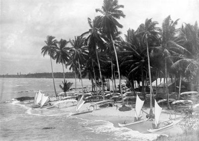
During the early 1800s, the island changed hands between European colonial powers, starting with British control before Dutch administration took over through a formal treaty. This transition was part of broader colonial reorganization across Southeast Asia.
Multiple communities from different regions live here, bringing their own traditions and ways of life that shape daily activities and local celebrations. You'll notice how these different groups have influenced the character of villages and how people spend their time together.
An international airport connects the island to several Indonesian cities and Singapore with regular service, making it accessible by air. Local transport options help you move around once you arrive, so planning ahead for ground travel is useful.
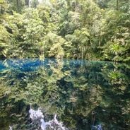
The island contains multiple geological sites recognized as UNESCO geoparks, displaying rock formations and natural features that reveal millions of years of geological history. Visitors can walk through landscapes that show how the earth changed over deep time.
Location: Bangka Belitung Islands
Elevation above the sea: 34 m
GPS coordinates: -2.83333,107.91667
Latest update: December 12, 2025 16:03
Southeast Asia extends from the volcanic craters of Sumatra to the limestone formations of northern Vietnam, combining geological features with centuries-old cultural sites. The region includes Lake Toba, one of the world's deepest crater lakes, the Banaue rice terraces that have been cultivated for...
Tanjung Tinggi
38.6 km
Tanjung Kelayang Beach
40.7 km
Lengkuas Island Lighthouse
46.6 km
Pulau Leebong
44.9 km
Museum Badau
15 km
Museum Kata Andrea Hirata
31.3 km
Museum Buding
16.7 km
Museum Pemerintah Kabupaten Belitung
34 km
Mangrove Track
35 km
Open pit mine Belitung
22.4 km
Kaolin Lake
28.2 km
Kaolin lake
28.2 km
Pantai Penyabong
54.6 km
Batu Baginda
53.6 km
Replica of SD Muhammadiyah Laskar Pelangi
30 km
Sunset Boulevard
35.1 km
Danau Biru
32.7 km
Open pit
22.5 km
Danau Kaolin Belitung
28.4 km
Replica of Laskar Pelangi school
29.9 km
Traditional House Belitung
31 km
Pulau Langkuas
48.5 km
Pulau Kelayang
41.8 km
Pantai Laskar Pelangi
38.7 km
Pantai Lengkuas
46.5 km
Tanjung Tinggi Beach
38.6 km
Gunung lumut
25.9 km
Kampoeng Ahok
31.6 kmVisited this place? Tap the stars to rate it and share your experience / photos with the community! Try now! You can cancel it anytime.
Discover hidden gems everywhere you go!
From secret cafés to breathtaking viewpoints, skip the crowded tourist spots and find places that match your style. Our app makes it easy with voice search, smart filtering, route optimization, and insider tips from travelers worldwide. Download now for the complete mobile experience.
A unique approach to discovering new places❞
— Le Figaro
All the places worth exploring❞
— France Info
A tailor-made excursion in just a few clicks❞
— 20 Minutes