
Queanbeyan East, suburb of Queanbeyan, New South Wales, Australia
Location: Queanbeyan-Palerang Regional Council
GPS coordinates: -35.34555,149.24651
Latest update: April 5, 2025 02:42
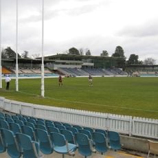
Manuka Oval
10.6 km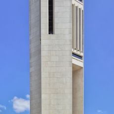
National Carillon
10.9 km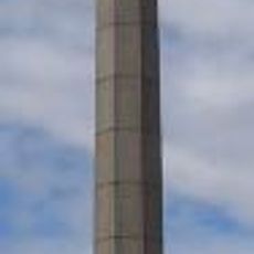
Australian–American Memorial
10.1 km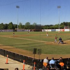
Narrabundah Ballpark
8.4 km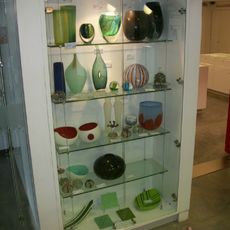
Canberra Glassworks
10.1 km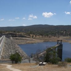
Googong Dam
7.7 km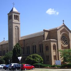
St. Christopher’s Cathedral
10.8 km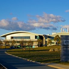
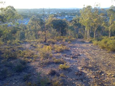
Jerrabomberra
6.2 km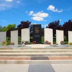
Australian Merchant Navy Memorial
10.8 km
Telopea Park
10.4 km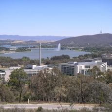
Mount Pleasant
9.6 km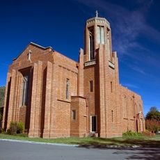
St Paul's Church, Manuka
10.4 km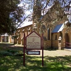
St Stephen's Presbyterian Church and Manse, Queanbeyan
1.6 km
National Police Memorial Australia
10.6 km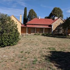
Rusten House
1.3 km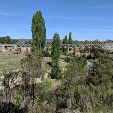
Queanbeyan railway bridges over Queanbeyan and Molonglo Rivers
1.4 km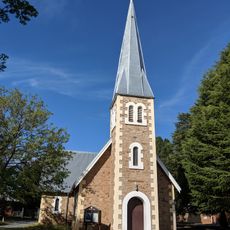
Christ Church, Queanbeyan
1.3 km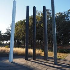
National Worker’s Memorial
10.6 km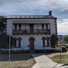
Byrnes Mill and Millhouse
1.2 km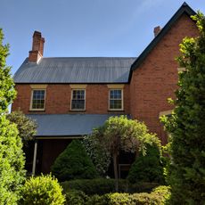
Hibernia Lodge
1.2 km
General Bridges Grave
9.3 km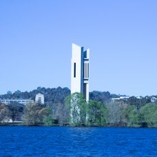
Carillon
10.9 km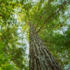
Redwood Plantation
5.2 km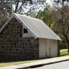
Apple Shed Asset C58
9 km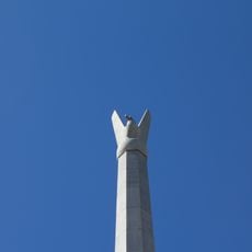
Australian American Memorial and Sir Thomas Blamey Square
10.1 km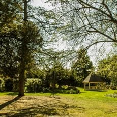
Duntroon House and Garden
9.1 km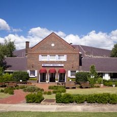
Brassey Hotel
10.8 km
Willinga Plume
6.7 kmReviews
Visited this place? Tap the stars to rate it and share your experience / photos with the community! Try now! You can cancel it anytime.
Discover hidden gems everywhere you go!
From secret cafés to breathtaking viewpoints, skip the crowded tourist spots and find places that match your style. Our app makes it easy with voice search, smart filtering, route optimization, and insider tips from travelers worldwide. Download now for the complete mobile experience.

A unique approach to discovering new places❞
— Le Figaro
All the places worth exploring❞
— France Info
A tailor-made excursion in just a few clicks❞
— 20 Minutes