Telopea Park, Public park in Barton, Australia.
Telopea Park is a long, narrow park of 0.079 km2 in Canberra, established in 1922, with many large native and introduced trees. A stormwater drain runs along its middle, crossed by several bridges. It lies between Barton and Kingston, bounded by Telopea Park West and Telopea Park East, with Manuka Oval at the southern end and Bowen Drive near Lake Burley Griffin at the northern end.
The park was established in 1922 following Walter Burley Griffin's master plan for Canberra from 1918. This creation was part of a broader vision to shape the young city through carefully planted green spaces.
The park sits on Ngunnawal Country, representing lands managed by Aboriginal people for thousands of years. This connection to the land remains a meaningful part of the place today.
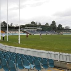
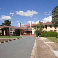
The park is a long, narrow strip between Telopea Park West and Telopea Park East, with a stormwater drain running down its middle that several bridges cross. Manuka Oval lies at the southern end across New South Wales Crescent, and Bowen Drive borders the northern end near Lake Burley Griffin. Telopea Park School stands next to the southwest end.
The name comes from the Waratah flower, New South Wales floral emblem, reflecting Griffin's intention to name parks after native plants. This choice connects the landscape to the botanical identity of broader Australia.
The community of curious travelers
AroundUs brings together thousands of curated places, local tips, and hidden gems, enriched daily by 94,410 contributors worldwide.