Canterbury Plains, Agricultural plain in Canterbury Region, New Zealand
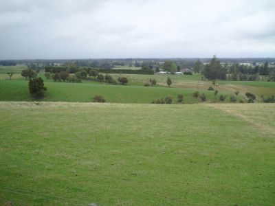
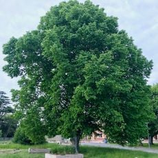
Canterbury Plains is an extensive agricultural area on the eastern coast of New Zealand's South Island, stretching across roughly 240 kilometers from north to south. It is bordered by the Southern Alps to the west and the Pacific Ocean to the east, with flat open land used mainly for sheep and cattle farming along with grain cultivation.
Settlement of these plains began in the 1850s when merino sheep were introduced, establishing the foundation for agricultural development in the region. This period shaped the area fundamentally and made it one of New Zealand's major zones for sheep farming.
The name Kā Pākihi-whakatekateka-a-Waitaha connects these plains to New Zealand's Māori heritage and shows the deep roots of indigenous culture in this landscape. Visitors can sense this connection through the land itself and the local stories that shape how people understand this region.
The region receives less than 750 millimeters of rainfall annually, so irrigation systems are necessary to support farming. Visitors should expect dry conditions and plan for open, flat terrain when exploring the area.
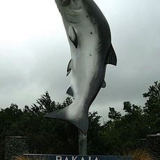
The area contains braided river systems including the Rangitata, Rakaia, and Waimakariri rivers, which flow eastward from the Southern Alps. These waterways shape the landscape and provide crucial water for farming across the plains.
The community of curious travelers
AroundUs brings together thousands of curated places, local tips, and hidden gems, enriched daily by 60,000 contributors worldwide.