Mount Wellington, Residential suburb in East Auckland, New Zealand.
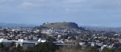
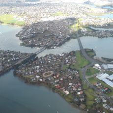
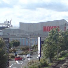
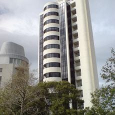
Mount Wellington is a residential suburb in East Auckland, centered around the volcanic cone Maungarei, bordered by Stonefields, Tamaki, Panmure, and Penrose. The area is now defined by Sylvia Park, New Zealand's largest shopping center, which houses over 250 stores.
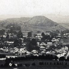
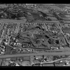
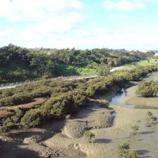
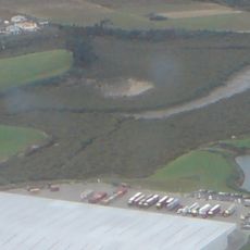
The area served as a major vegetable growing region supplying Auckland until the 1940s, when it transformed into an industrial zone. Residential development followed afterward, gradually shaping the suburb into its current form.
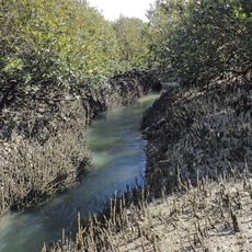
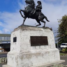
The place takes its name from the Māori word for the volcanic cone, which has served as a landmark for the community across generations. Early inhabitants practiced extensive horticulture on these lands, creating a connection to the earth that shaped local life.
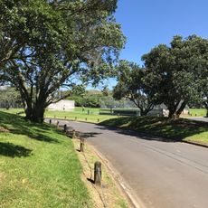
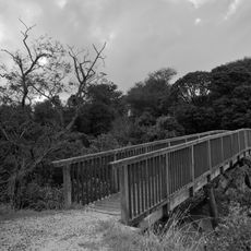
The suburb is easily accessible by public transport and offers walkable areas along with parks to explore. Visitors should allow adequate time to enjoy both the shopping amenities and the natural features of the locality.
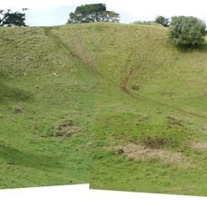
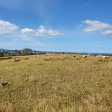
The volcanic cone Maungarei features an unusually flat, nearly circular base with a level summit and three small craters dotting its surface. This geological formation creates a distinctive landmark within the urban landscape and offers visitors a rare glimpse of volcanic structures within the city.
The community of curious travelers
AroundUs brings together thousands of curated places, local tips, and hidden gems, enriched daily by 60,000 contributors worldwide.