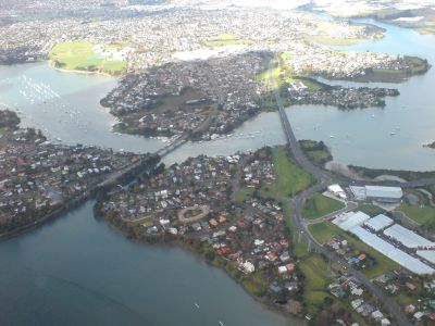
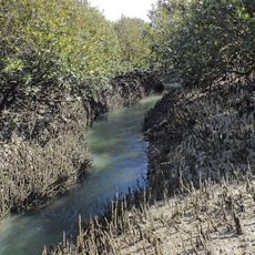
Tamaki River, Brook in Ōtara-Papatoetoe, Auckland, New Zealand.
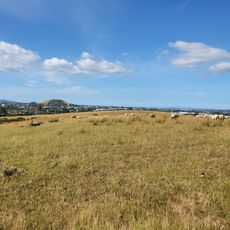
The Tamaki River flows through the Ōtara-Papatoetoe area, linking urban spaces with natural surroundings across Auckland. The waterway is fed by several tributaries, including creeks and a basin set within a volcanic crater.
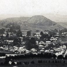
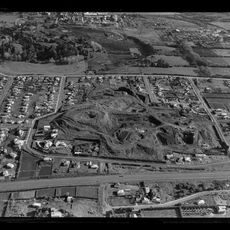
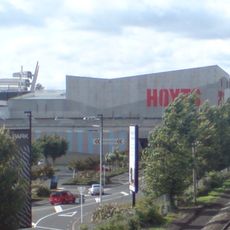
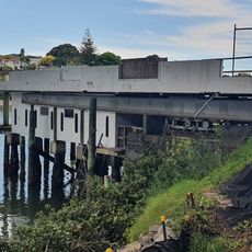
In the 1800s, the river became a key route for moving farm goods, especially cattle, into Auckland and shaped the area's growth. This role as a transport route influenced how the surrounding region developed.
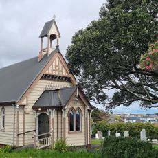
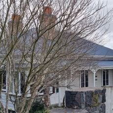
The name comes from the Māori language and reflects the river's importance to local iwi who depended on it for food and travel. Walking along the banks today, you can sense this lasting connection to the land.
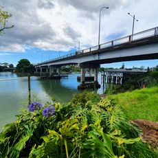
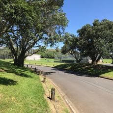
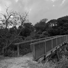
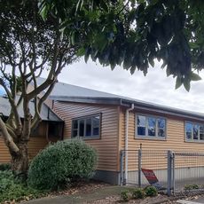
Multiple entry points allow easy access to the river with marked walking and cycling paths running along the water. The best way to explore is on foot or by bike, with different starting points suited to various route lengths.
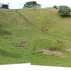
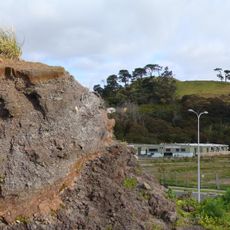
The waterway is composed of four main arms plus a basin sitting within an old volcanic crater, giving it unusual geology. This volcanic connection is not immediately obvious but becomes clear as you explore the different water areas.
The community of curious travelers
AroundUs brings together thousands of curated places, local tips, and hidden gems, enriched daily by 60,000 contributors worldwide.