
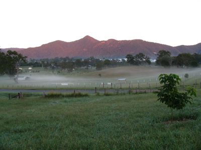
Mount Samson, locality in Queensland, Australia
Location: City of Moreton Bay
GPS coordinates: -27.29950,152.84751
Latest update: March 28, 2025 20:31
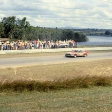
Lakeside International Raceway
14.1 km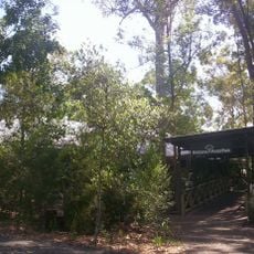
Brisbane Forest Park
17.1 km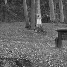
D'Aguilar National Park
7 km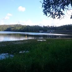
Enoggera Dam
18.2 km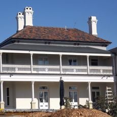
Glen Lyon, Ashgrove
20.8 km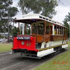
Brisbane Tramway Museum
15 km
Freshwater National Park
19.8 km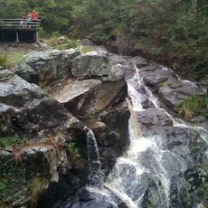
Simpson Falls
21.3 km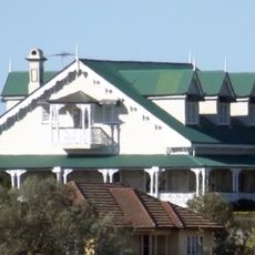
Farrington House, Alderley
20.8 km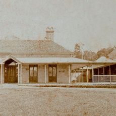
St John's Wood House, Ashgrove
20.4 km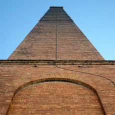
Newmarket Brickworks Chimney
21.2 km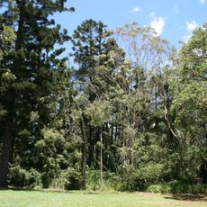
Murrumba Homestead Grounds
13.6 km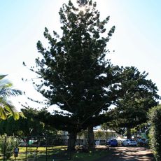
Hoop Pines, Bald Hills
15.6 km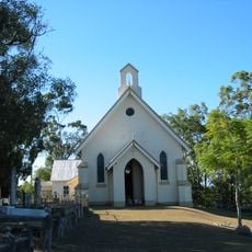
St Matthews Anglican Church
17 km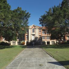
Stafford State School
21 km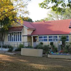
Petrie State School
12.8 km
Killarney, Enoggera
19.7 km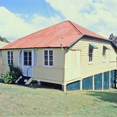
Strathearn, Alderley
20.4 km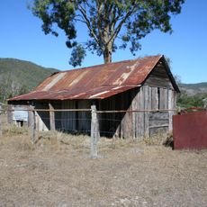
Selector's Hut, Camp Mountain
10.7 km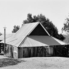
Slab Hut Farm
14.5 km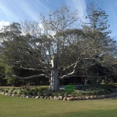
Sweeney's Reserve
13.1 km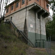
North Pine Pumping Station
11.2 km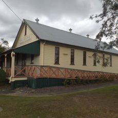
Pine Rivers Shire Hall
14.1 km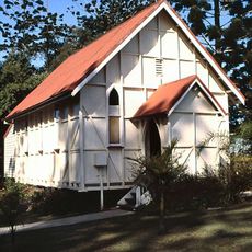
North Pine Presbyterian Church
11.3 km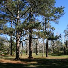
Acclimatisation Society gardens, Lawnton
12.5 km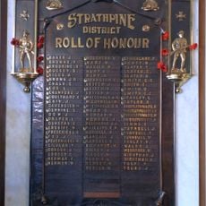
Strathpine Honour Board
14.9 km
Brisbane Tramway Museum
15 km
Samford District Historical Museum
8.6 kmReviews
Visited this place? Tap the stars to rate it and share your experience / photos with the community! Try now! You can cancel it anytime.
Discover hidden gems everywhere you go!
From secret cafés to breathtaking viewpoints, skip the crowded tourist spots and find places that match your style. Our app makes it easy with voice search, smart filtering, route optimization, and insider tips from travelers worldwide. Download now for the complete mobile experience.

A unique approach to discovering new places❞
— Le Figaro
All the places worth exploring❞
— France Info
A tailor-made excursion in just a few clicks❞
— 20 Minutes