
Boyne Island, town in Queensland, Australia
Location: Gladstone Regional
GPS coordinates: -23.92491,151.32469
Latest update: April 28, 2025 17:05
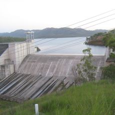
Lake Awoonga
16.8 km
Curtis Island National Park
45.2 km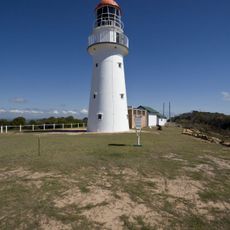
Bustard Head Light
46 km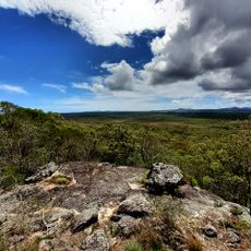
Eurimbula National Park
51.4 km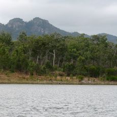
Castle Tower National Park
27.3 km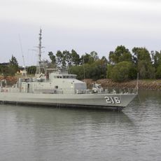
HMAS Gladstone
12.6 km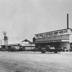
Port Curtis Co-operative Dairy Association Ltd Factory
10.3 km
Rundle Range National Park
46.7 km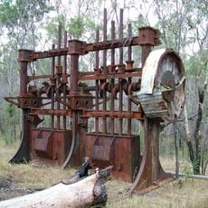
Norton Goldfield
44.2 km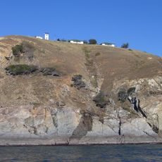
Cape Capricorn Light
49.6 km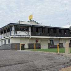
Port Curtis Sailing Club Clubhouse
12.2 km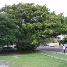
Fig Tree, Gladstone
11.6 km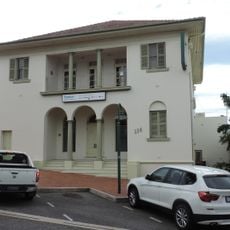
Commonwealth Bank Building, Gladstone
11.5 km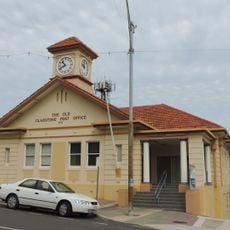
Gladstone Post Office
11.8 km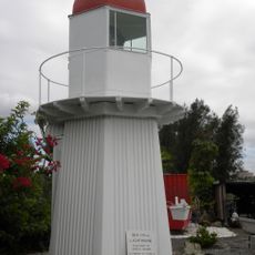
Sea Hill Light
59.7 km
Gladstone Central State School, Block B
11.5 km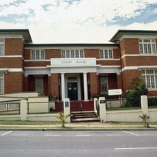
Gladstone Court House
11.9 km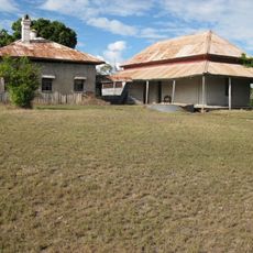
Glengarry Homestead
31.6 km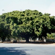
Big Fig, Miriam Vale
51.1 km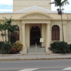
Gladstone Regional Art Gallery and Museum
11.2 km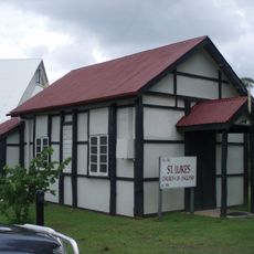
St Luke's Anglican Church, Boyne Island
4.3 km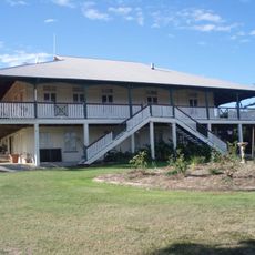
Raglan Homestead
49.8 km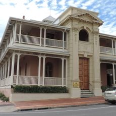
Kullaroo House
11.8 km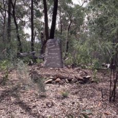
William Wyndham's gravesite
2.5 km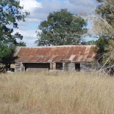
Parson's Inn
53 km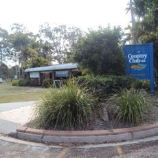
Boyne Island Tannum Sands Golf Course
4.9 km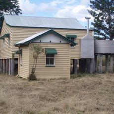
Soldier Settler House
52.7 km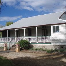
Langmorn Homestead
58.9 kmReviews
Visited this place? Tap the stars to rate it and share your experience / photos with the community! Try now! You can cancel it anytime.
Discover hidden gems everywhere you go!
From secret cafés to breathtaking viewpoints, skip the crowded tourist spots and find places that match your style. Our app makes it easy with voice search, smart filtering, route optimization, and insider tips from travelers worldwide. Download now for the complete mobile experience.

A unique approach to discovering new places❞
— Le Figaro
All the places worth exploring❞
— France Info
A tailor-made excursion in just a few clicks❞
— 20 Minutes