Makira, Island in Solomon Islands
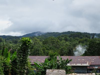
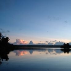
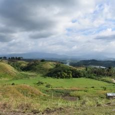
Makira is a substantial island in Solomon Islands stretching about 135 kilometers long and roughly 40 kilometers wide, with steep terrain rising from the Pacific. The landscape is heavily forested and mountainous, with its highest peak reaching around 1,040 meters.
Spanish explorer Álvaro de Mendaña first documented the island in June 1568 during an expedition from Guadalcanal. It was then known as San Cristóbal before later taking its current name.
Five distinct languages are spoken across the island: Arosi, Bauro, Fagani, Kahua, and Owa, reflecting the diversity of communities that live here. This linguistic variety shapes daily interactions and gives each region its own character.
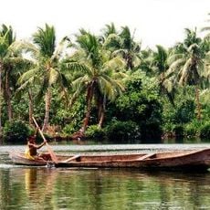
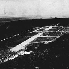
Regular flights connect Ngorangora Airport to several destinations within Solomon Islands. The port at Kira Kira serves as the main hub for maritime traffic and connects to other islands.
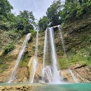
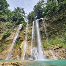
Rivers flow in regular intervals roughly every two to five kilometers across the island, creating a dense network of natural waterways. This intricate water system shapes the landscape and influences how the valleys and terrain form.
The community of curious travelers
AroundUs brings together thousands of curated places, local tips, and hidden gems, enriched daily by 60,000 contributors worldwide.