Solomon Islands

Log in to your account

AroundUs is a community-driven map of interesting places, built by curious explorers like you. It grows with every review, story, and photo you share.
Connect to save your favorite spots, contribute locations, and create personalized routes.
By continuing, you accept our Terms and Conditions and our Privacy Policy
Add to collection
Map
Suggest a change
Share

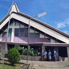
Solomon Islands, Island nation in Oceania

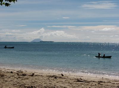
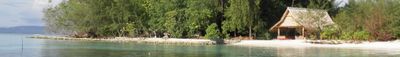
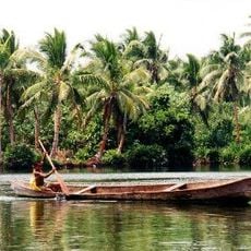
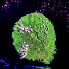
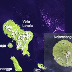
This Pacific nation stretches across six main islands and many smaller islets scattered in the southwestern ocean. Volcanic summits rise from thick rainforest, with coral reefs edging coastal waters and a varied relief ranging from lowland plains to peaks over 2,300 meters high.

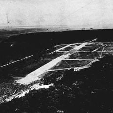
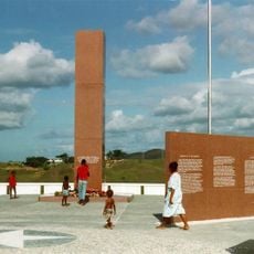
Austronesian seafarers reached the islands at least 3,000 years ago, building trade routes extending into Papua New Guinea. German and British authorities divided the territory in the late 19th century before Britain took control of southern regions, and Guadalcanal became a battlefield during 1942–1943, followed by parliamentary independence in 1978 under a constitutional monarchy.

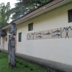
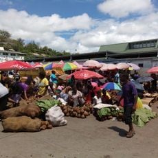
Shell money still changes hands in some rural areas, serving ceremonial purposes at weddings and funerals alongside everyday transactions. Craftspeople carve canoes from native timber and weave mats for daily use or ritual occasions, with patterns marking their home island.

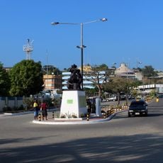
International flights land at Honiara airport on Guadalcanal, with domestic connections reaching smaller airstrips and ferry routes serving other islands. The climate brings rain throughout the year, with heavier monsoon downpours between November and April, and visitors should carry cash because ATMs are sparse beyond the capital.

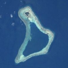
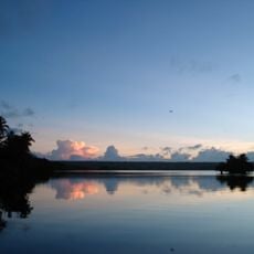
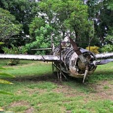
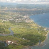
The Marovo Lagoon stretches over 700 square kilometers and forms one of the largest enclosed saltwater lagoons on Earth, with a double barrier reef structure. Divers explore remains of more than 60 warships and aircraft from the Pacific War resting in waters off Guadalcanal and neighboring islands.

Inception: 1978

Capital city: Honiara

Part of: Melanesia

Shares border with: Fiji, Papua New Guinea, Vanuatu, Australia, France

Address: Solomon Islands

Website: https://solomons.gov.sb

GPS coordinates: -9.73543,162.82885

Latest update: December 4, 2025 17:20

Solomon Islands: war museums, dive sites, volcanoes

The Solomon Islands in the South Pacific preserve numerous traces of World War II. In Honiara, the National Museum and Vilu War Museum document the Guadalcanal Campaign through collections of artillery pieces, aircraft wrecks, and military equipment. Offshore, sunken warships and planes have become dive sites. The archipelago includes active volcanoes such as Mount Balbi on Bougainville and Tinakula. The Marovo Lagoon ranks among the world's largest saltwater lagoons. Waterfalls include Mataniko Falls near Honiara and Tenaru Falls. The Central Market in Honiara offers local produce, fish, and handicrafts from various provinces across the archipelago.

Reviews

Visited this place? Tap the stars to rate it and share your experience / photos with the community! Try now! You can cancel it anytime.

« Solomon Islands - Island nation in Oceania » is provided by Around Us (aroundus.com). Images and texts are derived from Wikimedia project under a Creative Commons license. You are allowed to copy, distribute, and modify copies of this page, under the conditions set by the license, as long as this note is clearly visible.

Discover hidden gems everywhere you go!

From secret cafés to breathtaking viewpoints, skip the crowded tourist spots and find places that match your style. Our app makes it easy with voice search, smart filtering, route optimization, and insider tips from travelers worldwide. Download now for the complete mobile experience.

Around Us App Screenshot

A unique approach to discovering new places

Le Figaro

All the places worth exploring

France Info

A tailor-made excursion in just a few clicks

20 Minutes