Enable Location

We need your location to show you interesting places around you

Discover nearby places

Find interesting locations and hidden gems around you

Precise directions

Get accurate directions and distances to places

Your location is never shared with other users. It's only used when you tap the location button.

Brooks County

Log in to your account

Start exploring — it's free

Trusted by 62,487 travelers worldwide

Continue with Google
Continue with Apple
or

We will send you a code to connect

By continuing, you accept our Terms and Conditions and our Privacy Policy

Check your inbox

We've sent a pincode in your inbox. Please enter the code below.

Brooks County, Administrative division in southern Georgia, United States

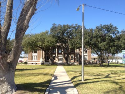
Brooks County is an administrative division in southern Texas comprising agricultural lands, forests, and scattered rural settlements. The county features open countryside where ranching and farming shape the landscape across its territory.

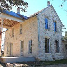
The county developed during the middle of the 19th century and was named after a significant local historical figure. Its growth became tied to the region's changing economic activities and periods of transformation.

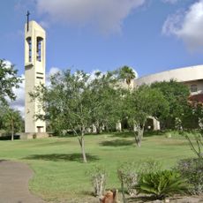
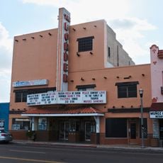
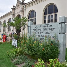
The Brooks County Museum and Cultural Center maintains exhibits of local heritage and organizes regular music, art, and traditional events for the community.

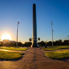
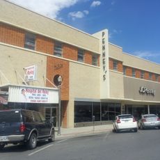
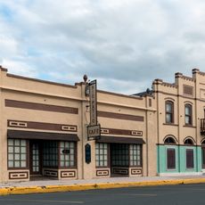
Visitors will find primarily rural landscapes without urban density or substantial tourist infrastructure. Exploring the area works best with your own vehicle since settlements are spread across the county.

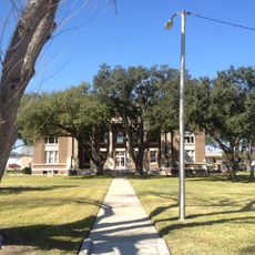
The Atlantic and Gulf Railroad reached Quitman on October 23, 1860, transforming the county into a major food producer during the American Civil War.

The community of curious travelers

AroundUs brings together thousands of curated places, local tips, and hidden gems, enriched daily by 60,000 contributors worldwide.

Start exploring
Location
Inception
1911
Capital city
Falfurrias
Shares border with
Duval County, Jim Wells County, Kleberg County, Kenedy County, Hidalgo County, Starr County, Jim Hogg County
GPS coordinates
27.04000,-98.21000
Latest update
December 7, 2025 10:08
Around this place
King Ranch
United States of America

King Ranch

60.7 km
Falcon International Reservoir
Mexico

Falcon International Reservoir

108.9 km
Basilica of the National Shrine of Our Lady of San Juan del Valle
United States of America

Basilica of the National Shrine of Our Lady of San Juan del Valle

93.8 km
National Butterfly Center
United States of America

National Butterfly Center

96.9 km
La Lomita Chapel
United States of America

La Lomita Chapel

98.9 km
Lower Rio Grande Valley National Wildlife Refuge
United States of America

Lower Rio Grande Valley National Wildlife Refuge

101.4 km
Bentsen-Rio Grande Valley State Park
United States of America

Bentsen-Rio Grande Valley State Park

98 km
Javelina Stadium
United States of America

Javelina Stadium

63.5 km
McAllen Convention Center
United States of America

McAllen Convention Center

93.5 km
McAllen Public Library
United States of America

McAllen Public Library

88.9 km
McAllen Botanical Gardens
United States of America

McAllen Botanical Gardens

91.7 km
Estero Llano Grande State Park
United States of America

Estero Llano Grande State Park

104.9 km
First Lift Station
United States of America

First Lift Station

92.9 km
Roma Historic District
United States of America

Roma Historic District

106.9 km
Topgolf
United States of America

Topgolf

93.9 km
Veterans War Memorial of Texas
United States of America

Veterans War Memorial of Texas

93.7 km
Border Theater
United States of America

Border Theater

92.5 km
Herff-Rozelle Farm
United States of America

Herff-Rozelle Farm

97.2 km
Brooks County Courthouse
United States of America

Brooks County Courthouse

21.7 km
M and J Nelson Building
United States of America

M and J Nelson Building

93.4 km
Reynosakatedralen
Mexico

Reynosakatedralen

105.7 km
McAllen Heritage Center
United States of America

McAllen Heritage Center

93.4 km
Rio Theater
United States of America

Rio Theater

93 km
Garmon Theater
United States of America

Garmon Theater

95.3 km
Padre Island National Seashore
United States of America

Padre Island National Seashore

86.2 km
Malaquite Pavilion
United States of America

Malaquite Pavilion

99.8 km
La Lomita Historic District
United States of America

La Lomita Historic District

99.3 km
Neuhaus Tower
United States of America

Neuhaus Tower

93.3 km
Show the full map
Administrative divisions
« Brooks County - Administrative division in southern Georgia, United States » is provided by Around Us (aroundus.com). Images and texts are derived from Wikimedia project under a Creative Commons license. You are allowed to copy, distribute, and modify copies of this page, under the conditions set by the license, as long as this note is clearly visible.

Discover hidden gems everywhere you go!

From secret cafés to breathtaking viewpoints, skip the crowded tourist spots and find places that match your style. Our app makes it easy with voice search, smart filtering, route optimization, and insider tips from travelers worldwide. Download now for the complete mobile experience.

Around Us App Screenshot

A unique approach to discovering new places

Le Figaro

All the places worth exploring

France Info

A tailor-made excursion in just a few clicks

20 Minutes

Around Us
Travel Guide & Maps
Download

Send to your phone

QR Code
1

Open the camera app on your mobile.

2

Point at the QR code with your camera. A notification will appear.

3

Tap the notification to open the link.