
Panola County, Administrative division in eastern Mississippi, United States
Panola County spans 705 square miles across eastern Mississippi, with 685 square miles of land and 20 square miles of water surfaces.
Established on February 9, 1836, Panola County emerged from the Chickasaw Cession of 1832, deriving its name from the Choctaw word ponolo meaning cotton.
The county maintains two separate administrative seats in Batesville and Sardis due to the geographical division created by the Tallahatchie River.
The county infrastructure includes Interstate 55, US Route 51, and several Mississippi highways connecting residents to major transportation networks across the state.
The demographic composition of Panola County reflects an almost equal distribution between African American residents at 48.3% and white residents at 47.1%.
Location: Texas
Inception: 1846
Capital city: Carthage
Shares border with: Harrison County, Caddo Parish, DeSoto Parish, Shelby County, Rusk County
Website: http://co.panola.tx.us
GPS coordinates: 32.16000,-94.31000
Latest update: May 27, 2025 13:30


Chimp Haven
36.1 km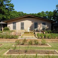
The Gardens of the American Rose Center
50.1 km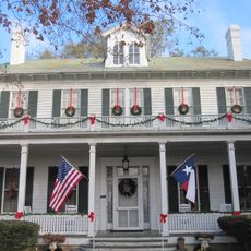
Starr Family Home State Historic Site
42.9 km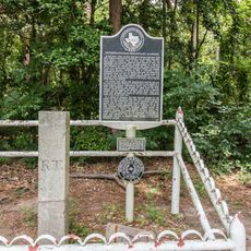
International Boundary Marker
28.8 km
Hotel Marshall
43.2 km
Old Harrison County Courthouse
43.2 km
The Ginocchio
44 km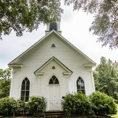
Keachi Baptist Church
37.9 km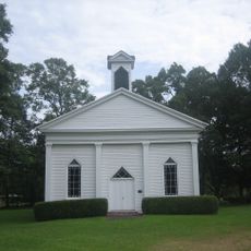
Keachi Presbyterian Church
38.5 km
Sam B. Hall, Jr. Federal Building and United States Courthouse
43.1 km
Ginocchio Historic District
43.9 km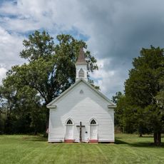
Keachi United Methodist Church
38.5 km
Arnot House
43.2 km
James Turner House
42.9 km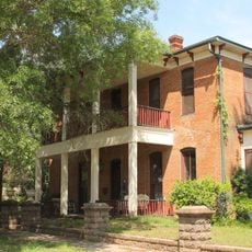
Hagerty House
43.4 km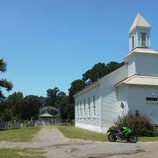
Methodist Church Concord
18.1 km
Hochwald House
43.6 km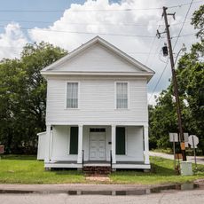
Liberty Lodge No. 123, F&AM
38.2 km
Fry-Barry House
43.3 km
Jim-Reeves-Denkmal
3.3 km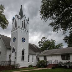
Grand Cane United Methodist Church
48.1 km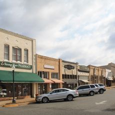
Henderson Commercial Historic District
46.1 km
Weisman-Hirsch House
42.9 km
Old Shelby County Courthouse
42.4 km
Paramount Theatre
43.4 km
Rio Theater
43.5 km
Starr Family Home State Historic Site
42.9 km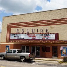
Esquire Theater
2.7 kmReviews
Visited this place? Tap the stars to rate it and share your experience / photos with the community! Try now! You can cancel it anytime.

Discover hidden gems everywhere you go!
From secret cafés to breathtaking viewpoints, skip the crowded tourist spots and find places that match your style. Our app makes it easy with voice search, smart filtering, route optimization, and insider tips from travelers worldwide. Download now for the complete mobile experience.

A unique approach to discovering new places❞
— Le Figaro
All the places worth exploring❞
— France Info
A tailor-made excursion in just a few clicks❞
— 20 Minutes