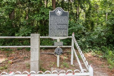
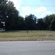
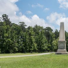
International Boundary Marker, International border marker near Deadwood, Texas, US.
The International Boundary Marker is a granite stone standing at the crossroads of two highways on the border between Texas and Louisiana. It marks where territories once met in the landscape.
The marker was created in 1840 and placed in 1841 to define the boundary when Texas was still an independent nation. It remains a physical record of that territorial separation.
The marker reveals how people once drew lines between territories using practical surveying methods. You can see it as a simple representation of how borders were physically marked in the landscape.
The marker sits on federal land divided between Louisiana and Texas and remains open to visitors. You can reach it easily from either of the highways that pass through the area.
This is one of only two international boundary markers that sits entirely within present-day United States territory. Despite its location on major roads, it often goes unnoticed by passing travelers.
The community of curious travelers
AroundUs brings together thousands of curated places, local tips, and hidden gems, enriched daily by 60,000 contributors worldwide.