Mission Dolores State Historic Site

Log in to your account

AroundUs is a community-driven map of interesting places, built by curious explorers like you. It grows with every review, story, and photo you share.
Connect to save your favorite spots, contribute locations, and create personalized routes.
Continue with Google
Continue with Apple
Continue with X
Continue with Facebook
Continue with email
By continuing, you accept our Terms and Conditions and our Privacy Policy
Create an account
Add to collection
Map
Suggest a change
Share

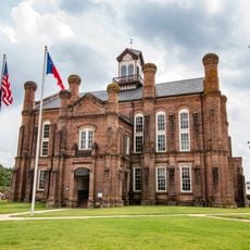
Mission Dolores State Historic Site, Spanish colonial archaeological site in San Augustine County, United States.

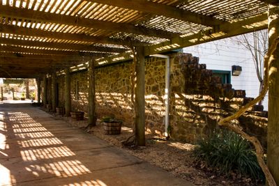
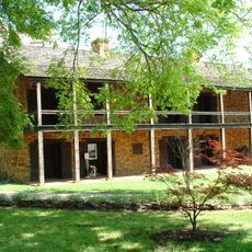
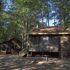
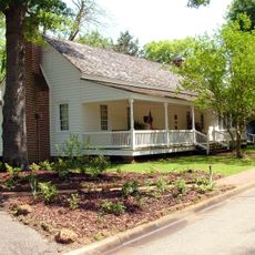
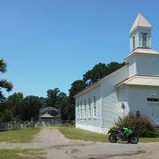
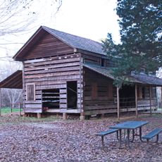
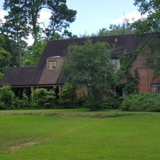
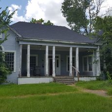
Mission Dolores is a 36-acre property preserving the remains of an early 18th-century Spanish mission set on a hillside in East Texas. The site includes a museum, a campground, and interpretive displays that show what colonial life was like during that era.

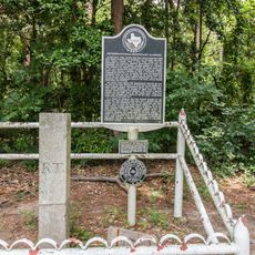
Spanish missionaries founded the mission in 1721 as a strategic outpost to protect their control of East Texas against French expansion from Louisiana. It served as a focal point for Spanish interests in this contested border region.

The mission served as a meeting place where Spanish settlers and the Ais people coexisted, with the Ais maintaining their own independence and ways of life. Visitors can sense how these two communities lived alongside each other while the Ais retained control over their own affairs.

The site is easily accessible with shaded walking paths and wheelchair access to various areas throughout the property. The best time to visit is during warmer months when the trails and exhibits are pleasant to explore and the weather cooperates.

Excavations have uncovered numerous 18th-century artifacts and structures including old wells and refuse areas that reveal the mission's extensive layout. These discoveries offer a rare glimpse into the everyday lives of people who lived at this location centuries ago.

Location: San Augustine County

Website: https://thc.texas.gov/historic-sites/mission-dolores-state-historic-site

GPS coordinates: 31.52389,-94.11333

Latest update: December 12, 2025 17:46

Photos
Around this place
Toledo Bend Reservoir
United States of America

Toledo Bend Reservoir

63 km
United States of America

Sam Rayburn Reservoir

51.5 km
Hodges Gardens State Park
United States of America

Hodges Gardens State Park

67.6 km
Homer Bryce Stadium
United States of America

Homer Bryce Stadium

51.6 km
South Toledo Bend State Park
United States of America

South Toledo Bend State Park

62.5 km
Ellen Trout Zoo
United States of America

Ellen Trout Zoo

60.6 km
Old Stone Fort Museum
United States of America

Old Stone Fort Museum

52.3 km
North Toledo Bend State Park
United States of America

North Toledo Bend State Park

36.2 km
International Boundary Marker
United States of America

International Boundary Marker

57.2 km
Pines Theater
United States of America

Pines Theater

62 km
Sterne-Hoya House Museum and Library
United States of America

Sterne-Hoya House Museum and Library

51.7 km
William Garrett Plantation
United States of America

William Garrett Plantation

2.8 km
Woodmen of the World Building
United States of America

Woodmen of the World Building

52 km
Methodist Church Concord
United States of America

Methodist Church Concord

55.2 km
Gaines–Oliphint House
United States of America

Gaines–Oliphint House

34.5 km
San Augustine County Courthouse and Jail
United States of America

San Augustine County Courthouse and Jail

683 m
Ezekiel W. Cullen House
United States of America

Ezekiel W. Cullen House

708 m
Guy House
United States of America

Guy House

65 km
Bowers-Felts House
United States of America

Bowers-Felts House

63.4 km
Everitt-Cox House
United States of America

Everitt-Cox House

62.3 km
Brookshire, Houston-Yeates House
United States of America

Brookshire, Houston-Yeates House

61.4 km
Millard's Crossing Historic Village
United States of America

Millard's Crossing Historic Village

53.8 km
Texas Forestry Museum
United States of America

Texas Forestry Museum

59.4 km
Old Shelby County Courthouse
United States of America

Old Shelby County Courthouse

30.9 km
Rio Theater
United States of America

Rio Theater

29.7 km
Sabine Theatre
United States of America

Sabine Theatre

59.9 km
Lufkin Lanes
United States of America

Lufkin Lanes

61.2 km
Main Theater
United States of America

Main Theater

51.8 km
Show the full map
Reviews

Visited this place? Tap the stars to rate it and share your experience / photos with the community! Try now! You can cancel it anytime.

« Mission Dolores State Historic Site - Spanish colonial archaeological site in San Augustine County, United States » is provided by Around Us (aroundus.com). Images and texts are derived from Wikimedia project under a Creative Commons license. You are allowed to copy, distribute, and modify copies of this page, under the conditions set by the license, as long as this note is clearly visible.

Discover hidden gems everywhere you go!

From secret cafés to breathtaking viewpoints, skip the crowded tourist spots and find places that match your style. Our app makes it easy with voice search, smart filtering, route optimization, and insider tips from travelers worldwide. Download now for the complete mobile experience.

Around Us App Screenshot

A unique approach to discovering new places

Le Figaro

All the places worth exploring

France Info

A tailor-made excursion in just a few clicks

20 Minutes