Enable Location

We need your location to show you interesting places around you

Discover nearby places

Find interesting locations and hidden gems around you

Precise directions

Get accurate directions and distances to places

Your location is never shared with other users. It's only used when you tap the location button.

Mayaguana

Log in to your account

Start exploring — it's free

Trusted by 62,171 travelers worldwide

Continue with Google
Continue with Apple
or

We will send you a code to connect

By continuing, you accept our Terms and Conditions and our Privacy Policy

Check your inbox

We've sent a pincode in your inbox. Please enter the code below.

Mayaguana, Easternmost island and district in The Bahamas

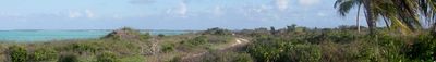
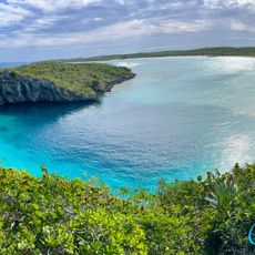
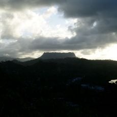
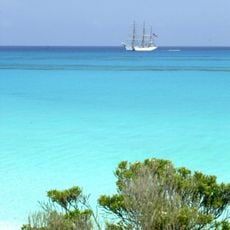
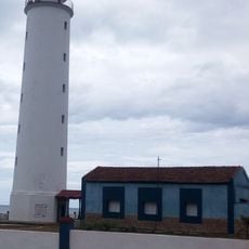
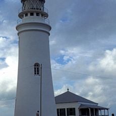
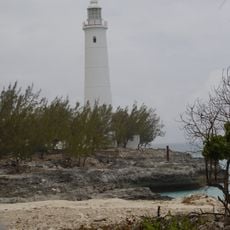
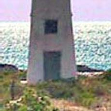
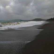
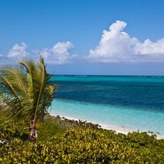
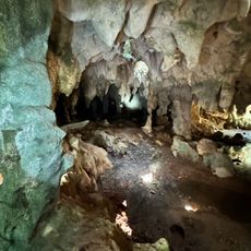
Mayaguana is the easternmost island and district in The Bahamas, stretching across land shaped by wide beaches and natural limestone formations. The coastlines are marked by dry forests that give the landscape a rugged, natural character.

The island lay empty from the 16th century until 1812, when people from the Turks and Caicos Islands began moving here to settle. This wave of arrival shaped the population and culture that took root over generations.

The community here keeps fishing alive as a central part of daily life and gathers for celebrations like the Betsy Bay Homecoming Festival. These events show how much the residents value staying connected to one another.

Visitors can reach the island through Mayaguana Airport near Abraham's Bay, which has regular flights connecting to Nassau. It helps to check flight schedules ahead of time, since connections may change depending on the season.

Horse Pond Beach is a spot where visitors can watch locals search for land crabs moving through the natural limestone rock formations. This activity ties together old traditions with the island's rich ecosystem.

The community of curious travelers

AroundUs brings together thousands of curated places, local tips, and hidden gems, enriched daily by 60,000 contributors worldwide.

Start exploring
Location
Elevation above the sea
7 m
Part of
The Bahamas
GPS coordinates
22.37583,-72.90833
Latest update
December 7, 2025 20:20
« Mayaguana - Easternmost island and district in The Bahamas » is provided by Around Us (aroundus.com). Images and texts are derived from Wikimedia project under a Creative Commons license. You are allowed to copy, distribute, and modify copies of this page, under the conditions set by the license, as long as this note is clearly visible.

Discover hidden gems everywhere you go!

From secret cafés to breathtaking viewpoints, skip the crowded tourist spots and find places that match your style. Our app makes it easy with voice search, smart filtering, route optimization, and insider tips from travelers worldwide. Download now for the complete mobile experience.

Around Us App Screenshot

A unique approach to discovering new places

Le Figaro

All the places worth exploring

France Info

A tailor-made excursion in just a few clicks

20 Minutes

Around Us
Travel Guide & Maps
Download

Send to your phone

QR Code
1

Open the camera app on your mobile.

2

Point at the QR code with your camera. A notification will appear.

3

Tap the notification to open the link.