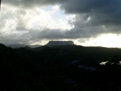
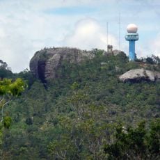
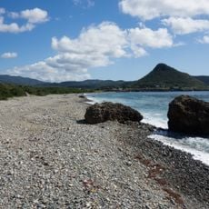
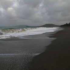
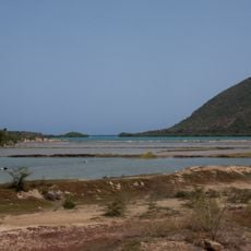
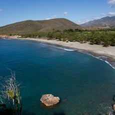
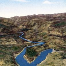
El Yunque, Cuba, Table mountain near Baracoa, Cuba
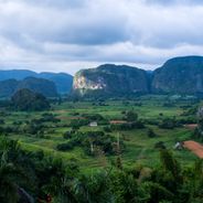
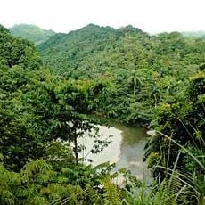
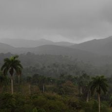
El Yunque is a table mountain in Guantánamo Province with a distinctive flat summit rising roughly 575 meters. The mountain sits between the Duaba and Toa rivers and is covered by moist forest with cocoa plantations and royal palms on its slopes.
Christopher Columbus recorded this mountain during his exploration of Cuba in his voyage chronicles. This made it one of the earliest European documented accounts of a Cuban geographical feature.
Local people named this mountain after its distinctive flat-topped shape, which resembles an anvil in Spanish. This naming reflects how the landscape itself shaped the language and identity of early communities in the area.
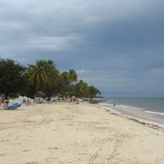
The climb starts at a visitor center where experienced guides are required for the trek through cocoa plantations. The full hike takes about six hours round trip and involves walking through humid forest areas.
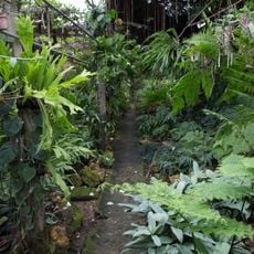
The mountain harbors Cuban moist forests with species found nowhere else on the island. These habitats owe their variety to the unique climate created between the two surrounding rivers.
The community of curious travelers
AroundUs brings together thousands of curated places, local tips, and hidden gems, enriched daily by 60,000 contributors worldwide.