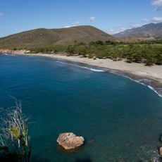
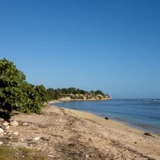
Cuchillas del Toa, Biosphere reserve in eastern Guantánamo and Holguín provinces, Cuba
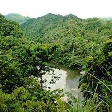
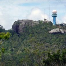
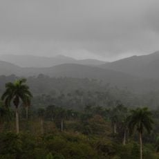
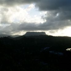
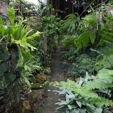
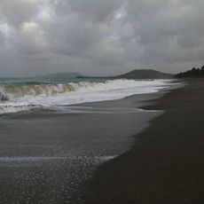
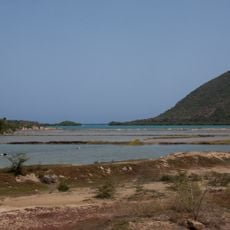
Cuchillas del Toa is a protected reserve spanning across Guantanamo and Holguin provinces with diverse landscapes including pine and cloud forests, mangroves, and coral reefs. The area is shaped by the Toa River and features prominent natural formations like the El Yunque table mountain and several waterfalls including one reaching 300 meters.
The area gained UNESCO Biosphere Reserve status in 1987 and was later integrated into the Alexander von Humboldt National Park. These protections were established to safeguard the region's diverse ecosystems and wildlife.
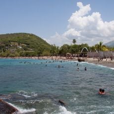
Local communities living throughout the area practice traditional forestry and farming, maintaining deep connections to the land and forests. You can see how people use the rivers and forest resources as part of their daily lives.
The reserve can be explored via marked trails that lead to natural highlights such as El Yunque and the Moa cave system. Visitors should be prepared for wet, mountainous terrain and changing weather conditions depending on which areas are being visited.
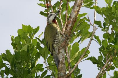
The area is home to hundreds of plant species found nowhere else on Earth, including ancient plant genera such as Podocarpus and Dracaena. The Cuban Solenodon, a rare mammal from the time of dinosaurs, also inhabits these forests.
The community of curious travelers
AroundUs brings together thousands of curated places, local tips, and hidden gems, enriched daily by 60,000 contributors worldwide.