Enable Location

We need your location to show you interesting places around you

Discover nearby places

Find interesting locations and hidden gems around you

Precise directions

Get accurate directions and distances to places

Your location is never shared with other users. It's only used when you tap the location button.

Manatee County

Log in to your account

Start exploring — it's free

Trusted by 61,651 travelers worldwide

Continue with Google
Continue with Apple
or

We will send you a code to connect

By continuing, you accept our Terms and Conditions and our Privacy Policy

Check your inbox

We've sent a pincode in your inbox. Please enter the code below.

Manatee County, Administrative county in Florida, US

Description

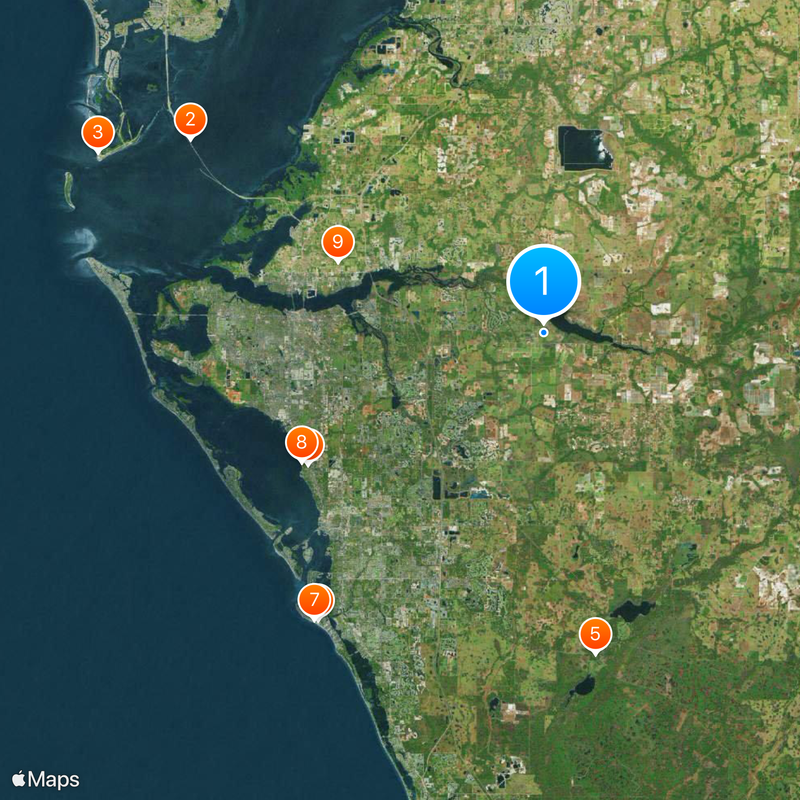
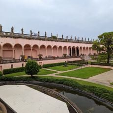
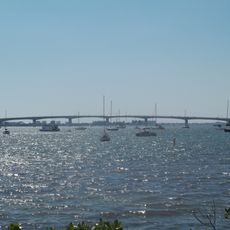
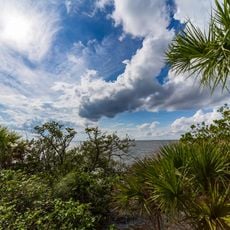
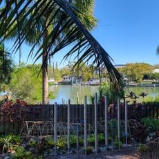
Manatee County is an administrative unit along the Gulf Coast in western Florida, between Tampa Bay to the north and the Sarasota County line to the south. The area includes several communities and cities, along with long stretches of shoreline featuring sandbars, rivers, and mangrove forests.

History

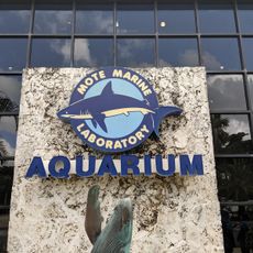
The administrative unit was established in 1855 and named after the Florida manatee that lived in the region's rivers and bays at that time. Before European settlers arrived, different indigenous groups inhabited the area and left traces of their way of life at several coastal sites.

Culture

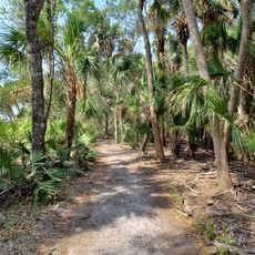
The coastal landscape with its bays and river mouths draws visitors who appreciate the subtropical climate and access to the Gulf of Mexico. On weekdays you can see fishermen casting nets and families strolling the piers, where daily life mixes with tourism.

Practical

The area is easily explored by car, as most places are connected by a network of main roads. Those visiting the coastal stretches should bring sun protection and enough water during warm weather.

Did you know?

At several points along the shore, remnants from pre-Columbian times offer insights into earlier ways of life. These archaeological sites contain pottery and tools dating back to the Woodland period and are now documented by specialists.

Location
Inception
January 9, 1855
Capital city
Bradenton
Reference
12-081
Shares border with
Hillsborough County, Polk County, Hardee County, DeSoto County, Sarasota County
GPS coordinates
27.48000,-82.36000
Latest update
December 13, 2025 16:32

AroundUs brings together thousands of curated places, local tips, and hidden gems, enriched daily by 60,000 contributors worldwide. Discover all places nearby (Florida).

Around this place
Sunshine Skyway Bridge
United States of America

Sunshine Skyway Bridge

33.6 km
Fort De Soto Park
United States of America

Fort De Soto Park

40.1 km
Siesta Beach
United States of America

Siesta Beach

30.5 km
Myakka River State Park
United States of America

Myakka River State Park

27.1 km
John and Mable Ringling Museum of Art
United States of America

John and Mable Ringling Museum of Art

22.5 km
Siesta Beach
United States of America

Siesta Beach

30.6 km
Cà d'Zan
United States of America

Cà d'Zan

22.9 km
Gamble Plantation Historic State Park
United States of America

Gamble Plantation Historic State Park

18.1 km
WGC-Mexico Championship
Mexico

WGC-Mexico Championship

8.6 km
Egmont Key State Park
United States of America

Egmont Key State Park

41.6 km
Sarasota High School
United States of America

Sarasota High School

23.9 km
Mote Marine Laboratory
United States of America

Mote Marine Laboratory

27 km
Marie Selby Botanical Gardens
United States of America

Marie Selby Botanical Gardens

24.6 km
Zigzag House
United States of America

Zigzag House

27.7 km
Mote Marine Laboratory & Aquarium
United States of America

Mote Marine Laboratory & Aquarium

27 km
De Soto National Memorial
United States of America

De Soto National Memorial

28.4 km
John & Mable Ringling Museum of Art Library & Archive
United States of America

John & Mable Ringling Museum of Art Library & Archive

22.9 km
Florida Railroad Museum
United States of America

Florida Railroad Museum

19.7 km
Sarasota Jungle Gardens
United States of America

Sarasota Jungle Gardens

23.1 km
John Ringling Causeway
United States of America

John Ringling Causeway

26.4 km
United States of America

The Out-of-Door Academy

29.3 km
Van Wezel Performing Arts Hall
United States of America

Van Wezel Performing Arts Hall

24.2 km
United States of America

Nathan Benderson Park

15.4 km
Lake Manatee State Park
United States of America

Lake Manatee State Park

2.4 km
Marie Selby Botanical Gardens
United States of America

Marie Selby Botanical Gardens

24.7 km
Egmont Key Light
United States of America

Egmont Key Light

41.8 km
Rod and Reel Pier
United States of America

Rod and Reel Pier

38 km
The Bishop Museum of Science and Nature
United States of America

The Bishop Museum of Science and Nature

21 km
Show the full map
Administrative divisions
« Manatee County - Administrative county in Florida, US » is provided by Around Us (aroundus.com). Images and texts are derived from Wikimedia project under a Creative Commons license. You are allowed to copy, distribute, and modify copies of this page, under the conditions set by the license, as long as this note is clearly visible.

Discover hidden gems everywhere you go!

From secret cafés to breathtaking viewpoints, skip the crowded tourist spots and find places that match your style. Our app makes it easy with voice search, smart filtering, route optimization, and insider tips from travelers worldwide. Download now for the complete mobile experience.

Around Us App Screenshot

A unique approach to discovering new places

Le Figaro

All the places worth exploring

France Info

A tailor-made excursion in just a few clicks

20 Minutes

Around Us
Travel Guide & Maps
Download

Send to your phone

QR Code
1

Open the camera app on your mobile.

2

Point at the QR code with your camera. A notification will appear.

3

Tap the notification to open the link.