Enable Location

We need your location to show you interesting places around you

Discover nearby places

Find interesting locations and hidden gems around you

Precise directions

Get accurate directions and distances to places

Your location is never shared with other users. It's only used when you tap the location button.

Lafayette County

Log in to your account

Start exploring — it's free

Trusted by 61,668 travelers worldwide

Continue with Google
Continue with Apple
or

We will send you a code to connect

By continuing, you accept our Terms and Conditions and our Privacy Policy

Check your inbox

We've sent a pincode in your inbox. Please enter the code below.

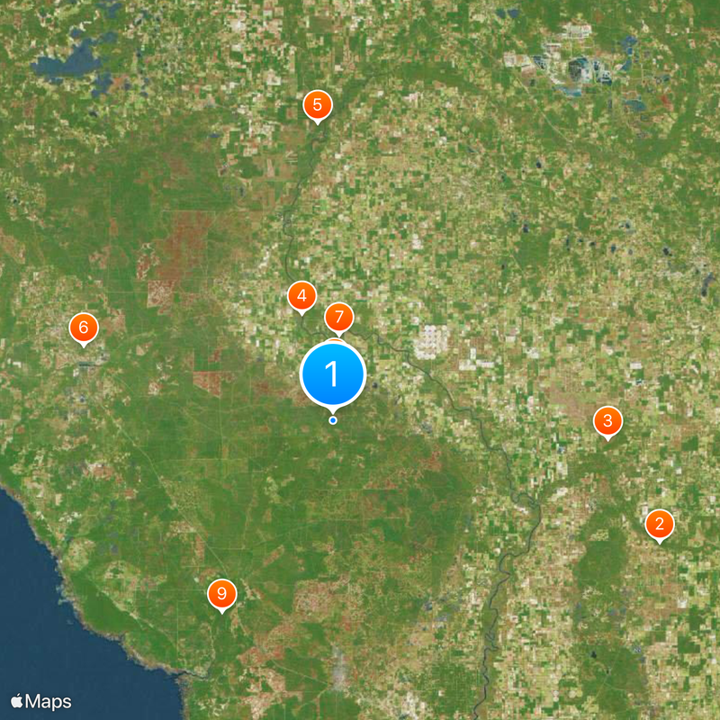
Lafayette County, County administrative division in northern Florida, United States.

Description

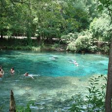
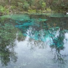
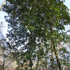
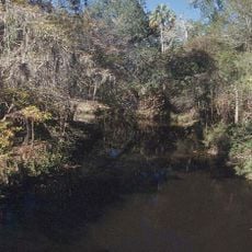
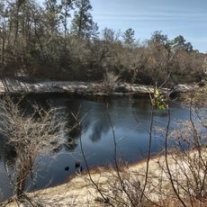
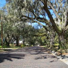
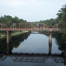
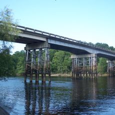
Lafayette County is an administrative division in northern Florida that spans across forests of pine trees, natural springs, farmland, and the Suwannee River running along its eastern edge. The terrain is low and water-rich, with the river forming a natural boundary for the region.

History

The area was established as a county in 1856 and named after a French military officer who supported the American forces during the independence war. This naming choice reflects how the new nation honored those who helped in its founding struggles.

Culture

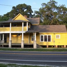
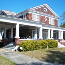
The county's way of life centers on farming communities where residents gather for seasonal fairs and at local markets that showcase regional crops. These agricultural gatherings form the backbone of local social life and how people connect with each other.

Practical

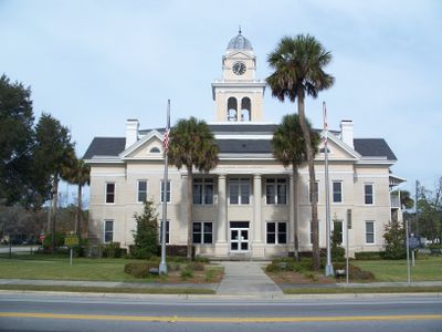
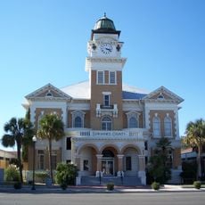
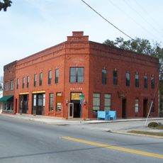
Mayo serves as the administrative hub where government services are located. State Road 27 provides the main connection to other counties and larger cities, making it easy to move through and beyond the area.

Did you know?

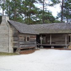
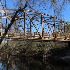
A state park within the region protects limestone cliffs and the remains of earthwork fortifications from the 1800s. These structures offer a glimpse into military history that shaped the area during that era.

Location
Inception
December 23, 1853
Capital city
Mayo
Shares border with
Suwannee County, Gilchrist County, Dixie County, Taylor County, Madison County
GPS coordinates
29.99000,-83.18000
Latest update
December 20, 2025 16:09

AroundUs brings together thousands of curated places, local tips, and hidden gems, enriched daily by 60,000 contributors worldwide. Discover all places nearby (Florida).

Around this place
Ginnie Springs
United States of America

Ginnie Springs

49.4 km
Ichetucknee Springs State Park
United States of America

Ichetucknee Springs State Park

39 km
United States of America

Lafayette Blue Springs State Park

15.8 km
Twin Rivers State Forest
United States of America

Twin Rivers State Forest

42.2 km
Forest Capital Museum State Park
United States of America

Forest Capital Museum State Park

36.9 km
Hal W. Adams Bridge
United States of America

Hal W. Adams Bridge

12.2 km
House of the Seven Gables
United States of America

House of the Seven Gables

7.1 km
Steinhatchee Falls
United States of America

Steinhatchee Falls

31.3 km
Suwannee County Courthouse
United States of America

Suwannee County Courthouse

38.8 km
Old Taylor County Jail
United States of America

Old Taylor County Jail

41.2 km
Lafayette County Courthouse
United States of America

Lafayette County Courthouse

7 km
Old Lafayette County Courthouse
United States of America

Old Lafayette County Courthouse

7.1 km
White Springs Historic District
United States of America

White Springs Historic District

55.4 km
M. Pico Building
United States of America

M. Pico Building

7 km
Old Live Oak City Hall
United States of America

Old Live Oak City Hall

39.1 km
Stephen Foster Folk Culture Center State Park
United States of America

Stephen Foster Folk Culture Center State Park

55.3 km
Old Mayo Free Press Building
United States of America

Old Mayo Free Press Building

7.1 km
Hull-Hawkins House
United States of America

Hull-Hawkins House

35.5 km
Fort White Public School Historic District
United States of America

Fort White Public School Historic District

45.7 km
Cannon Farm
United States of America

Cannon Farm

35.5 km
South Brooksville Avenue Historic District
United States of America

South Brooksville Avenue Historic District

45.6 km
Sikes House
United States of America

Sikes House

45.6 km
George Allison House
United States of America

George Allison House

39.1 km
Dr. Price House
United States of America

Dr. Price House

38.7 km
Bishop B. Blackwell House
United States of America

Bishop B. Blackwell House

38.6 km
Suwannee Springs Bridge
United States of America

Suwannee Springs Bridge

50.9 km
Hillman Bridge
United States of America

Hillman Bridge

43.9 km
Cannon-McCollister Bridge
United States of America

Cannon-McCollister Bridge

33.1 km
Show the full map
Administrative divisions
« Lafayette County - County administrative division in northern Florida, United States » is provided by Around Us (aroundus.com). Images and texts are derived from Wikimedia project under a Creative Commons license. You are allowed to copy, distribute, and modify copies of this page, under the conditions set by the license, as long as this note is clearly visible.

Discover hidden gems everywhere you go!

From secret cafés to breathtaking viewpoints, skip the crowded tourist spots and find places that match your style. Our app makes it easy with voice search, smart filtering, route optimization, and insider tips from travelers worldwide. Download now for the complete mobile experience.

Around Us App Screenshot

A unique approach to discovering new places

Le Figaro

All the places worth exploring

France Info

A tailor-made excursion in just a few clicks

20 Minutes

Around Us
Travel Guide & Maps
Download

Send to your phone

QR Code
1

Open the camera app on your mobile.

2

Point at the QR code with your camera. A notification will appear.

3

Tap the notification to open the link.