Enable Location

We need your location to show you interesting places around you

Discover nearby places

Find interesting locations and hidden gems around you

Precise directions

Get accurate directions and distances to places

Your location is never shared with other users. It's only used when you tap the location button.

Union County

Log in to your account

Start exploring — it's free

Trusted by 62,609 travelers worldwide

Continue with Google
Continue with Apple
or

We will send you a code to connect

By continuing, you accept our Terms and Conditions and our Privacy Policy

Check your inbox

We've sent a pincode in your inbox. Please enter the code below.

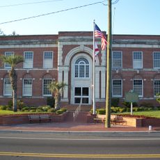
Union County, Administrative division in North Carolina, United States.

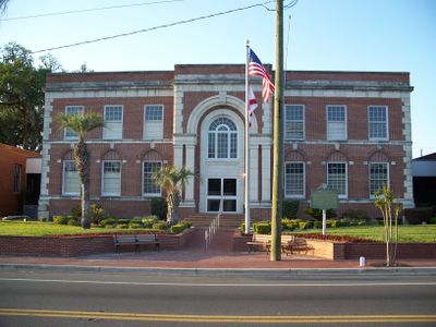
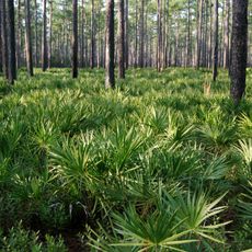
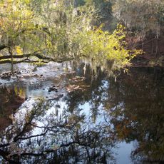
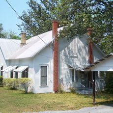
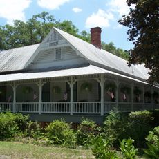
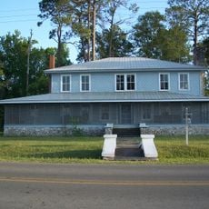
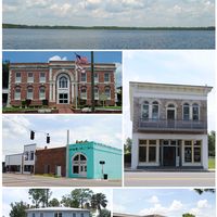
Union County is an administrative division in north-central Florida that encompasses several small communities and rural areas. The county spans a mixed landscape with a quieter pace compared to nearby metropolitan regions.

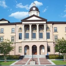
Union County was established in 1921 from portions of Bradford County and named after the principle of union. The area developed as an agricultural region throughout the 20th century.

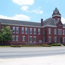
The Sheriff's Office Administrative Division manages community programs, produces quarterly newsletters, and coordinates public safety initiatives to maintain connections with local residents.

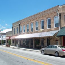
The county is accessible by several highways and offers easy access to smaller towns and natural areas. Visitors will find local services and shops mostly concentrated along main roads.

The county maintains a Veteran Grave Registration Database through the County Clerk's office, documenting and preserving military service members' final resting locations.

The community of curious travelers

AroundUs brings together thousands of curated places, local tips, and hidden gems, enriched daily by 60,000 contributors worldwide.

Start exploring
Location
Inception
May 20, 1921
Capital city
Lake Butler
Reference
12-125
Shares border with
Baker County, Bradford County, Alachua County, Columbia County
GPS coordinates
30.04000,-82.37000
Latest update
December 20, 2025 13:26
Around this place
Osceola National Forest
United States of America

Osceola National Forest

28.3 km
Olustee Battlefield Historic State Park
United States of America

Olustee Battlefield Historic State Park

19.3 km
O'Leno State Park
United States of America

O'Leno State Park

24.8 km
United States of America

Gainesville Raceway

32.7 km
United States of America

River Rise Preserve State Park

30.3 km
Columbia County Courthouse
United States of America

Columbia County Courthouse

30.6 km
United States of America

Mission San Francisco de Potano

25.7 km
Old Bradford County Courthouse
United States of America

Old Bradford County Courthouse

27.2 km
Call Street Historic District
United States of America

Call Street Historic District

27.4 km
Union County Courthouse
United States of America

Union County Courthouse

3.5 km
Lake City-Columbia County Historical Museum
United States of America

Lake City-Columbia County Historical Museum

30.5 km
Glen Saint Mary Nurseries Company
United States of America

Glen Saint Mary Nurseries Company

30.3 km
T. G. Henderson House
United States of America

T. G. Henderson House

30.5 km
City of Alachua Downtown Historic District
United States of America

City of Alachua Downtown Historic District

30.3 km
Bethel United Methodist Church
United States of America

Bethel United Methodist Church

26.8 km
Lake Isabella Historic Residential District
United States of America

Lake Isabella Historic Residential District

30.2 km
Townsend Building
United States of America

Townsend Building

3.3 km
Woman's Club of Starke
United States of America

Woman's Club of Starke

27.2 km
James W. Townsend House
United States of America

James W. Townsend House

3.4 km
St. Mark's Episcopal Church
United States of America

St. Mark's Episcopal Church

27.6 km
Lake Butler Woman's Club
United States of America

Lake Butler Woman's Club

3.6 km
Olustee Beach
United States of America

Olustee Beach

20.3 km
River Ranch Waterpark
United States of America

River Ranch Waterpark

29.7 km
United States of America

Lake De Soto

30.4 km
United States of America

Lake Isabella

30.2 km
United States of America

Olustee Experimental Forest

17.9 km
United States of America

Tillman Amphitheatre

29.8 km
United States of America

River Sink Overlook

24.2 km
Show the full map
Administrative divisions
« Union County - Administrative division in North Carolina, United States » is provided by Around Us (aroundus.com). Images and texts are derived from Wikimedia project under a Creative Commons license. You are allowed to copy, distribute, and modify copies of this page, under the conditions set by the license, as long as this note is clearly visible.

Discover hidden gems everywhere you go!

From secret cafés to breathtaking viewpoints, skip the crowded tourist spots and find places that match your style. Our app makes it easy with voice search, smart filtering, route optimization, and insider tips from travelers worldwide. Download now for the complete mobile experience.

Around Us App Screenshot

A unique approach to discovering new places

Le Figaro

All the places worth exploring

France Info

A tailor-made excursion in just a few clicks

20 Minutes

Around Us
Travel Guide & Maps
Download

Send to your phone

QR Code
1

Open the camera app on your mobile.

2

Point at the QR code with your camera. A notification will appear.

3

Tap the notification to open the link.