Cedar Key, Gulf Coast coastal town in Levy County, United States
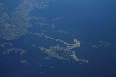
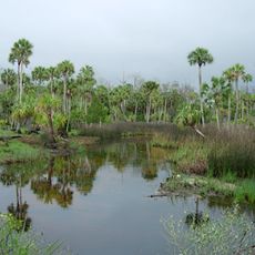
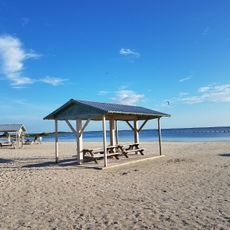
Cedar Key sits on several small islands linked by bridges, positioned about three miles (5 km) off the Florida mainland coast in the Gulf of Mexico. The settlement consists of low buildings along narrow streets, surrounded by salt marshes and shallow waters where oyster beds and mangrove roots become visible at low tide.
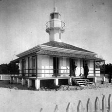
Spanish explorers charted the area in 1542, but permanent settlement began only in the mid-1800s with the construction of a railroad line. During the Civil War, the harbor served as an important transfer point for goods, before a hurricane in 1896 destroyed much of the infrastructure.
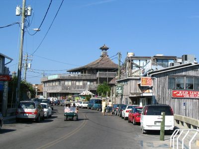
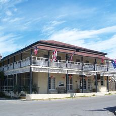
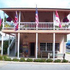
The name comes from the cedar forests that once covered the islands and were nearly harvested to extinction during the 1800s. Today, wooden stilt houses and small fishing operations define the local character, while residents mend nets at the docks and organize boat trips for visitors.
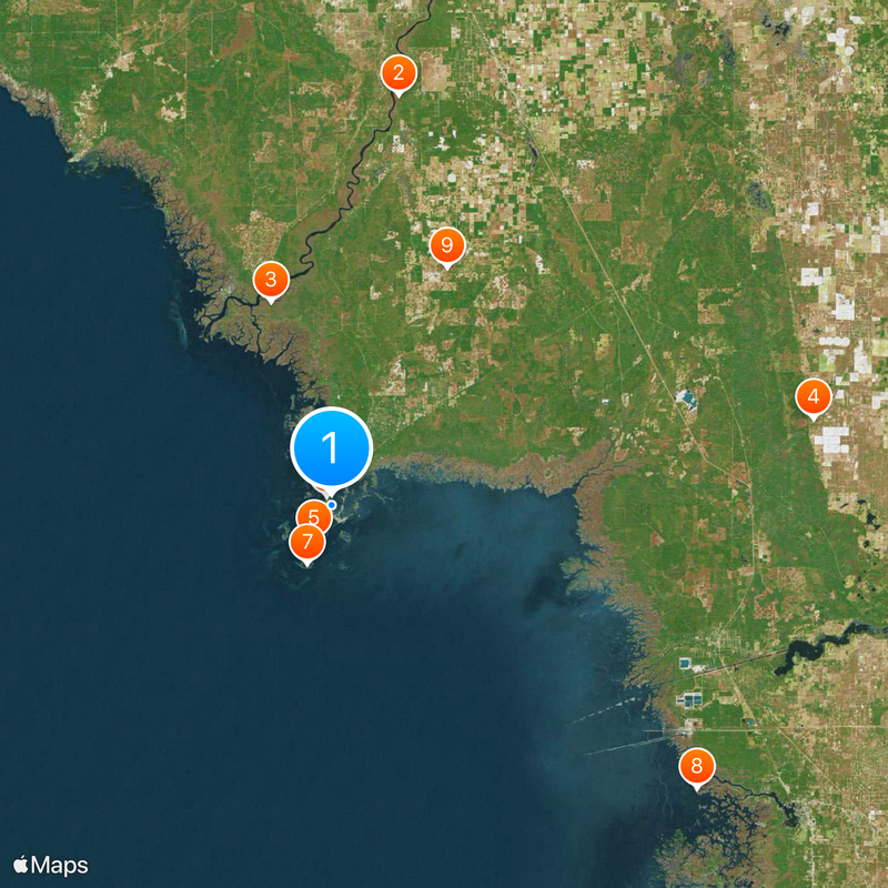
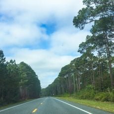
Access is only possible via State Route 24, which crosses four bridges over salt marshes before reaching the center. Parking is available along the main street, and most points are reachable on foot or by bicycle, with paths that are flat and easy to walk.
The surrounding waters host the largest commercial clam farming operation in Florida, producing millions of clams each year. Fishermen deploy nets and wire cages in shallow water, allowing visitors to observe the farming setups from shore.
The community of curious travelers
AroundUs brings together thousands of curated places, local tips, and hidden gems, enriched daily by 60,000 contributors worldwide.