
Clay County, County administration district in Florida, United States
Clay County extends across 644 square miles of Florida terrain, incorporating both residential neighborhoods and natural conservation areas within its boundaries.
The territory received its designation as Clay County in 1858, named after the American politician Henry Clay who served as Secretary of State.
The county government center in Green Cove Springs functions as a central hub for local administrative services and community gatherings throughout the year.
Residents access county services through the administration building during standard hours from 8:00 AM to 4:30 PM, with designated parking available on site.
The county maintains specialized departments for geographic information systems and technology services, enabling digital mapping and remote access to administrative resources.
Location: Florida
Inception: December 31, 1858
Capital city: Green Cove Springs
Shares border with: Duval County, St. Johns County, Putnam County, Bradford County, Baker County
Website: https://claycountygov.com
GPS coordinates: 29.98000,-81.86000
Latest update: May 26, 2025 21:31
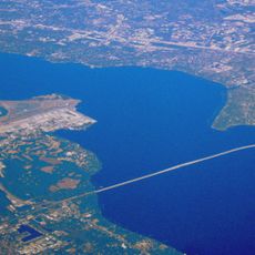
Buckman Bridge
29.9 km
Shands Bridge
23.5 km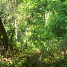
Mike Roess Gold Head Branch State Park
18.8 km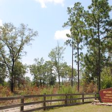
Jennings State Forest
19.7 km
Maple Leaf
25.9 km
Etoniah Creek State Forest
25.7 km
Belmore State Forest
14.4 km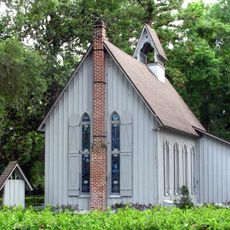
St. Margaret's Episcopal Church and Cemetery
18.5 km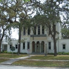
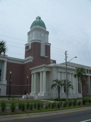
Clay County Courthouse
16.9 km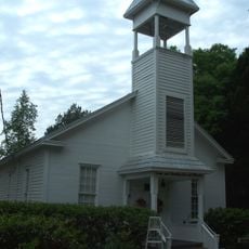
Middleburg United Methodist Church
9.8 km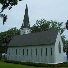
St. Mary's Episcopal Church
17.6 km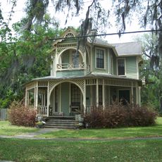
Green Cove Springs Historic District
17.4 km
Middleburg Historic District
9.9 km
River Road Historic District
26.5 km
Memorial Home Community Historic District
5 km
Clay County Historical Museum
17 km
Holly Cottage
18.4 km
Winterbourne
26 km
Joseph Green House
25.6 km
Clark-Chalker House
9.9 km
George A. Chalker House
9.7 km
William Helffrich House
26.4 km
Orange Park, Florida MPS
25.6 km
William Clarke Estate
24.9 km
Bostwick School
31.9 km
Haskell-Long House
10.1 km
Frosard W. Budington House
9.9 km
William Westcott House
24.9 kmReviews
Visited this place? Tap the stars to rate it and share your experience / photos with the community! Try now! You can cancel it anytime.
Discover hidden gems everywhere you go!
From secret cafés to breathtaking viewpoints, skip the crowded tourist spots and find places that match your style. Our app makes it easy with voice search, smart filtering, route optimization, and insider tips from travelers worldwide. Download now for the complete mobile experience.

A unique approach to discovering new places❞
— Le Figaro
All the places worth exploring❞
— France Info
A tailor-made excursion in just a few clicks❞
— 20 Minutes