Dixie County

Log in to your account

AroundUs is a community-driven map of interesting places, built by curious explorers like you. It grows with every review, story, and photo you share.
Connect to save your favorite spots, contribute locations, and create personalized routes.
Continue with Google
Continue with Apple
Continue with X
Continue with Facebook
Continue with email
By continuing, you accept our Terms and Conditions and our Privacy Policy
Create an account
Add to collection
Map
Suggest a change
Share

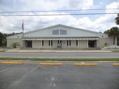
Dixie County, County division in Florida, US

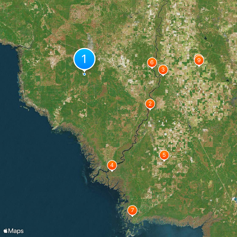
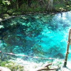
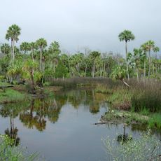
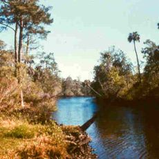
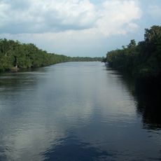
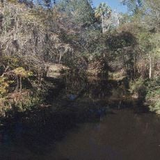
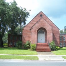
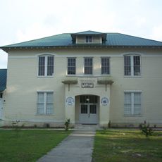
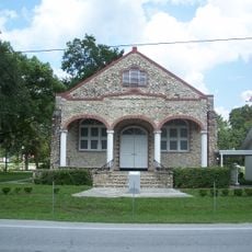
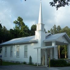
Dixie County is an administrative division in northern Florida featuring diverse natural areas including rivers, forests, and small communities scattered throughout. The landscape consists of wetlands, river corridors, and wooded regions that create a mix of aquatic and terrestrial environments.

This administrative division was established in 1921 and took its name from a term historically used to refer to the American South. Its development followed patterns of river trade, logging, and agricultural settlement common to the Big Bend region.

The area holds onto its rural roots through local festivals where people gather to celebrate farming and fishing traditions that shaped the region. You can see how these customs remain part of daily life and community identity today.

The area is rural and spread out, so having your own vehicle is necessary to explore the various river areas and wildlife refuges. You should prepare for changing weather conditions and insects, particularly during warmer months when wildlife activity increases.

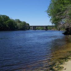
A sunken steamboat rests beneath the river waters, a remnant of when river transport was vital to moving goods and people through the region. This submerged hull serves as a quiet reminder of the waterways that once bustled with commerce.

Location: Florida

Inception: April 25, 1921

Capital city: Cross City

Reference: 12-029

Shares border with: Taylor County, Lafayette County, Gilchrist County, Levy County

Website: http://dixie.fl.gov

GPS coordinates: 29.59000,-83.19000

Latest update: December 20, 2025 01:58

Photos
Around this place
United States of America

Manatee Springs State Park

23.4 km
Fanning Springs State Park
United States of America

Fanning Springs State Park

24.7 km
Lower Suwannee National Wildlife Refuge
United States of America

Lower Suwannee National Wildlife Refuge

31.7 km
Waccasassa Bay Preserve State Park
United States of America

Waccasassa Bay Preserve State Park

37 km
City of Hawkinsville
United States of America

City of Hawkinsville

21.3 km
United States of America

Cedar Key Scrub State Reserve

47.1 km
Coca-Cola Bottling Plant
United States of America

Coca-Cola Bottling Plant

36.1 km
Gilchrist County Courthouse
United States of America

Gilchrist County Courthouse

36.1 km
Steinhatchee Falls
United States of America

Steinhatchee Falls

22.9 km
First Baptist Church
United States of America

First Baptist Church

36.3 km
Old Town Elementary School
United States of America

Old Town Elementary School

20.2 km
Trenton Church of Christ
United States of America

Trenton Church of Christ

36.1 km
Old Town Methodist Church
United States of America

Old Town Methodist Church

19.9 km
United States of America

Andrews Wildlife Management Area

26 km
United States of America

Garden Patch Archeological Site

19.3 km
Joe H. Anderson Sr. Bridge
United States of America

Joe H. Anderson Sr. Bridge

24.2 km
United States of America

Chief Theater

34.4 km
United States of America

Long Pond

37.1 km
United States of America

McMillan Bluff

25.7 km
United States of America

Manatee Springs

23.4 km
United States of America

Chiefland Golf & Country Club

27.1 km
United States of America

Spring Dive Entrance

23.6 km
United States of America

Trenton Train Station

36 km
United States of America

Chief Theater

34.4 km
United States of America

Manatee

23.5 km
United States of America

Scenic viewpoint

44.4 km
United States of America

Scenic viewpoint

33.7 km
United States of America

Shell Mound Observation Deck

44.3 km
Show the full map
Reviews

Visited this place? Tap the stars to rate it and share your experience / photos with the community! Try now! You can cancel it anytime.

Administrative divisions
« Dixie County - County division in Florida, US » is provided by Around Us (aroundus.com). Images and texts are derived from Wikimedia project under a Creative Commons license. You are allowed to copy, distribute, and modify copies of this page, under the conditions set by the license, as long as this note is clearly visible.

Discover hidden gems everywhere you go!

From secret cafés to breathtaking viewpoints, skip the crowded tourist spots and find places that match your style. Our app makes it easy with voice search, smart filtering, route optimization, and insider tips from travelers worldwide. Download now for the complete mobile experience.

Around Us App Screenshot

A unique approach to discovering new places

Le Figaro

All the places worth exploring

France Info

A tailor-made excursion in just a few clicks

20 Minutes