Chest opened
+${chestReward.xp} XP
Explorer
NOUVEAU ×${chestReward.collectible.quantity}
tapez pour fermer

See the monuments around you in AR Open chests in the app

Around Us is built for your phone — point your camera at the streets and discover the monuments and places around you in augmented reality. Around Us is built for your phone — chests unlock when you walk, explore and capture nearby places.

Enable Location

We need your location to show you interesting places around you

Discover nearby places

Find interesting locations and hidden gems around you

Precise directions

Get accurate directions and distances to places

Your location is never shared with other users. It's only used when you tap the location button.

Log in to your account

Start exploring — it's free

Trusted by 85,978 travelers worldwide

Continue with Google
Continue with Apple
or

We will send you a code to connect

By continuing, you accept our Terms and Conditions and our Privacy Policy

Check your inbox

We've sent a pincode in your inbox. Please enter the code below.

Fort Center
Discussion Reviews Photo
6.4k Popularity

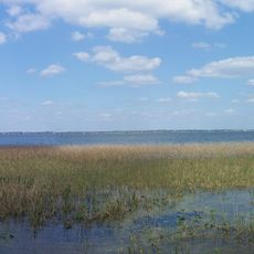
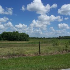
Fort Center, Archaeological site at Fisheating Creek, Florida, US

Fort Center is an archaeological site along Fisheating Creek containing earth mounds, long embankments, and circular ditches spread across a large area. The remains show traces of different periods of settlement and occupation.

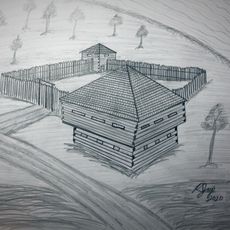
People lived at this location for over a thousand years, from ancient times until the early colonial period. Later, the place served as a military position during conflicts in the 19th century.

Wooden carvings of animals and pottery found here show what mattered to the people who lived at this place. These objects reveal how they expressed their beliefs through their art and daily crafts.

The site is located along Fisheating Creek near Moore Haven, which means the ground can often be soft and muddy. Wear sturdy footwear and plan your visit during drier months for easier walking.

People at this place grew corn varieties from Mexico long before Europeans arrived in Florida. They built special raised beds to cultivate crops in the wet tropical environment.

The community of curious travelers

AroundUs brings together thousands of curated places, local tips, and hidden gems, enriched daily by 60,000 contributors worldwide.
Start exploring
Location
GPS coordinates
26.95070,-81.13640
Latest update
September 12, 2026 00:52
Around this place
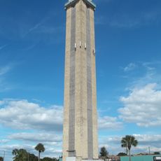
Lake Placid Tower
United States of America

Lake Placid Tower

27.8 mi
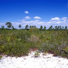
Lake Wales Ridge National Wildlife Refuge
United States of America

Lake Wales Ridge National Wildlife Refuge

31.3 mi
Archbold Biological Station
United States of America

Archbold Biological Station

20.6 mi
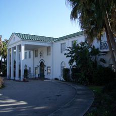
Clewiston Inn
United States of America

Clewiston Inn

18.5 mi
Lake June in Winter Scrub State Park
United States of America

Lake June in Winter Scrub State Park

28.8 mi
Port Mayaca Lock and Dam
United States of America

Port Mayaca Lock and Dam

31.9 mi
Fort Basinger
United States of America

Fort Basinger

29 mi
Okeechobee Battlefield
United States of America

Okeechobee Battlefield

28.5 mi
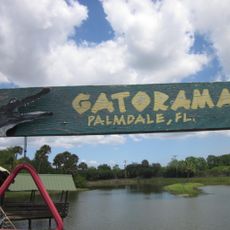
Gatorama
United States of America

Gatorama

9.8 mi
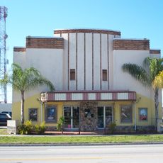
Clewiston Theater
United States of America

Clewiston Theater

18.5 mi
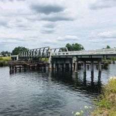
Fort Denaud Bridge
United States of America

Fort Denaud Bridge

27.1 mi
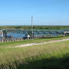
Torry Island Swing Bridge
United States of America

Torry Island Swing Bridge

31.2 mi
Executive House
United States of America

Executive House

18.1 mi
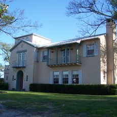
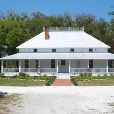
Capt. Francis A. Hendry House
United States of America

Capt. Francis A. Hendry House

23.1 mi
Okeechobee County Courthouse
United States of America

Okeechobee County Courthouse

27.6 mi
Old Hendry County Courthouse
United States of America

Old Hendry County Courthouse

22.7 mi
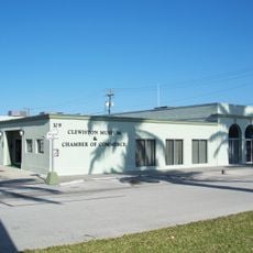
Clewiston Museum
United States of America

Clewiston Museum

18.5 mi
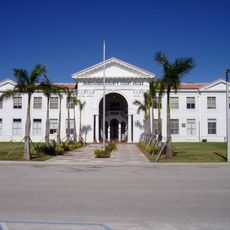
Glades County Courthouse
United States of America

Glades County Courthouse

8.5 mi
First Methodist Episcopal Church
United States of America

First Methodist Episcopal Church

27.7 mi
Freedman-Raulerson House
United States of America

Freedman-Raulerson House

27.4 mi
Downtown LaBelle Historic District
United States of America

Downtown LaBelle Historic District

22.5 mi
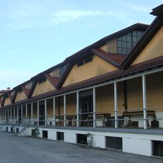
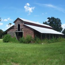
Red Barn
United States of America

Red Barn

8.6 mi
Capt. F. Deane Duff House
United States of America

Capt. F. Deane Duff House

18.1 mi
Moore Haven Downtown Historic District
United States of America

Moore Haven Downtown Historic District

8.7 mi
Clewiston Historic Schools
United States of America

Clewiston Historic Schools

18.6 mi
Scharnberg House
United States of America

Scharnberg House

18.3 mi
Forrey Building and Annex
United States of America

Forrey Building and Annex

22.6 mi
Moore Haven Residential Historic District
United States of America

Moore Haven Residential Historic District

8.7 mi
Show the full map
Reviews
Share your experience

No review yet

Discussions
Start a discussion...

No discussion yet

« Fort Center - Archaeological site at Fisheating Creek, Florida, US » is provided by Around Us (aroundus.com). Images and texts are derived from Wikimedia project under a Creative Commons license. You are allowed to copy, distribute, and modify copies of this page, under the conditions set by the license, as long as this note is clearly visible.

Discover hidden gems everywhere you go!

From secret cafés to breathtaking viewpoints, skip the crowded tourist spots and find places that match your style. Our app makes it easy with voice search, smart filtering, route optimization, and insider tips from travelers worldwide. Download now for the complete mobile experience.
Around Us App Screenshot

A unique approach to discovering new places

Le Figaro

All the places worth exploring

France Info

A tailor-made excursion in just a few clicks

20 Minutes

Around Us
Travel Guide & Maps
Download

Send to your phone

QR Code
1

Open the camera app on your mobile.

2

Point at the QR code with your camera. A notification will appear.

3

Tap the notification to open the link.