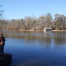
Chattahoochee River, River border in Alabama and Georgia, United States.
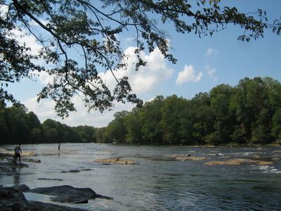
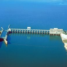
The Chattahoochee is a river in the southern United States that flows 430 miles from northern Georgia to the Florida border, forming the boundary between Alabama and Georgia. Several reservoirs interrupt the flow, creating different sections with varying water levels and widths along the entire route.
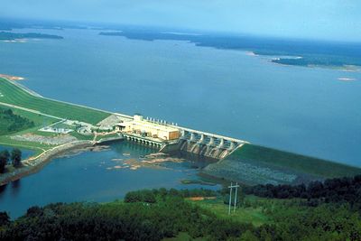
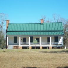
Native American communities settled along the banks and used granite outcroppings by the water as markers for their territories. Settlements arose at strategic points in the 19th century, followed later by dams for power generation and water supply.
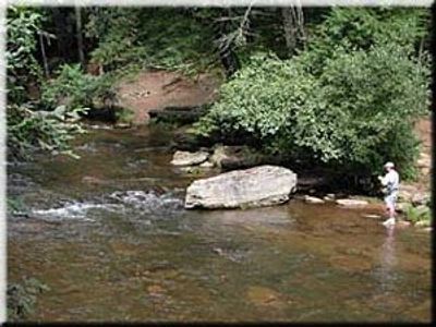
The name comes from the Muskogee language and means painted rocks, referring to granite formations along the waterway. Today, anglers and boaters share the water while many stretches of the shoreline serve as spots for picnics and day trips.
Fishing permits vary by state, with separate licenses required for Alabama and Georgia. Many stretches of the bank are accessible by car, while other sections can only be reached from the water or through hiking trails.
The river system supports more fish species than any other Gulf Coast drainage east of the Mississippi, drawing interest from both anglers and biologists. Among them are rare freshwater mussels found in only a few waterways in the Southeast.
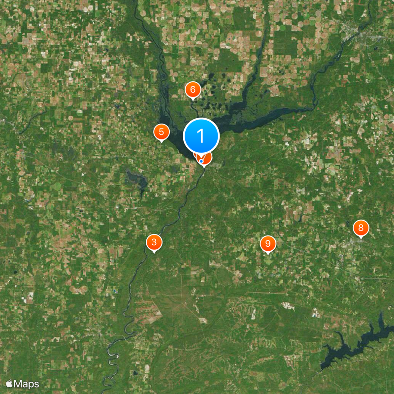
The community of curious travelers
AroundUs brings together thousands of curated places, local tips, and hidden gems, enriched daily by 60,000 contributors worldwide.