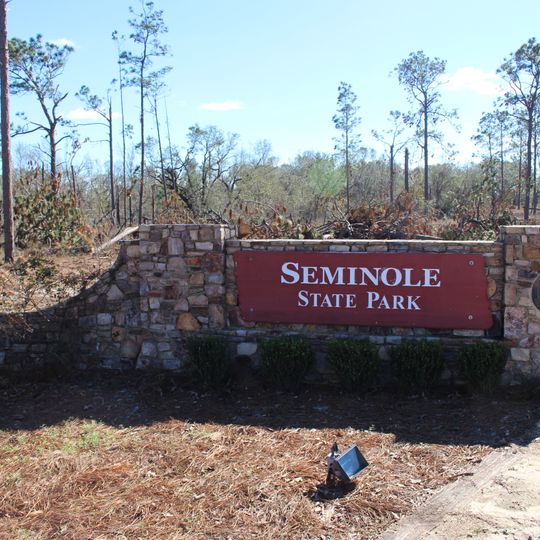
Seminole State Park, State park on Lake Seminole near Donalsonville, Georgia, USA
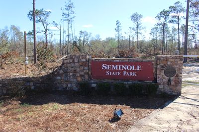
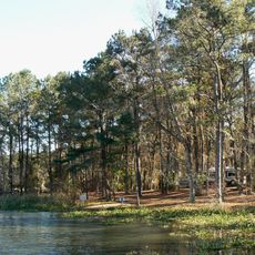
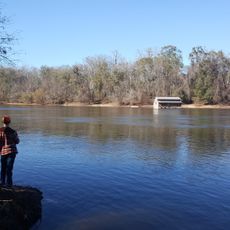
Seminole State Park covers 604 acres (2.44 km2) on the shores of Lake Seminole in the southwest corner of Georgia. The park holds 50 tent, trailer and RV campsites, 14 cottages, a lake swimming beach, five picnic shelters and a group shelter seating 200. A red sign with white capital letters reading "SEMINOLE STATE PARK" is bolted at its four corners to a low wall of irregular light-brown and gray stones, with small dark green shrubs along the base.
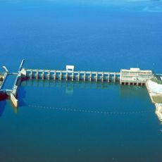
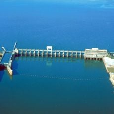
The park was created near Lake Seminole, which formed in 1957 when the Jim Woodruff Dam was completed. This water project transformed the landscape and eventually led to the park's establishment.
The park takes its name from Seminole County, whose name refers to the Seminole people. Visitors today see the name on a red sign with white capital letters, bolted at its four corners to a low wall of irregular light-brown and gray stones, with a row of small dark green shrubs along the base.
The park offers lodging in lakeside cottages and camping areas along with boat ramps for water access. Visitors should note that seasonal conditions affect accessibility in some areas of the grounds.
The park's 604 acres include a treehouse campsite that sleeps up to fifteen people, and a group shelter that seats two hundred. The site lies on the shore of Lake Seminole, 26 meters above sea level, about 11.5 km from Chattahoochee.
The community of curious travelers
AroundUs brings together thousands of curated places, local tips, and hidden gems, enriched daily by 92,727 contributors worldwide.