Enable Location

We need your location to show you interesting places around you

Discover nearby places

Find interesting locations and hidden gems around you

Precise directions

Get accurate directions and distances to places

Your location is never shared with other users. It's only used when you tap the location button.

Henry County

Log in to your account

Start exploring — it's free

Trusted by 61,875 travelers worldwide

Continue with Google
Continue with Apple
or

We will send you a code to connect

By continuing, you accept our Terms and Conditions and our Privacy Policy

Check your inbox

We've sent a pincode in your inbox. Please enter the code below.

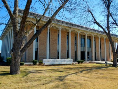
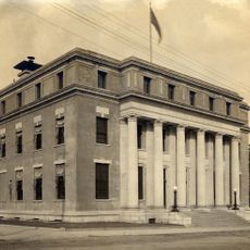
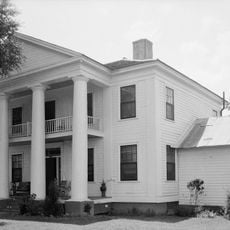
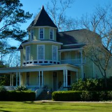
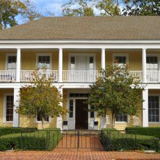
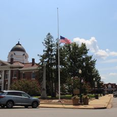
Henry County, Administrative division in Georgia, United States

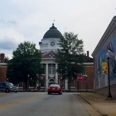
Henry County is an administrative division in north-central Georgia that includes the cities of McDonough, Hampton, Locust Grove, and Stockbridge. The area encompasses residential neighborhoods and commercial centers managed through a local government structure with a chairperson and district representatives.

Georgia's state legislature established Henry County in 1821 on territory that once belonged to the Creek Nation, naming it after American Revolution leader Patrick Henry. This founding marked the beginning of organized settlement in the region.

The county population reflects demographic shifts, with African Americans representing 48 percent, White residents 35 percent, and Hispanic residents 7 percent of inhabitants.

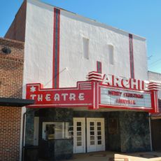
The main cities within the county are accessible by local roads and offer a range of services and facilities. Visitors should plan around varying traffic conditions depending on which areas they visit.

The Atlanta Motor Speedway, a major racing facility, is located within the county and regularly attracts motorsport fans. This venue shapes much of the region's character and energy.

The community of curious travelers

AroundUs brings together thousands of curated places, local tips, and hidden gems, enriched daily by 60,000 contributors worldwide.

Start exploring
GPS coordinates
31.48380,-85.24474
Latest update
December 7, 2025 19:27
Around this place
Walter F. George Lake
United States of America

Walter F. George Lake

36.7 km
Kolomoki Mounds State Park
United States of America

Kolomoki Mounds State Park

30.4 km
Shorter Mansion
United States of America

Shorter Mansion

46.8 km
George T. Bagby State Park
United States of America

George T. Bagby State Park

26.9 km
Henry D. Clayton House
United States of America

Henry D. Clayton House

46.8 km
Wiregrass Museum of Art
United States of America

Wiregrass Museum of Art

32 km
Dothan Opera House
United States of America

Dothan Opera House

32.1 km
Kendall Manor
United States of America

Kendall Manor

46.4 km
Early County Courthouse
United States of America

Early County Courthouse

31.8 km
Claybank Log Church
United States of America

Claybank Log Church

39.8 km
Coheelee Creek Covered Bridge
United States of America

Coheelee Creek Covered Bridge

25.3 km
Kennedy House
United States of America

Kennedy House

9.3 km
Cato House
United States of America

Cato House

46.2 km
Federal Building and United States Courthouse
United States of America

Federal Building and United States Courthouse

32 km
Wellborn
United States of America

Wellborn

46.7 km
Purcell-Killingsworth House
United States of America

Purcell-Killingsworth House

24.4 km
The Tavern
United States of America

The Tavern

46.4 km
Drewry-Mitchell-Moorer House
United States of America

Drewry-Mitchell-Moorer House

47.2 km
Quitman County Courthouse and Old Jail
United States of America

Quitman County Courthouse and Old Jail

46.6 km
Bray-Barron House
United States of America

Bray-Barron House

47 km
Dill House
United States of America

Dill House

23.1 km
Blakely Court Square Historic District
United States of America

Blakely Court Square Historic District

31.8 km
Kiels-McNab House
United States of America

Kiels-McNab House

45.8 km
McNab Bank Building
United States of America

McNab Bank Building

46.5 km
Clay County Courthouse
United States of America

Clay County Courthouse

22.9 km
Confederate Flagpole at Blakley
United States of America

Confederate Flagpole at Blakley

31.8 km
Fendall Hall
United States of America

Fendall Hall

46.1 km
Archie Theater
United States of America

Archie Theater

8.7 km
Show the full map
« Henry County - Administrative division in Georgia, United States » is provided by Around Us (aroundus.com). Images and texts are derived from Wikimedia project under a Creative Commons license. You are allowed to copy, distribute, and modify copies of this page, under the conditions set by the license, as long as this note is clearly visible.

Discover hidden gems everywhere you go!

From secret cafés to breathtaking viewpoints, skip the crowded tourist spots and find places that match your style. Our app makes it easy with voice search, smart filtering, route optimization, and insider tips from travelers worldwide. Download now for the complete mobile experience.

Around Us App Screenshot

A unique approach to discovering new places

Le Figaro

All the places worth exploring

France Info

A tailor-made excursion in just a few clicks

20 Minutes

Around Us
Travel Guide & Maps
Download

Send to your phone

QR Code
1

Open the camera app on your mobile.

2

Point at the QR code with your camera. A notification will appear.

3

Tap the notification to open the link.